Road Stream Crossing Site GTBAY_S821
Boardman River Watershed, Kids Creek
Creekside Dr
Garfield Twp,
Grand Traverse County
Information collected by:
Site Location
GPS Coordinates: 44.73271
, -85.65614
T27N
R11W
Sec 15
Fish Passability 1
Structure is NOT Perched
Total Erosion: 0.127 tons/year
Severity: Minor
Year Inventoried: 2020
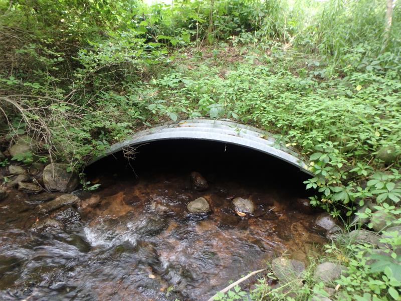
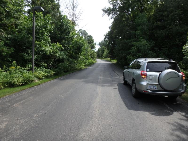
Inlet
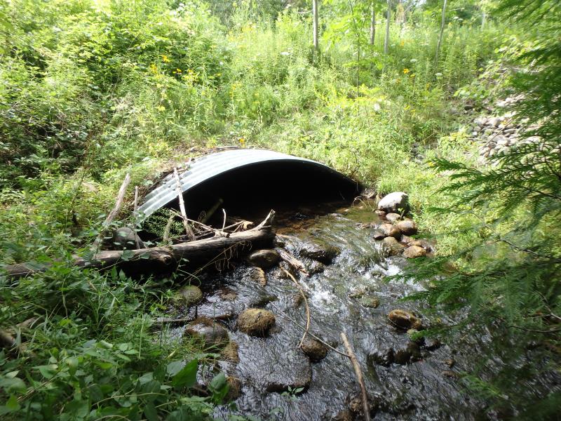
Outlet
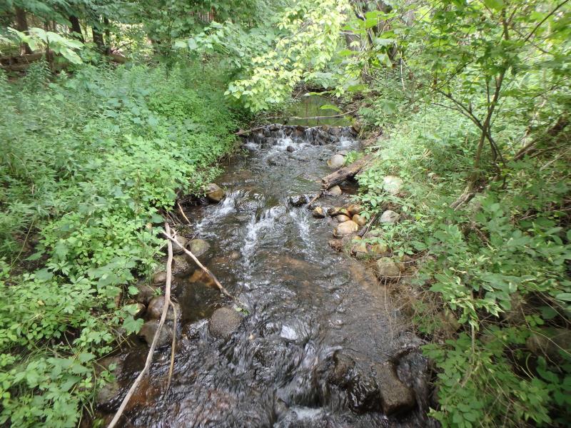
Upstream Conditions
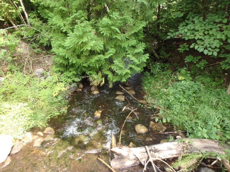
Downstream Conditions
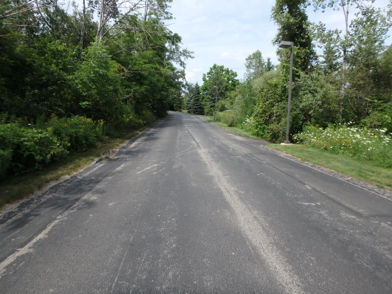
Road Approach - Left
Road Approach - Right
Crossing Information
Type of Crossing: culvert(s)
Number of Structures: 1
Structure Shape: Open Bottom Arch
Inlet Type: Projecting
Outlet Type: At Stream Grade
Structure Material: Metal
Structure Substrate: Mixture
General Conditions: Good
Structure Interior: corrugated
Dimensions of Structure: Length 63.5 ft.
, Width 10 ft.
, Height 2.5 ft.
Structure is NOT Perched
Structure Inlet
Water Depth: 0.4 ft.
Embedded Depth of Structure: 0 ft.
Water Velocity*: 1.1 ft./sec.
Structure Outlet
Water Depth: 0.4 ft.
Embedded Depth of Structure: 0 ft.
Water Velocity*: 0.5 ft./sec.
*Water Velocities were measured 0.2 ft. below Surface
(with Meter)
Additional Comments
Stone impoundment upstream
Stream Information
Stream Flow: Less than Bankfull
Riffle Information
Water Depth: 0.5 ft.
Bankfull Width: 9 ft.
Wetted Width: 8 ft.
Water Velocity: 0.6 ft./sec.
(Measured with Meter)
Dominant Substrate: Sand
Road Information
Paved
Town Road
Road Condition: Good
Road Width at Culvert: 23 ft.
Location of Low Point: Other
Runoff Path: Ditch
Embankments
Upstream
Fill Depth: 5 ft.
Slope: 1:2
Downstream
Fill Depth: 5 ft.
Slope: 1:2
Approaches
Left Approach
Length: 350 ft.
Slope: 1% to 5%
Vegetation: Heavy
LS Factor: 0.47
Erosion: 0.1251 tons/year
Right Approach
Length: 50 ft.
Slope: Less Than 1%
Vegetation: Heavy
LS Factor: 0.05
Erosion: 0.0019 tons/year
Erosion Information
Total Erosion at Crossing: 0.127 tons/year
Summary Information
Fish Passability 1
Fish Passage is an area of concern for this site.
Eventually issue with upstream impoundment
�