Road Stream Crossing Site GTBAY_S847
Boardman River Watershed, Boardman River Tributary
Cottageview Dr
Garfield Twp,
Grand Traverse County
Information collected by:
Site Location
GPS Coordinates: 44.75675
, -85.64488
T27N
R11W
Sec 09
Owned by Local Government
Fish Passability 0.9
Total Erosion: 0.0133 tons/year
Severity: Minor
Year Inventoried: 2020
Inlet
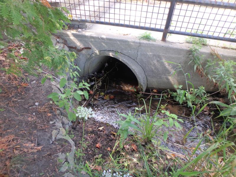
Outlet
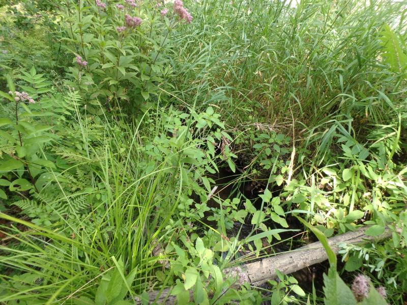
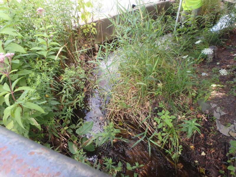
Downstream Conditions
Road Approach - Left
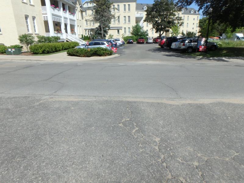
Road Approach - Right
Crossing Information
Type of Crossing: culvert(s)
Number of Structures: 1
Structure Shape: Round
Inlet Type: Headwall
Outlet Type: At Stream Grade
Structure Material: Concrete
Structure Substrate: Sand
General Conditions: Fair
Dimensions of Structure: Length 92 ft.
, Width 2.5 ft.
, Height 2.5 ft.
Structure Inlet
Water Depth: 0.6 ft.
Embedded Depth of Structure: 0.2 ft.
Water Velocity*: 1 ft./sec.
Structure Outlet
Water Depth: 0.2 ft.
Embedded Depth of Structure: 0.8 ft.
Water Velocity*: 0.5 ft./sec.
*Water Velocities were measured at the Surface
(with Meter)
Stream Information
Stream Flow: Less than Bankfull
Riffle Information
Water Depth: 0.3 ft.
Bankfull Width: 5.1 ft.
Wetted Width: 3.2 ft.
Water Velocity: 0.5 ft./sec.
(Measured with Meter)
Dominant Substrate: Sand
Road Information
Paved
Private Road
Road Condition: Fair
Road Width at Culvert: 23 ft.
Location of Low Point: Other
Runoff Path: Roadway
Embankments
Upstream
Fill Depth: 0.4 ft.
Slope: Vertical
Downstream
Fill Depth: 0.4 ft.
Slope: Vertical
Approaches
Left Approach
Length: 50 ft.
Slope: 1% to 5%
Vegetation: None
LS Factor: 0.3
Erosion: 0.0114 tons/year
Right Approach
Length: 50 ft.
Slope: Less Than 1%
Vegetation: None
LS Factor: 0.05
Erosion: 0.0019 tons/year
Erosion Information
Total Erosion at Crossing: 0.0133 tons/year
Summary Information
Fish Passability 0.9
�