Road Stream Crossing Site GTBAY_S848
Boardman River Watershed, Boardman River Tributary
Yellow Rd
Garfield Twp,
Grand Traverse County
Information collected by:
Site Location
GPS Coordinates: 44.755981
, -85.64518
T27N
R11W
Sec 09
Owned by Private
Fish Passability 0.5
Total Erosion: 0.3198 tons/year
Severity: Moderate
Year Inventoried: 2020
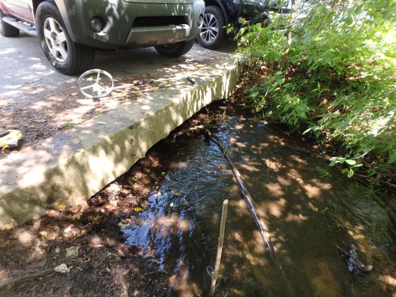
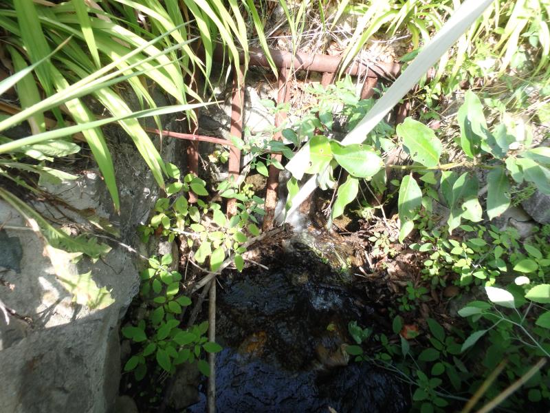
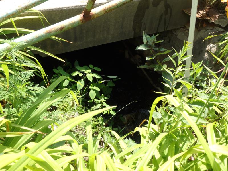
Inlet
Outlet
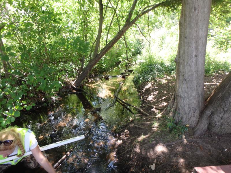
Upstream Conditions
Downstream Conditions
Road Approach - Left
Road Approach - Right
Crossing Information
Type of Crossing: Other
Structure Shape: Square/Rectangle
Inlet Type: Headwall
Outlet Type: Other
Structure Material: Concrete
Structure Substrate: Sand
General Conditions: Fair
Dimensions of Structure: Length 32 ft.
, Width 6 ft.
, Height 0.8 ft.
Structure Inlet
Water Depth: 0.4 ft.
Embedded Depth of Structure: 0 ft.
Water Velocity*: 3 ft./sec.
Structure Outlet
Water Depth: 0.1 ft.
Embedded Depth of Structure: 0 ft.
Water Velocity*: 0.5 ft./sec.
*Water Velocities were measured at the Surface
(with Meter)
Stream Information
Stream Flow: Less than Bankfull
Riffle Information
Water Depth: 0.5 ft.
Bankfull Width: 6 ft.
Wetted Width: 4 ft.
Water Velocity: 0.6 ft./sec.
(Measured with Meter)
Dominant Substrate: Sand
Road Information
Paved
Private Road
Road Condition: Poor
Road Width at Culvert: 30 ft.
Location of Low Point: Other
Runoff Path: Roadway
Fill Depth: 0 ft.
Slope: Vertical
Fill Depth: 0 ft.
Slope: Vertical
Approaches
Left Approach
Length: 500 ft.
Slope: 1% to 5%
Vegetation: Partial
LS Factor: 0.64
Erosion: 0.3174 tons/year
Right Approach
Length: 50 ft.
Slope: Less Than 1%
Vegetation: None
LS Factor: 0.05
Erosion: 0.0025 tons/year
Erosion Information
Total Erosion at Crossing: 0.3198 tons/year
Summary Information
Fish Passability 0.5
Fish Passage is an area of concern for this site.
These non-native species were observerd at this site: Multiflora rosa
�