Road Stream Crossing Site GTBAY_S896
Boardman River Watershed, Beitner Creek
Beitner Rd
Blair Twp,
Grand Traverse County
Information collected by:
Site Location
GPS Coordinates: 44.67167
, -85.63709
T26N
R11W
Sec 09
Owned by Private
Total Erosion: 0.0524 tons/year
Severity: Minor
Year Inventoried: 2020
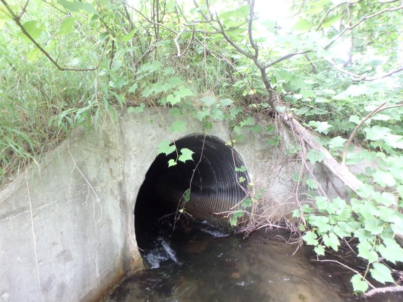
Inlet
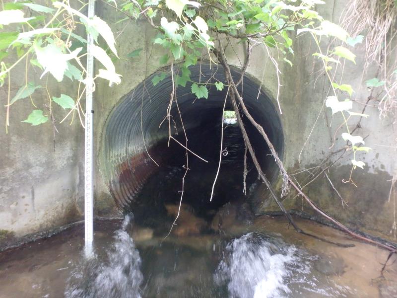
Outlet
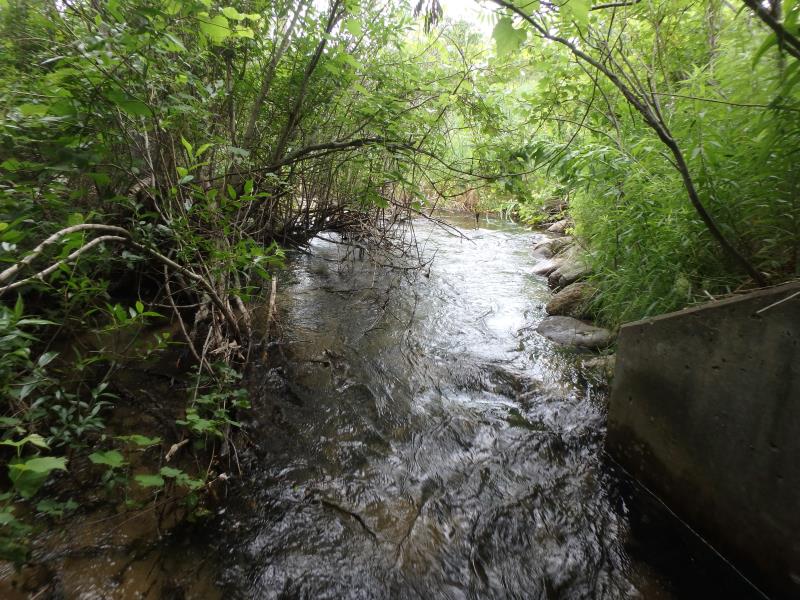
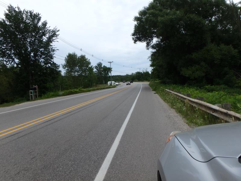
Upstream Conditions
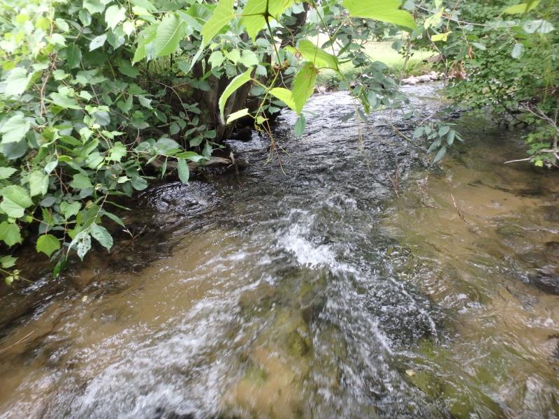
Downstream Conditions
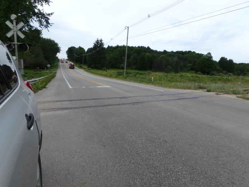
Road Approach - Left
Road Approach - Right
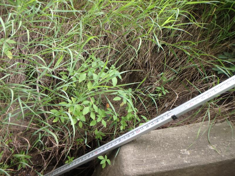
Erosion
Crossing Information
Type of Crossing: culvert(s)
Structure Shape: Round
Inlet Type: Wingwall 10-30 Degree
Outlet Type: At Stream Grade
Structure Material: Metal
Structure Substrate: None
General Conditions: Good
Structure Interior: corrugated
Dimensions of Structure: Length 70 ft.
, Width 5 ft.
, Height 5 ft.
Structure Inlet
Water Depth: 1.3 ft.
Embedded Depth of Structure: 0 ft.
Water Velocity*: 5 ft./sec.
Structure Outlet
Water Depth: 0.9 ft.
Embedded Depth of Structure: 0 ft.
Water Velocity*: 8.1 ft./sec.
*Water Velocities were measured 0.6 ft. below Surface
(with Meter)
Stream Information
Stream Flow: Less than Bankfull
Dominant Substrate: Sand
Road Information
Paved
County Road
Road Condition: Good
Road Width at Culvert: 36 ft.
Location of Low Point: Other
Runoff Path: Ditch
Embankments
Upstream
Fill Depth: 7 ft.
Slope: Vertical
Downstream
Fill Depth: 7 ft.
Slope: Vertical
Approaches
Left Approach
Length: 100 ft.
Slope: 1% to 5%
Vegetation: Partial
LS Factor: 0.39
Erosion: 0.0464 tons/year
Right Approach
Length: 100 ft.
Slope: Less Than 1%
Vegetation: Heavy
LS Factor: 0.05
Erosion: 0.006 tons/year
Erosion Information
Total Erosion at Crossing: 0.0524 tons/year
Summary Information
These non-native species were observerd at this site: Spotted Knapweed, Bull Thistle, Sweet White Clover
�