Road Stream Crossing Site GTBAY_S896 R
Boardman River Watershed, Beitner Creek
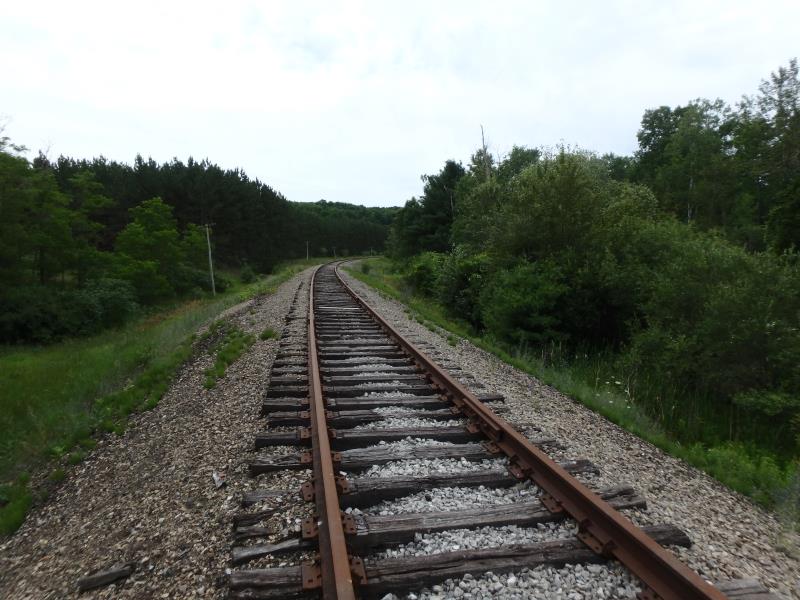
Railroad
Blair Twp,
Grand Traverse County
Information collected by:
Site Location
GPS Coordinates: 44.671677
, -85.63709
T26N
R11W
Sec 09
Owned by Private
Fish Passability 0
Total Erosion: 0.3803 tons/year
Severity: Severe
Year Inventoried: 2020
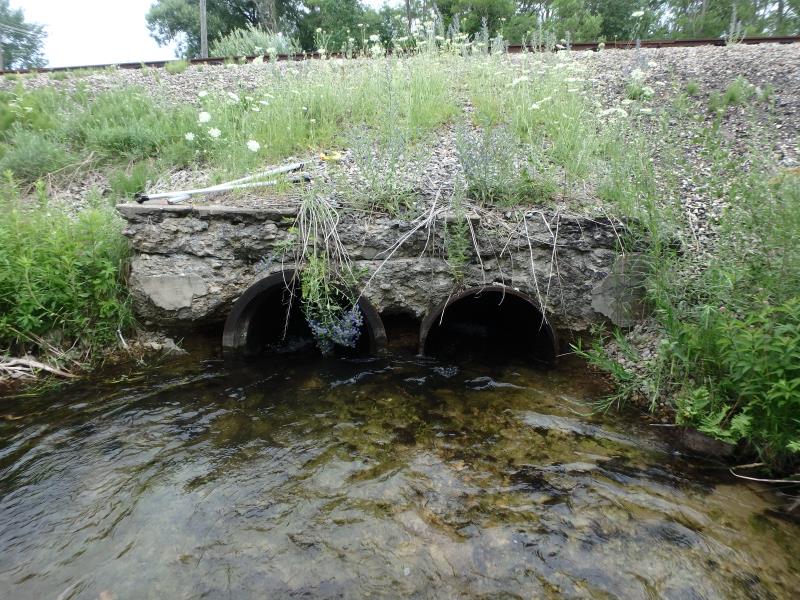
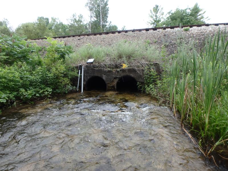
Inlet
Outlet
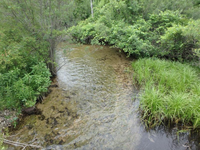
Upstream Conditions
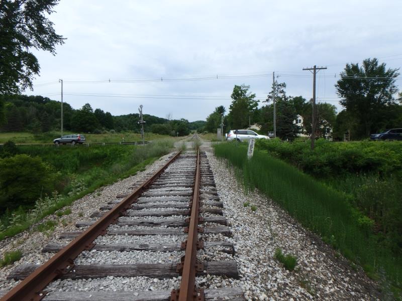
Road Approach - Left
Road Approach - Right
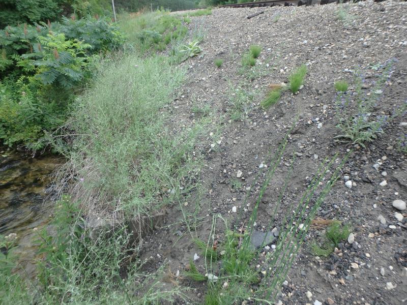
Erosion
Crossing Information
Type of Crossing: culvert(s)
Number of Structures: 2
Structure Shape: Round
Inlet Type: Headwall
Outlet Type: At Stream Grade
Structure Material: Metal
Structure Substrate: Mixture
General Conditions: Poor
Multiple Culverts/Spans | ||||
Culvert/Span | Width | Length | Height | Material |
1 |
3 ft. |
42 ft. |
3 ft. |
Metal |
2 |
3 ft. |
42 ft. |
3 ft. |
Metal |
Structure Interior: smooth
Dimensions of Structure: Length 42 ft.
, Width 3 ft.
, Height 3 ft.
Structure Inlet
Water Depth: 0.8 ft.
Embedded Depth of Structure: 0.6 ft.
Water Velocity*: 3.5 ft./sec.
Structure Outlet
Water Depth: 1.2 ft.
Embedded Depth of Structure: 0 ft.
Water Velocity*: 3.9 ft./sec.
*Water Velocities were measured 0.4 ft. below Surface
(with Meter)
Additional Comments
Water depth and velocity measurements recorded for culvert #1
Stream Information
Stream Flow: Less than Bankfull
Riffle Information
Water Depth: 0.9 ft.
Bankfull Width: 37 ft.
Wetted Width: 17 ft.
Water Velocity: 2.2 ft./sec.
(Measured with Meter)
Dominant Substrate: Sand
Road Information
Gravel
Other Road
Road Condition: Fair
Road Width at Culvert: 8 ft.
Location of Low Point: At Stream
Runoff Path: Ditch
Embankments
Upstream
Fill Depth: 8.5 ft.
Slope: 1:1
Downstream
Fill Depth: 8.5 ft.
Slope: 1:1
Approaches
Left Approach
Length: 100 ft.
Slope: 1% to 5%
Vegetation: None
LS Factor: 0.41
Erosion: 0.0904 tons/year
Right Approach
Length: 220 ft.
Slope: 1% to 5%
Vegetation: None
LS Factor: 0.598
Erosion: 0.2899 tons/year
Erosion Information
Total Erosion at Crossing: 0.3803 tons/year
Location of Erosion | Erosion Dimensions | Eroded Material | Material Eroded | Total Erosion | ||
facing downstream | Length | Width | Depth | Reaching Stream? | (tons/year) | |
Right Downstream Embankment |
20 ft. |
9 ft. |
0.2 ft. |
yes |
Gravelly Loam |
|
Left Downstream Embankment |
20 ft. |
9 ft. |
0.2 ft. |
yes |
Gravelly Loam |
|
Summary Information
Fish Passability 0
These non-native species were observerd at this site: Spotted Knapweed, Sweet White Clover, Autumn Olive
�