Road Stream Crossing Site GTBAY_S906
Boardman River Watershed, Miller Creek Tributary
McRae Hill Rd
Garfield Twp,
Grand Traverse County
Information collected by:
Site Location
GPS Coordinates: 44.71613
, -85.64825
T27N
R11W
Sec 21
Fish Passability 0.9
Total Erosion: 0.2073 tons/year
Severity: Minor
Year Inventoried: 2020
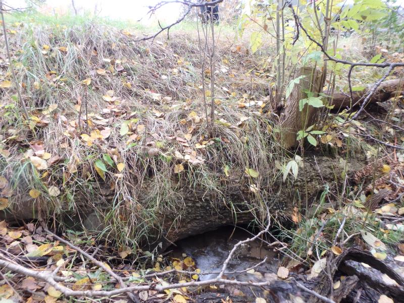
Inlet
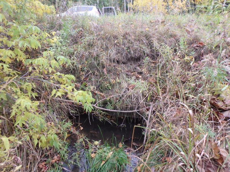
Outlet
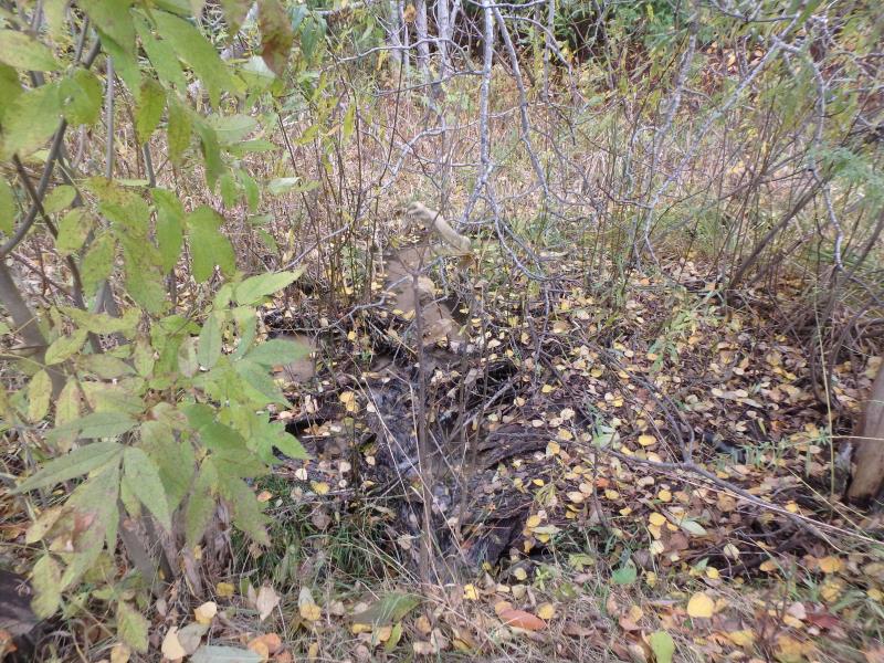
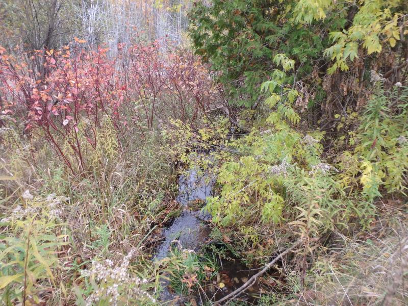
Upstream Conditions
Downstream Conditions
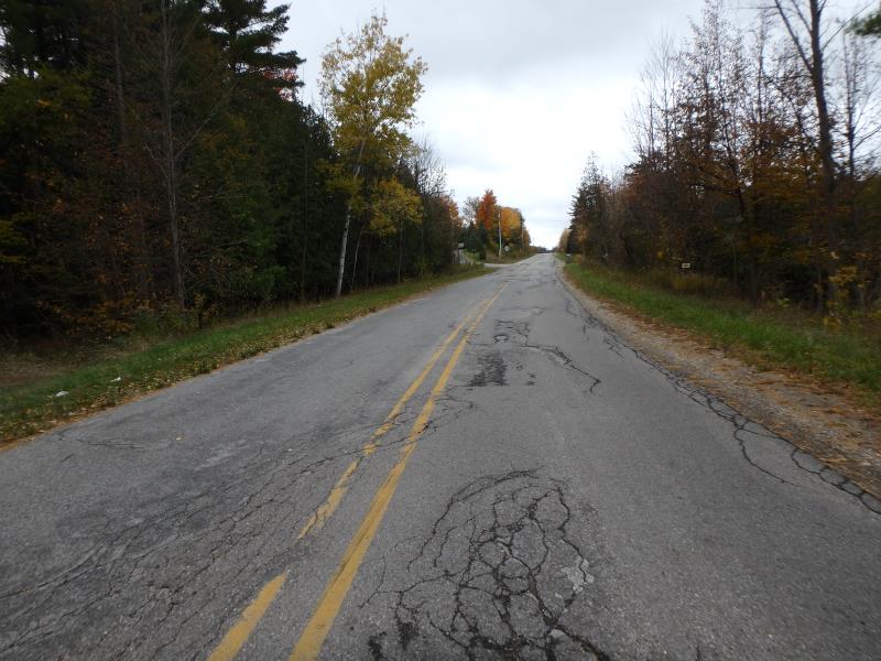
Road Approach - Left
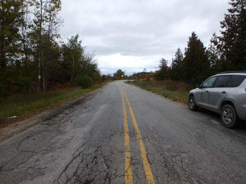
Road Approach - Right
Crossing Information
Type of Crossing: culvert(s)
Number of Structures: 1
Structure Shape: Open Bottom Arch
Inlet Type: Headwall
Outlet Type: At Stream Grade
Structure Material: Concrete
Structure Substrate: Sand
General Conditions: Poor
Dimensions of Structure: Length 36 ft.
, Width 3.3 ft.
, Height 1 ft.
Percentage Plugged:
Inlet: 26% to 50%
Structure Inlet
Water Depth: 0.5 ft.
Embedded Depth of Structure: 1 ft.
Water Velocity*: 0.4 ft./sec.
Structure Outlet
Water Depth: 1.1 ft.
Water Velocity*: 0.2 ft./sec.
*Water Velocities were measured 0.2 ft. below Surface
(with Meter)
Additional Comments
Trees growing into culvert inlet- outlet is submerged
Stream Information
Stream Flow: Less than Bankfull
Riffle Information
Water Depth: 0.3 ft.
Bankfull Width: 2.5 ft.
Wetted Width: 2 ft.
Water Velocity: 0.1 ft./sec.
(Measured with Meter)
Dominant Substrate: Sand
Road Information
Paved
County Road
Road Condition: Poor
Road Width at Culvert: 28 ft.
Location of Low Point: Other
Runoff Path: Roadway
Embankments
Upstream
Fill Depth: 3 ft.
Slope: 1:2
Downstream
Fill Depth: 3 ft.
Slope: 1:2
Approaches
Left Approach
Length: 300 ft.
Slope: 1% to 5%
Vegetation: Heavy
LS Factor: 0.46
Erosion: 0.1277 tons/year
Right Approach
Length: 200 ft.
Slope: 1% to 5%
Vegetation: Heavy
LS Factor: 0.43
Erosion: 0.0796 tons/year
Erosion Information
Total Erosion at Crossing: 0.2073 tons/year
Summary Information
Fish Passability 0.9
A future visit to this site is recommended. Outlet is submerged and Inlet is broken or compromised
�