Road Stream Crossing Site GTBAY_S929
Boardman River Watershed, Jacks Creek
Cass Rd
Garfield Twp,
Grand Traverse County
Information collected by:
Site Location
GPS Coordinates: 44.710969
, -85.62664
T27N
R11W
Sec 27
Fish Passability 0
Perch Height: 1 ft.
Total Erosion: 0.6486 tons/year
Severity: Severe
Year Inventoried: 2020
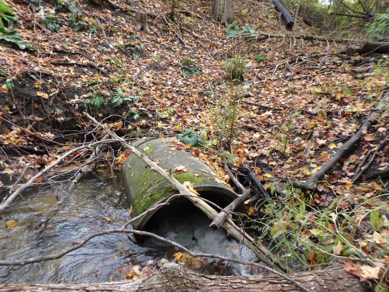
Inlet
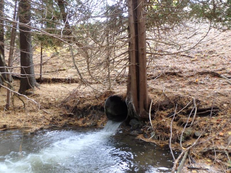
Outlet
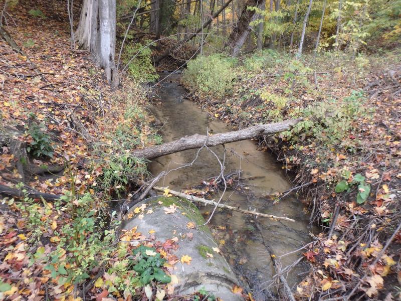
Upstream Conditions
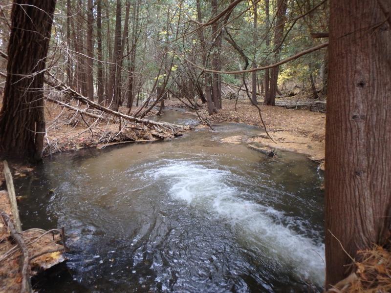
Downstream Conditions
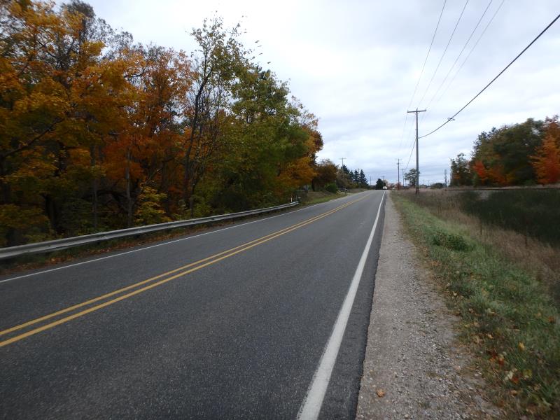
Road Approach - Left
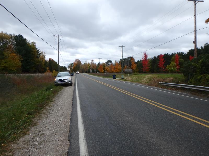
Road Approach - Right
Crossing Information
Type of Crossing: culvert(s)
Number of Structures: 1
Structure Shape: Round
Inlet Type: Projecting
Outlet Type: Freefall into Pool
Structure Material: Concrete
Structure Substrate: Sand
General Conditions: Poor
Structure Interior: smooth
Dimensions of Structure: Length 128 ft.
, Width 3 ft.
, Height 3 ft.
Percentage Plugged:
Inlet: 26% to 50%
Perch Height: 1 ft.
Structure Inlet
Water Depth: 0.6 ft.
Embedded Depth of Structure: 0 ft.
Water Velocity*: 8 ft./sec.
Structure Outlet
Water Depth: 0.4 ft.
Embedded Depth of Structure: 0 ft.
Water Velocity*: 9.5 ft./sec.
*Water Velocities were measured 0.2 ft. below Surface
(with Meter)
Additional Comments
Projecting inlet detached- railroad
Stream Information
Stream Flow: Less than Bankfull
Scour Pool: Length 20 ft.
, Width 20 ft.
, Depth 5 ft.
Riffle Information
Water Depth: 0.3 ft.
Bankfull Width: 14 ft.
Wetted Width: 10 ft.
Water Velocity: 1.7 ft./sec.
(Measured with Meter)
Dominant Substrate: Gravel
Road Information
Paved
County Road
Road Condition: Good
Road Width at Culvert: 28 ft.
Location of Low Point: Other
Runoff Path: Ditch
Embankments
Upstream
Fill Depth: 20 ft.
Slope: 1:1
Downstream
Fill Depth: 20 ft.
Slope: 1:1
Approaches
Left Approach
Length: 500 ft.
Slope: 1% to 5%
Vegetation: Partial
LS Factor: 0.64
Erosion: 0.2962 tons/year
Right Approach
Length: 500 ft.
Slope: 1% to 5%
Vegetation: Heavy
LS Factor: 0.5
Erosion: 0.2314 tons/year
Erosion Information
Total Erosion at Crossing: 0.6486 tons/year
Extent of Erosion: Moderate
Notes: Eroding around inlet, exposing connection. Water flowing into connection
Location of Erosion | Erosion Dimensions | Eroded Material | Material Eroded | Total Erosion | ||
facing downstream | Length | Width | Depth | Reaching Stream? | (tons/year) | |
Left Upstream Embankment |
6 ft. |
5 ft. |
3 ft. |
yes |
Sandy Loam |
0.121 |
Summary Information
Fish Passability 0
Fish Passage is an area of concern for this site.
Perched outlet
These non-native species were observerd at this site: Spotted Knapweed
�