Road Stream Crossing Site GTBAY_S936
Boardman River Watershed, Boardman River
Cass Rd
Garfield Twp,
Grand Traverse County
Information collected by:
Site Location
GPS Coordinates: 44.698254
, -85.620629
T27N
R11W
Sec 34
Owned by Local Government
Private
Private
Fish Passability 1
Total Erosion: 0.677 tons/year
Severity: Restored
Year Inventoried: 2020
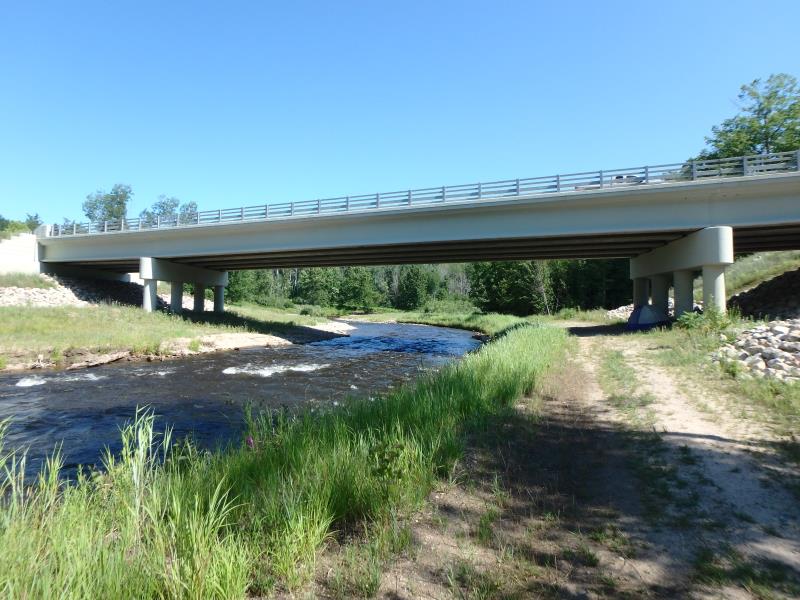
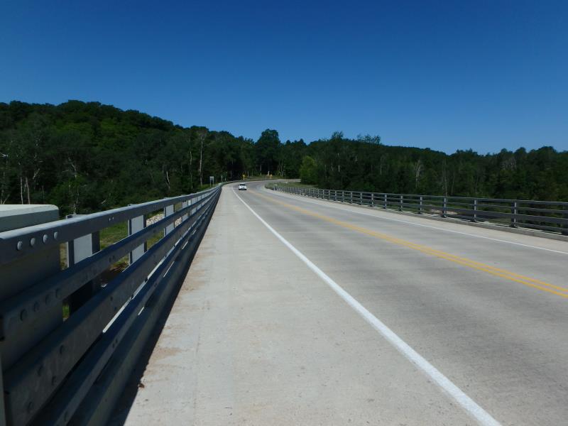
Inlet
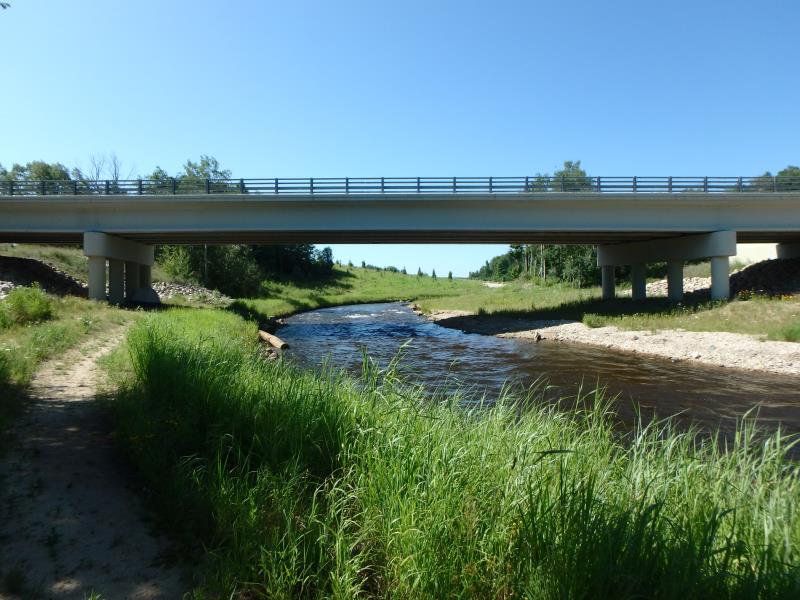
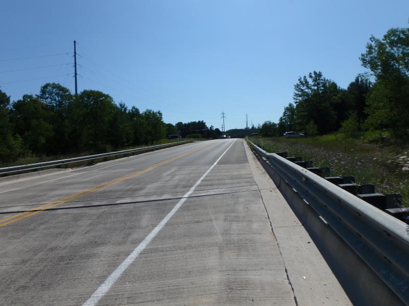
Outlet
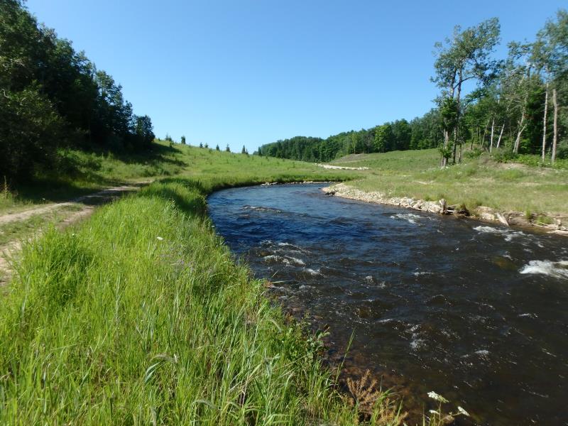
Upstream Conditions
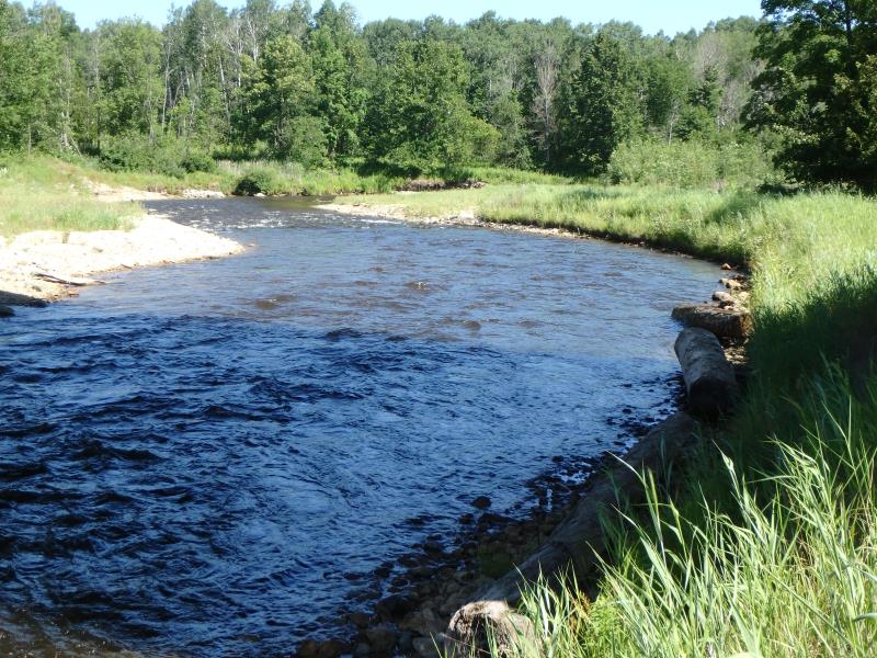
Downstream Conditions
Road Approach - Left
Road Approach - Right
Crossing Information
Type of Crossing: Bridge
Structure Shape: Open Bottom Square/Rectangle
Inlet Type: Wingwall 10-30 Degree
Outlet Type: At Stream Grade
Structure Material: Concrete
Structure Substrate: Rock
General Conditions: New
Structure Interior: smooth
Dimensions of Structure: Length 43 ft.
, Width 262 ft.
, Height 24 ft.
Structure Inlet
Water Depth: 4 ft.
Embedded Depth of Structure: 0 ft.
Water Velocity*: 4 ft./sec.
Structure Outlet
Water Depth: 4 ft.
Embedded Depth of Structure: 0 ft.
Water Velocity*: 4 ft./sec.
*Water Velocities were measured 2.4 ft. below Surface
(with Meter)
Additional Comments
Fast section, new bridge. Change Passability to 1 and severity to minor. Restored section of Boardman river.
Stream Information
Stream Flow: Less than 1/2 Bankfull
Riffle Information
Water Depth: 2.6 ft.
Bankfull Width: 62 ft.
Wetted Width: 37 ft.
Water Velocity: 4 ft./sec.
(Measured with Meter)
Dominant Substrate: Cobble
Road Information
Paved
County Road
Road Condition: Good
Road Width at Culvert: 40 ft.
Location of Low Point: At Stream
Runoff Path: Roadway
Fill Depth: 0 ft.
Slope: Vertical
Fill Depth: 0 ft.
Slope: Vertical
Approaches
Left Approach
Length: 400 ft.
Slope: 1% to 5%
Vegetation: Heavy
LS Factor: 0.48
Erosion: 0.2539 tons/year
Right Approach
Length: 500 ft.
Slope: 1% to 5%
Vegetation: Partial
LS Factor: 0.64
Erosion: 0.4231 tons/year
Erosion Information
Total Erosion at Crossing: 0.677 tons/year
Summary Information
Fish Passability 1
These non-native species were observerd at this site: Purple Loosestrife, Spotted Knapweed, Sweet White Clover
�