Road Stream Crossing Site GTBAY_S941
Boardman River Watershed, N Branch Boardman River Tributary
Selkiek Lake NE
Kalkaska Twp,
Kalkaska County
Information collected by:
Site Location
GPS Coordinates: 44.739866
, -85.114978
T27N
R7W
Sec 14
Owned by Private
Fish Passability 0.9
Total Erosion: 0.0316 tons/year
Severity: Minor
Year Inventoried: 2020
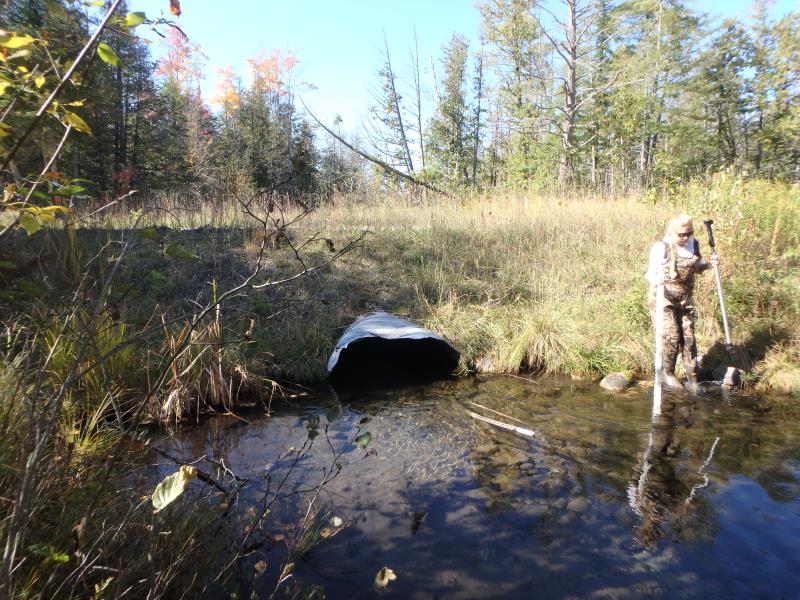
Inlet
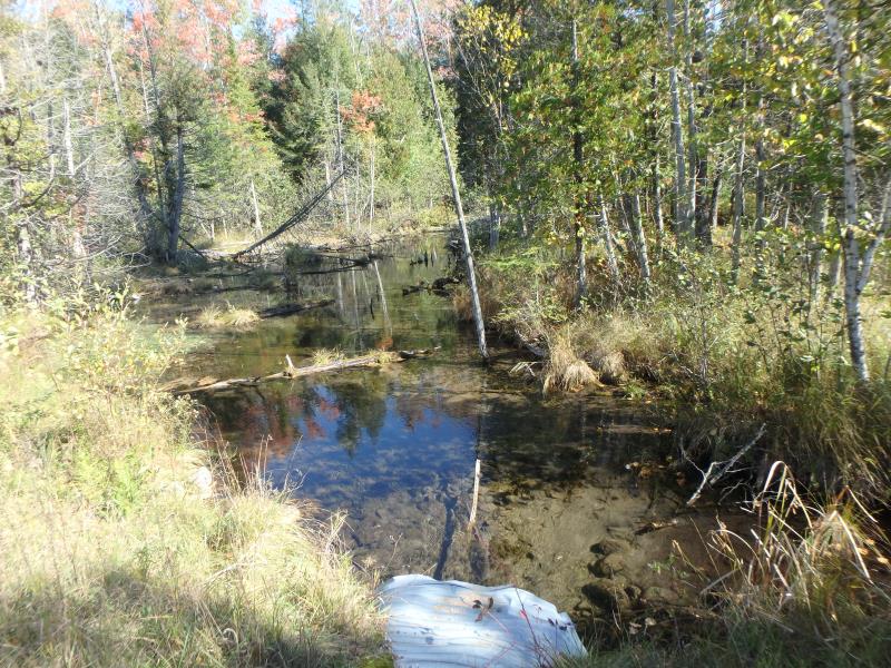
Outlet
Upstream Conditions
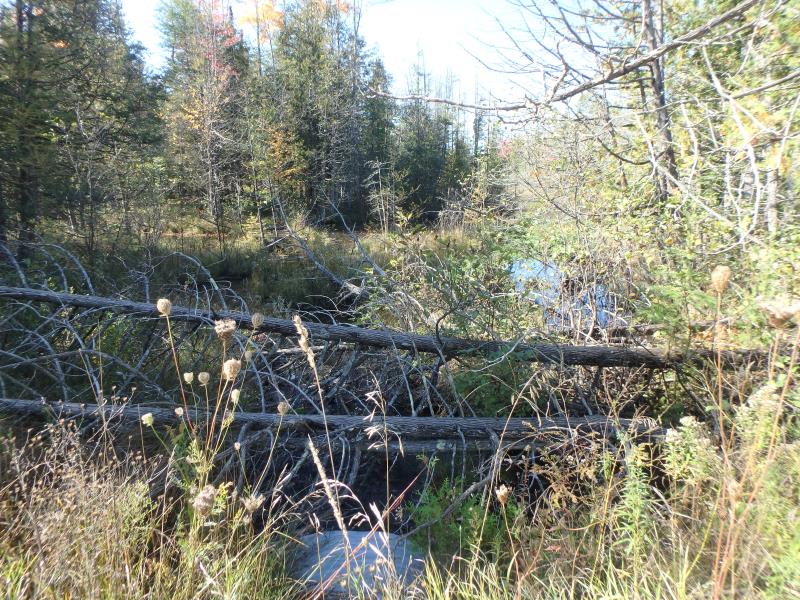
Downstream Conditions
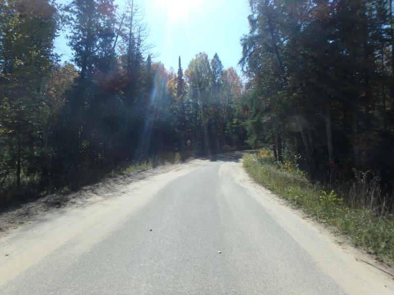
Road Approach - Left
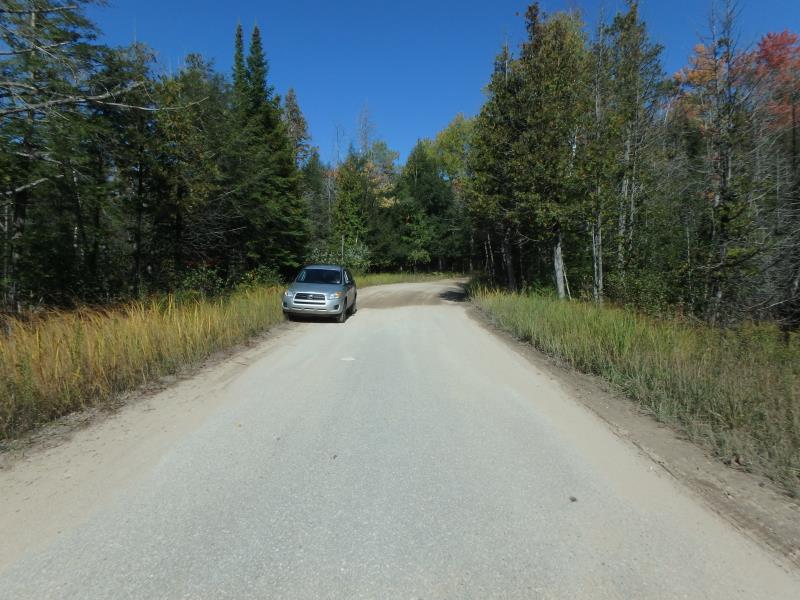
Road Approach - Right
Crossing Information
Type of Crossing: culvert(s)
Number of Structures: 1
Structure Shape: Ellipse
Inlet Type: Projecting
Outlet Type: At Stream Grade
Structure Material: Metal
Structure Substrate: Mixture
General Conditions: Fair
Structure Interior: corrugated
Dimensions of Structure: Length 44.5 ft.
, Width 4.5 ft.
, Height 2.6 ft.
Structure Inlet
Water Depth: 1.2 ft.
Embedded Depth of Structure: 0.1 ft.
Water Velocity*: 0.4 ft./sec.
Structure Outlet
Water Depth: 0.7 ft.
Embedded Depth of Structure: 0 ft.
Water Velocity*: 1 ft./sec.
*Water Velocities were measured 0.5 ft. below Surface
(with Meter)
Stream Information
Stream Flow: Less than Bankfull
Riffle Information
Water Depth: 0.6 ft.
Bankfull Width: 41 ft.
Wetted Width: 35 ft.
Water Velocity: 0.3 ft./sec.
(Measured with Meter)
Dominant Substrate: Organics
Road Information
Paved
County Road
Road Condition: Fair
Road Width at Culvert: 19.5 ft.
Location of Low Point: Other
Runoff Path: Roadway
Embankments
Upstream
Fill Depth: 2.5 ft.
Slope: More than 1:2
Downstream
Fill Depth: 2.5 ft.
Slope: More than 1:2
Approaches
Left Approach
Length: 50 ft.
Slope: Less Than 1%
Vegetation: Heavy
LS Factor: 0.05
Erosion: 0.0016 tons/year
Right Approach
Length: 120 ft.
Slope: 1% to 5%
Vegetation: Heavy
LS Factor: 0.388
Erosion: 0.03 tons/year
Erosion Information
Total Erosion at Crossing: 0.0316 tons/year
Summary Information
Fish Passability 0.9
�