Road Stream Crossing Site GTBAY_S943
Boardman River Watershed, East Creek
Mayfield Rd
Paradise Twp,
Grand Traverse County
Information collected by:
Site Location
GPS Coordinates: 44.627563
, -85.504472
T26N
R10W
Sec 27
Owned by Private
Fish Passability 1
Total Erosion: 0.0258 tons/year
Severity: Minor
Year Inventoried: 2020
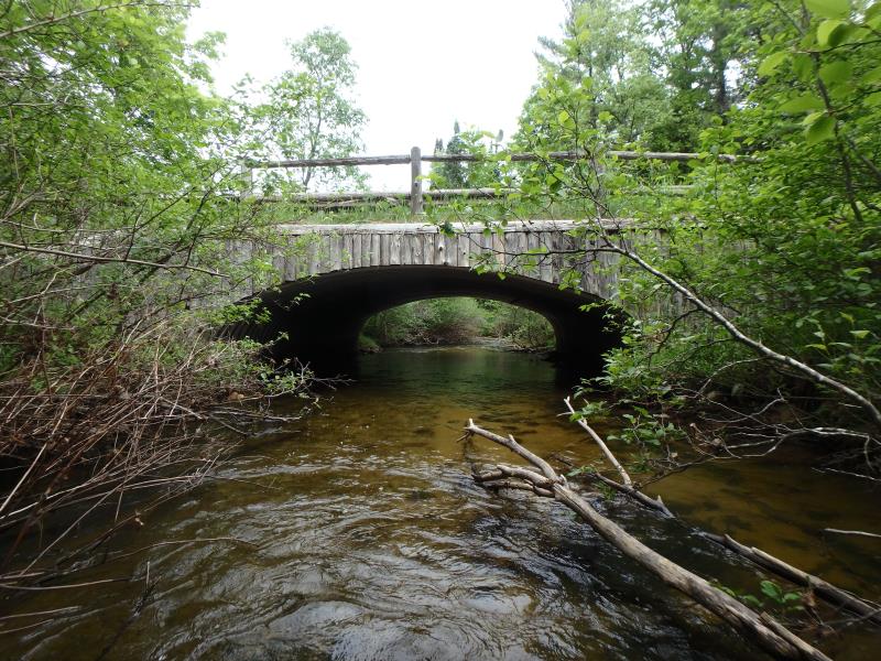
Inlet
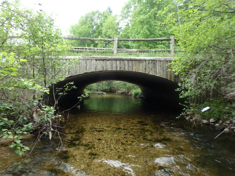
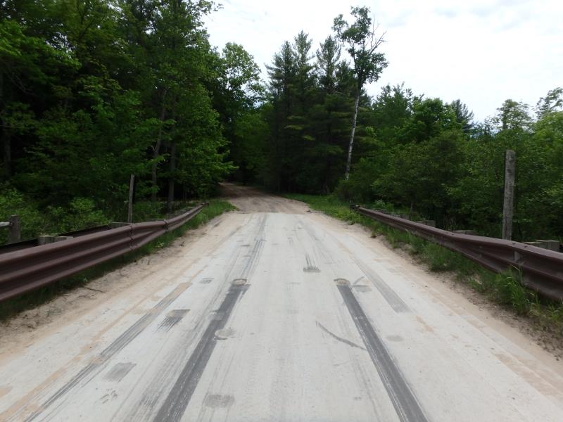
Outlet
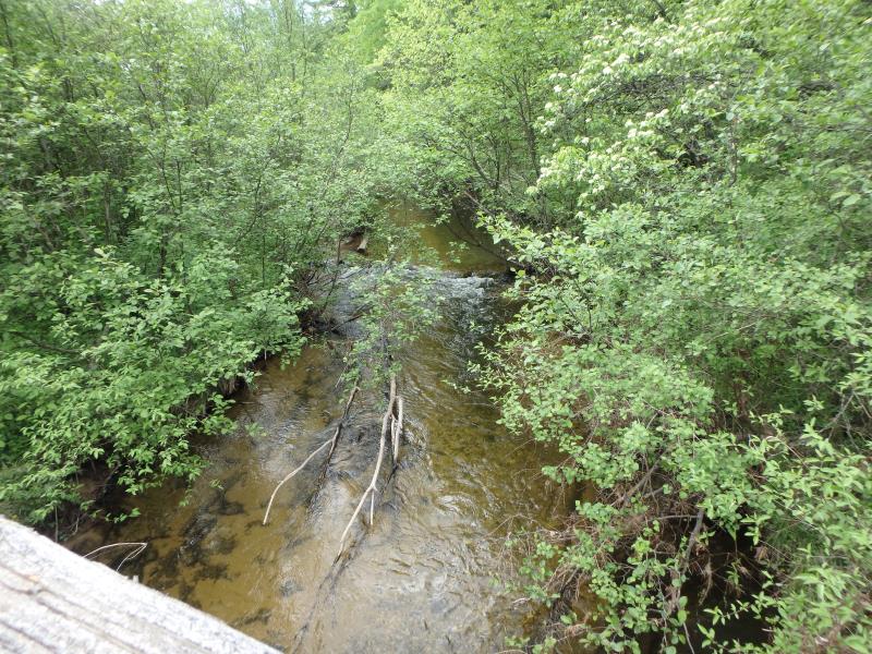
Upstream Conditions
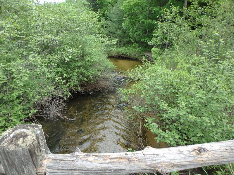
Downstream Conditions
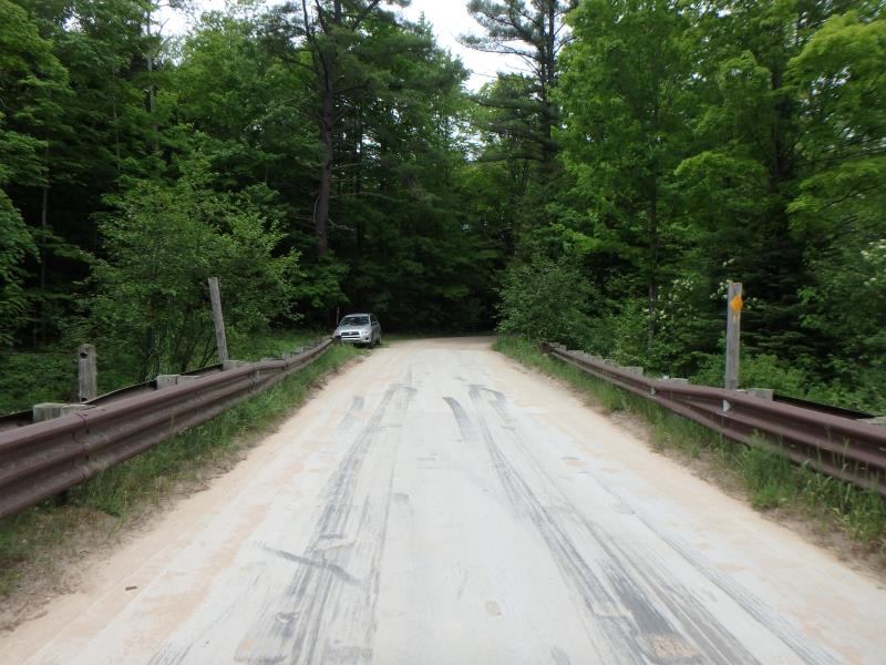
Road Approach - Left
Road Approach - Right
Crossing Information
Type of Crossing: culvert(s)
Structure Shape: Open Bottom Arch
Inlet Type: Wingwall 30-70 Degree
Outlet Type: At Stream Grade
Structure Material: Metal
Structure Substrate: Sand
General Conditions: Good
Structure Interior: corrugated
Dimensions of Structure: Length 32 ft.
, Width 20 ft.
, Height 7 ft.
Structure Inlet
Water Depth: 1.4 ft.
Embedded Depth of Structure: 0 ft.
Water Velocity*: 1.8 ft./sec.
Structure Outlet
Water Depth: 1.1 ft.
Embedded Depth of Structure: 0 ft.
Water Velocity*: 2.5 ft./sec.
*Water Velocities were measured 0.7 ft. below Surface
(with Meter)
Additional Comments
Open bottom bridge, does not seem to be a fish passage issue. Maybe revisit for outlet velocity check
Stream Information
Stream Flow: Less than 1/2 Bankfull
Riffle Information
Water Depth: 1 ft.
Bankfull Width: 24.5 ft.
Wetted Width: 22.5 ft.
Water Velocity: 1.8 ft./sec.
(Measured with Meter)
Dominant Substrate: Sand
Road Information
Sand
County Road
Road Condition: Poor
Road Width at Culvert: 17 ft.
Location of Low Point: Other
Runoff Path: Ditch
Embankments
Upstream
Fill Depth: 2.5 ft.
Slope: Vertical
Downstream
Fill Depth: 2.5 ft.
Slope: Vertical
Approaches
Left Approach
Length: 60 ft.
Slope: Less Than 1%
Vegetation: Heavy
LS Factor: 0.05
Erosion: 0.014 tons/year
Right Approach
Length: 50 ft.
Slope: Less Than 1%
Vegetation: Heavy
LS Factor: 0.05
Erosion: 0.0117 tons/year
Erosion Information
Total Erosion at Crossing: 0.0258 tons/year
Summary Information
Fish Passability 1
�