Road Stream Crossing Site GTBAY_S945
Boardman River Watershed, Swainston Creek
E Blair Town Hall Rd
Paradise Twp,
Grand Traverse County
Information collected by:
Site Location
GPS Coordinates: 44.62787
, -85.53282
T26N
R10W
Sec 02
Owned by Private
Fish Passability 1
Total Erosion: 0.119 tons/year
Severity: Minor
Year Inventoried: 2020
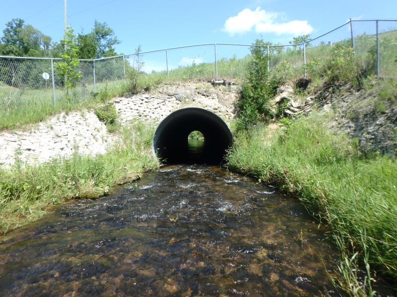
Inlet
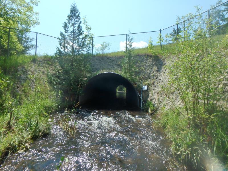
Outlet
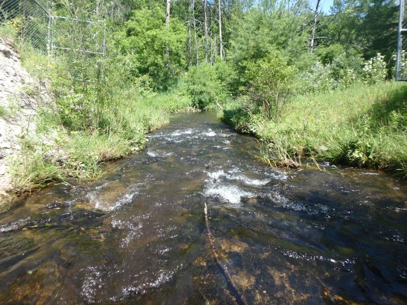
Upstream Conditions
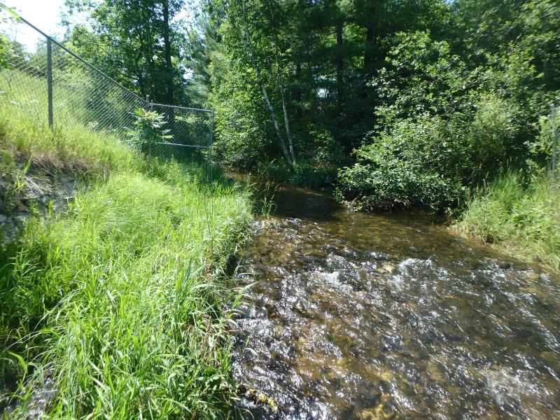
Downstream Conditions
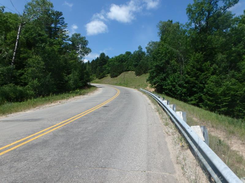
Road Approach - Left
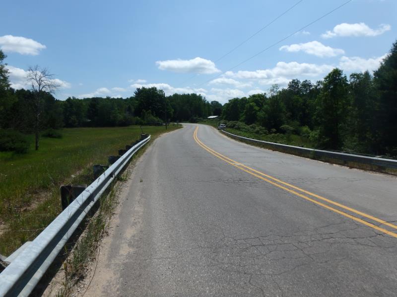
Road Approach - Right
Crossing Information
Type of Crossing: culvert(s)
Structure Shape: Round
Inlet Type: Projecting
Outlet Type: At Stream Grade
Structure Material: Metal
Structure Substrate: Mixture
General Conditions: Good
Structure Interior: corrugated
Dimensions of Structure: Length 156 ft.
, Width 12 ft.
, Height 12 ft.
Structure Inlet
Water Depth: 1.1 ft.
Embedded Depth of Structure: 2.5 ft.
Water Velocity*: 2.1 ft./sec.
Structure Outlet
Water Depth: 1.4 ft.
Embedded Depth of Structure: 3.8 ft.
Water Velocity*: 1.4 ft./sec.
*Water Velocities were measured 0.7 ft. below Surface
(with Meter)
Additional Comments
Riffle velocity exceed structure velocity, structure not posing fish passage issue.
Stream Information
Stream Flow: Less than Bankfull
Riffle Information
Water Depth: 0.9 ft.
Bankfull Width: 20 ft.
Wetted Width: 15.5 ft.
Water Velocity: 2.2 ft./sec.
(Measured with Meter)
Dominant Substrate: Gravel
Road Information
Paved
County Road
Road Condition: Good
Road Width at Culvert: 32 ft.
Location of Low Point: Other
Runoff Path: Ditch
Embankments
Upstream
Fill Depth: 20 ft.
Slope: More than 1:2
Downstream
Fill Depth: 20 ft.
Slope: More than 1:2
Approaches
Left Approach
Length: 50 ft.
Slope: Less Than 1%
Vegetation: Heavy
LS Factor: 0.05
Erosion: 0.0026 tons/year
Right Approach
Length: 250 ft.
Slope: 1% to 5%
Vegetation: Heavy
LS Factor: 0.44
Erosion: 0.1164 tons/year
Erosion Information
Total Erosion at Crossing: 0.119 tons/year
Summary Information
Fish Passability 1
�