Road Stream Crossing Site GTBAY_TC001
Tobeco Creek Watershed, Tobeco Creek
US-31
Acme Twp,
Grand Traverse County
Information collected by:
Site Location
GPS Coordinates: 44.85391
, -85.432684
T28N
R9W
Sec 05
Owned by State
Fish Passability 1
Total Erosion: 0.694 tons/year
Severity: Minor
Year Inventoried: 2020
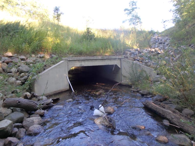
Inlet
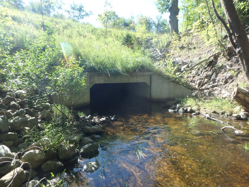
Outlet
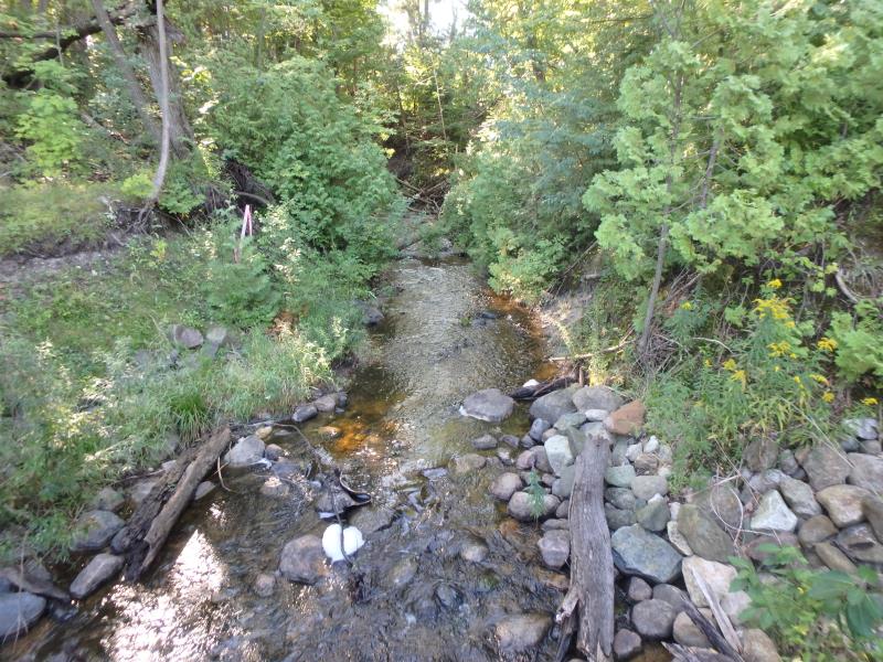
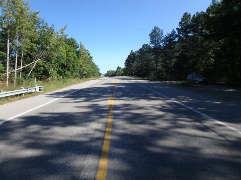
Upstream Conditions
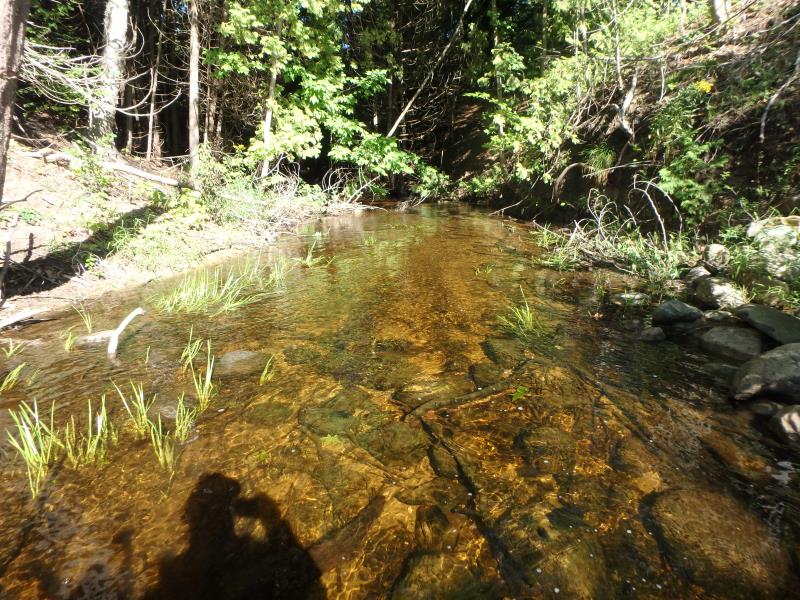
Downstream Conditions
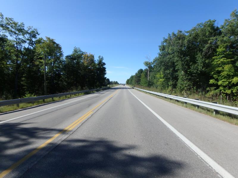
Road Approach - Left
Road Approach - Right
Crossing Information
Type of Crossing: culvert(s)
Structure Shape: Open Bottom Square/Rectangle
Inlet Type: Wingwall 30-70 Degree
Outlet Type: At Stream Grade
Structure Material: Concrete
Structure Substrate: Rock
General Conditions: Good
Structure Interior: smooth
Dimensions of Structure: Length 175 ft.
, Width 12 ft.
, Height 5.7 ft.
Structure Inlet
Water Depth: 0.7 ft.
Embedded Depth of Structure: 0 ft.
Water Velocity*: 1 ft./sec.
Structure Outlet
Water Depth: 1.2 ft.
Embedded Depth of Structure: 0 ft.
Water Velocity*: 1.2 ft./sec.
*Water Velocities were measured 0.4 ft. below Surface
(with Meter)
Additional Comments
Change passability score to 1, ample water depth and acceptable velocities. Change severity to minor, not sure why this is flagged as a passability issue
Stream Information
Stream Flow: Less than 1/2 Bankfull
Riffle Information
Water Depth: 0.6 ft.
Bankfull Width: 16.6 ft.
Wetted Width: 14.7 ft.
Water Velocity: 2 ft./sec.
(Measured with Meter)
Dominant Substrate: Cobble
Road Information
Paved
Federal Road
Road Condition: Good
Road Width at Culvert: 41 ft.
Location of Low Point: At Stream
Runoff Path: Ditch
Embankments
Upstream
Fill Depth: 21 ft.
Slope: 1:2
Downstream
Fill Depth: 22 ft.
Slope: 1:2
Approaches
Left Approach
Length: 500 ft.
Slope: 1% to 5%
Vegetation: Partial
LS Factor: 0.64
Erosion: 0.4337 tons/year
Right Approach
Length: 400 ft.
Slope: 1% to 5%
Vegetation: Heavy
LS Factor: 0.48
Erosion: 0.2602 tons/year
Erosion Information
Total Erosion at Crossing: 0.694 tons/year
Summary Information
Fish Passability 1
These non-native species were observerd at this site: Spotted Knapweed
�