Road Stream Crossing Site GTBAY_U009
East Bay Shoreline & Tributaries Watershed, Unnamed
Winter Ridge Drive
East Bay Twp,
Grand Traverse County
Information collected by:
Site Location
GPS Coordinates: 44.731432
, -85.535678
T27N
R10W
Sec 16
Owned by Private
Fish Passability 1
Total Erosion: 1.8978 tons/year
Severity: Moderate
Year Inventoried: 2020
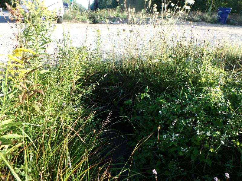
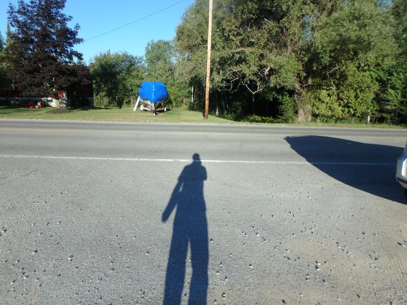
Inlet
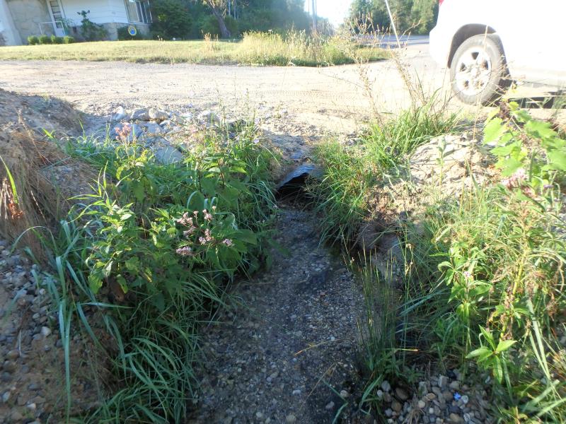
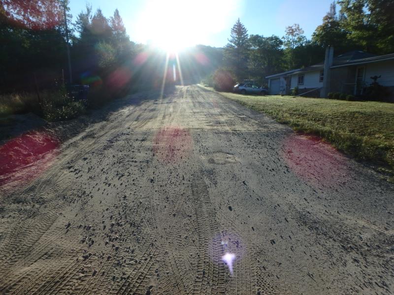
Outlet
Upstream Conditions
Downstream Conditions
Road Approach - Left
Road Approach - Right
Crossing Information
Type of Crossing: culvert(s)
Structure Shape: Round
Inlet Type: Projecting
Outlet Type: At Stream Grade
Structure Material: Metal
Structure Substrate: Gravel
General Conditions: Poor
Structure Interior: corrugated
Dimensions of Structure: Length 29 ft.
, Width 1.8 ft.
, Height 1.8 ft.
Structure Inlet
Water Depth: 0.9 ft.
Embedded Depth of Structure: 0.6 ft.
Water Velocity*: 0.4 ft./sec.
Structure Outlet
Water Depth: 0.4 ft.
Embedded Depth of Structure: 0.8 ft.
Water Velocity*: 0.7 ft./sec.
*Water Velocities were measured 0.5 ft. below Surface
(with Meter)
Additional Comments
Change passability score to 1, ample water depth and structure velocities within range, not a fish barrier. Erosion may still be an area of concern at this site.
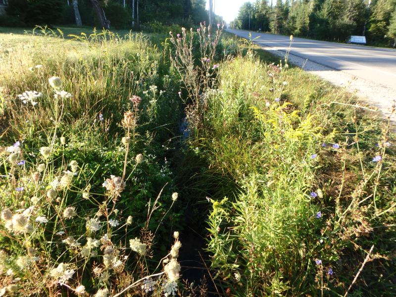
Stream Information
Stream Flow: Less than 1/2 Bankfull
Riffle Information
Water Depth: 0.3 ft.
Bankfull Width: 2.1 ft.
Wetted Width: 1.9 ft.
Water Velocity: 1 ft./sec.
(Measured with Meter)
Dominant Substrate: Sand
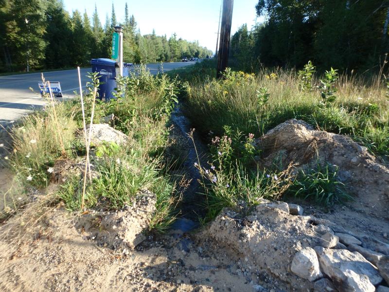
Road Information
Gravel
Private Road
Road Condition: Poor
Road Width at Culvert: 20 ft.
Location of Low Point: Other
Runoff Path: Ditch
Embankments
Upstream
Fill Depth: 1 ft.
Slope: More than 1:2
Downstream
Fill Depth: 0.5 ft.
Slope: More than 1:2
Approaches
Left Approach
Length: 10 ft.
Slope: Less Than 1%
Vegetation: None
LS Factor: 0.05
Erosion: 0.0028 tons/year
Right Approach
Length: 500 ft.
Slope: 1% to 5%
Vegetation: Partial
LS Factor: 0.64
Erosion: 1.7631 tons/year
Erosion Information
Total Erosion at Crossing: 1.8978 tons/year
Extent of Erosion: Severe
Notes: Downstream embankment is erosion path from road. There are large sand and gravel deposits.
Location of Erosion | Erosion Dimensions | Eroded Material | Material Eroded | Total Erosion | ||
facing downstream | Length | Width | Depth | Reaching Stream? | (tons/year) | |
Right Downstream Embankment |
20 ft. |
3 ft. |
0.3 ft. |
yes |
Sand |
0.132 |
Summary Information
Fish Passability 1
Erosion is an area of concern for this site.
Erosion from road is depositing large amounts of sand and gravel into stream
A future visit to this site is recommended. Monitor/address and fix erosion issue
These non-native species were observerd at this site: Purple Loosestrife, Queen Anne's Lace, Spotted Knapweed, Autumn Olive, Bull Thistle
�