Road Stream Crossing Site GTBAY_YC001
Yuba Creek Watershed, Yuba Creek
Yuba Creek Carpool Lot off US-31
Acme Twp,
Grand Traverse County
Information collected by:
Site Location
GPS Coordinates: 44.824447
, -85.458455
T28N
R10W
Sec 13
Owned by Private
Fish Passability 0.5
Total Erosion: 0.1405 tons/year
Severity: Moderate
Year Inventoried: 2020
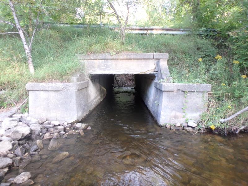
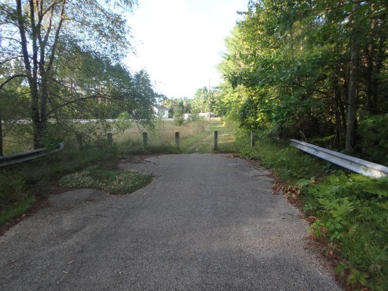
Inlet
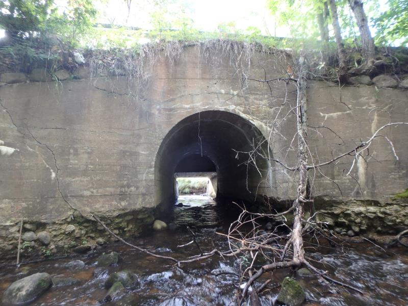
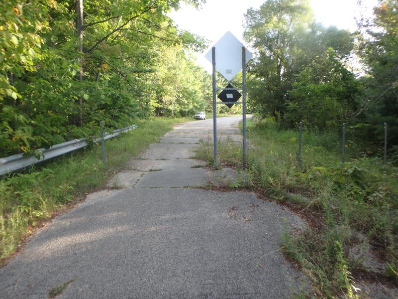
Outlet
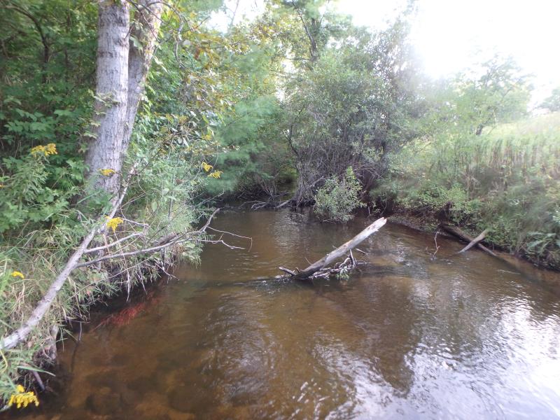
Upstream Conditions
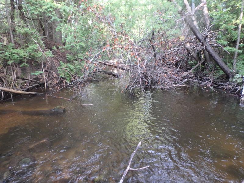
Downstream Conditions
Road Approach - Left
Road Approach - Right
Crossing Information
Type of Crossing: culvert(s)
Structure Shape: Open Bottom Square/Rectangle
Inlet Type: Headwall
Outlet Type: Cascade over Riprap
Structure Material: Concrete
Structure Substrate: Rock
General Conditions: Poor
Structure Interior: smooth
Dimensions of Structure: Length 49 ft.
, Width 7 ft.
, Height 6.5 ft.
Structure Inlet
Water Depth: 1.9 ft.
Embedded Depth of Structure: 0 ft.
Water Velocity*: 1.6 ft./sec.
Structure Outlet
Water Depth: 0.8 ft.
Embedded Depth of Structure: 0 ft.
Water Velocity*: 2.9 ft./sec.
*Water Velocities were measured 1.1 ft. below Surface
(with Meter)
Stream Information
Stream Flow: Less than 1/2 Bankfull
Riffle Information
Water Depth: 1.2 ft.
Bankfull Width: 18.5 ft.
Wetted Width: 16.9 ft.
Water Velocity: 0.7 ft./sec.
(Measured with Meter)
Dominant Substrate: Gravel
Road Information
Paved
Other Road
Road Condition: Poor
Road Width at Culvert: 20 ft.
Location of Low Point: At Stream
Runoff Path: Ditch
Embankments
Upstream
Fill Depth: 7 ft.
Slope: 1:1.5
Downstream
Fill Depth: 4 ft.
Slope: Vertical
Approaches
Left Approach
Length: 200 ft.
Slope: 1% to 5%
Vegetation: Heavy
LS Factor: 0.43
Erosion: 0.0569 tons/year
Right Approach
Length: 280 ft.
Slope: 1% to 5%
Vegetation: Heavy
LS Factor: 0.452
Erosion: 0.0837 tons/year
Erosion Information
Total Erosion at Crossing: 0.1405 tons/year
Summary Information
Fish Passability 0.5
These non-native species were observerd at this site: Spotted Knapweed, Queen Anne's Lace, Tree of Heaven
�