Road Stream Crossing Site GTBAY_YC003
Yuba Creek Watershed, Yuba Creek
Yuba Road
Acme Twp,
Grand Traverse County
Information collected by:
Site Location
GPS Coordinates: 44.819691
, -85.456118
T28N
R10W
Sec 13
Owned by State
Fish Passability 0.9
Total Erosion: 0.2149 tons/year
Severity: Minor
Year Inventoried: 2020
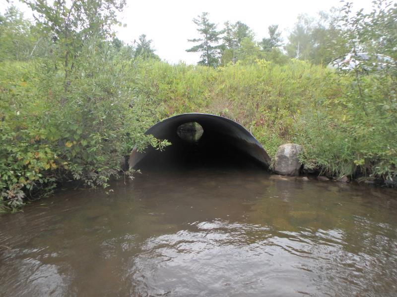
Inlet
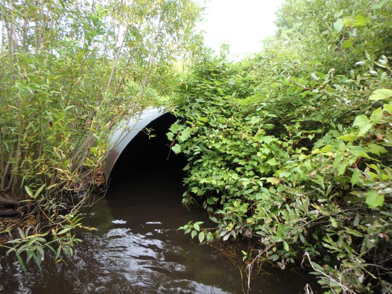
Outlet
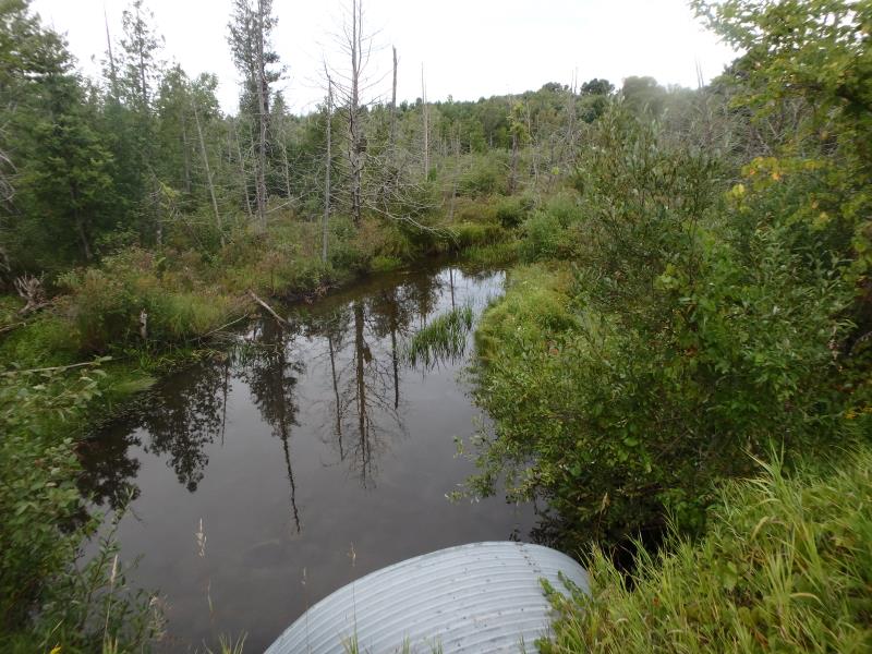
Upstream Conditions
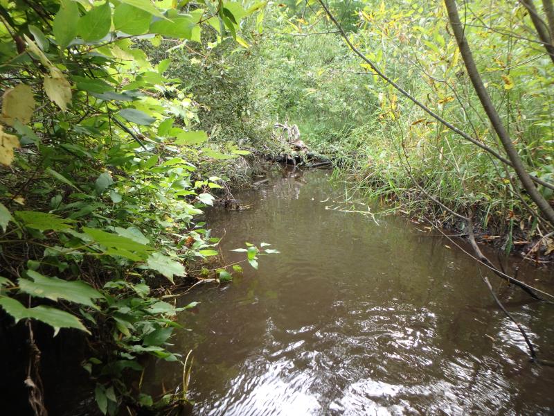
Downstream Conditions
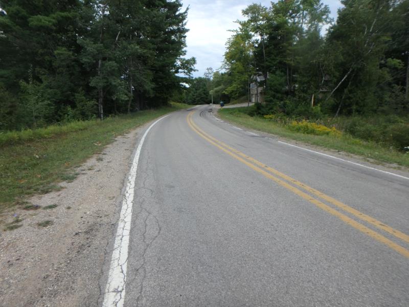
Road Approach - Left
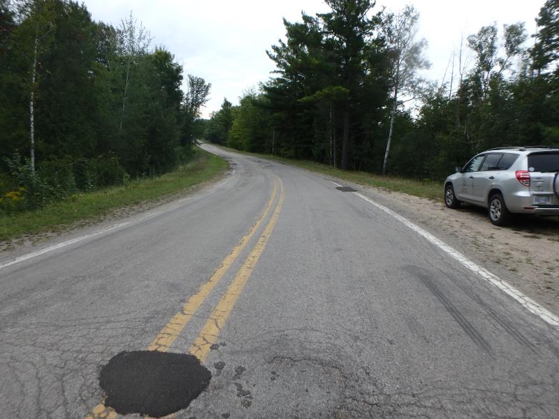
Road Approach - Right
Crossing Information
Type of Crossing: culvert(s)
Structure Shape: Pipe Arch
Inlet Type: Projecting
Outlet Type: At Stream Grade
Structure Material: Metal
Structure Substrate: Rock
General Conditions: Good
Structure Interior: corrugated
Dimensions of Structure: Length 75 ft.
, Width 9.8 ft.
, Height 5.5 ft.
Structure Inlet
Water Depth: 1.5 ft.
Embedded Depth of Structure: 0 ft.
Water Velocity*: 0.7 ft./sec.
Structure Outlet
Water Depth: 1.5 ft.
Embedded Depth of Structure: 0 ft.
Water Velocity*: 0.5 ft./sec.
*Water Velocities were measured 0.9 ft. below Surface
(with Meter)
Stream Information
Stream Flow: Less than 1/2 Bankfull
Riffle Information
Water Depth: 1.2 ft.
Bankfull Width: 26.3 ft.
Wetted Width: 23.5 ft.
Water Velocity: 0.7 ft./sec.
(Measured with Meter)
Dominant Substrate: Sand
Road Information
Paved
County Road
Road Condition: Fair
Road Width at Culvert: 22 ft.
Location of Low Point: At Stream
Runoff Path: Ditch
Embankments
Upstream
Fill Depth: 5.5 ft.
Slope: 1:2
Downstream
Fill Depth: 2.9 ft.
Slope: More than 1:2
Approaches
Left Approach
Length: 450 ft.
Slope: 1% to 5%
Vegetation: Partial
LS Factor: 0.62
Erosion: 0.2029 tons/year
Right Approach
Length: 50 ft.
Slope: 1% to 5%
Vegetation: Heavy
LS Factor: 0.33
Erosion: 0.012 tons/year
Erosion Information
Total Erosion at Crossing: 0.2149 tons/year
Summary Information
Fish Passability 0.9
These non-native species were observerd at this site: Autumn Olive, Spotted Knapweed
�