Road Stream Crossing Site GTBAY_YC005
Yuba Creek Watershed, Yuba Creek
Private Driveway to Everflowing Waters Camp
Acme Twp,
Grand Traverse County
Information collected by:
Site Location
GPS Coordinates: 44.788092
, -85.466122
T28N
R10W
Sec 25
Owned by Private
Fish Passability 0.9
Total Erosion: 0.0107 tons/year
Severity: Minor
Year Inventoried: 2020
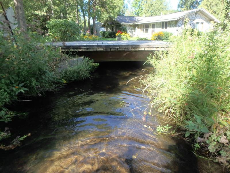
Inlet
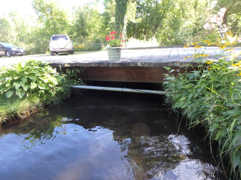
Outlet
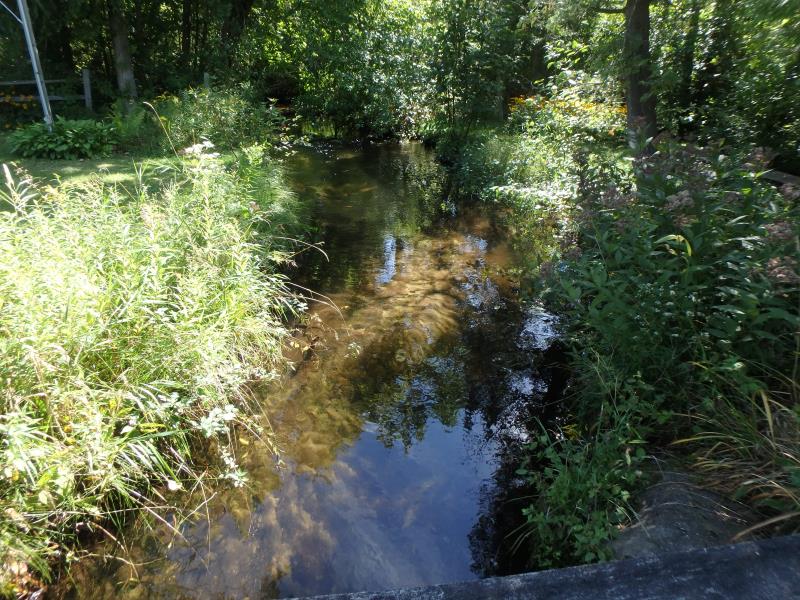
Upstream Conditions
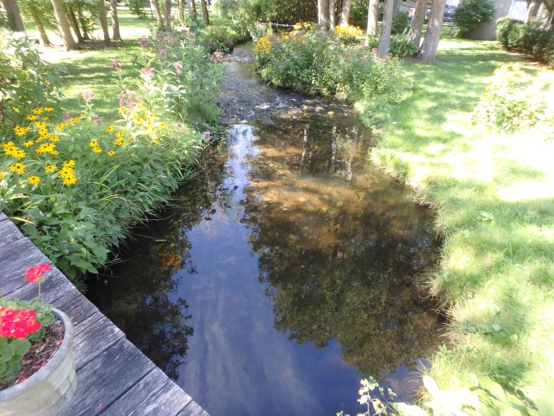
Downstream Conditions
Crossing Information
Type of Crossing: Bridge
Structure Shape: Open Bottom Square/Rectangle
Inlet Type: Headwall
Outlet Type: At Stream Grade
Structure Material: Wood
Structure Substrate: Sand
General Conditions: Good
Structure Interior: smooth
Dimensions of Structure: Length 16 ft.
, Width 16.5 ft.
, Height 2.7 ft.
Structure Inlet
Water Depth: 1.6 ft.
Embedded Depth of Structure: 0 ft.
Water Velocity*: 0.5 ft./sec.
Structure Outlet
Water Depth: 1.6 ft.
Embedded Depth of Structure: 0 ft.
Water Velocity*: 0.4 ft./sec.
*Water Velocities were measured 0.9 ft. below Surface
(with Meter)
Stream Information
Stream Flow: Less than 1/2 Bankfull
Riffle Information
Water Depth: 0.7 ft.
Bankfull Width: 13.7 ft.
Wetted Width: 12.1 ft.
Water Velocity: 0.8 ft./sec.
(Measured with Meter)
Dominant Substrate: Sand
Road Information
Gravel
Private Road
Road Condition: Good
Road Width at Culvert: 15.5 ft.
Location of Low Point: Other
Runoff Path: Ditch
Fill Depth: 0 ft.
Slope: Vertical
Fill Depth: 0 ft.
Slope: Vertical
Approaches
Left Approach
Length: 25 ft.
Slope: Less Than 1%
Vegetation: Partial
LS Factor: 0.05
Erosion: 0.0053 tons/year
Right Approach
Length: 25 ft.
Slope: Less Than 1%
Vegetation: Partial
LS Factor: 0.05
Erosion: 0.0053 tons/year
Erosion Information
Total Erosion at Crossing: 0.0107 tons/year
Summary Information
Fish Passability 0.9
�