Road Stream Crossing Site GTBAY_TC009
Tobeco Creek Watershed, Tobeco Creek Tributary
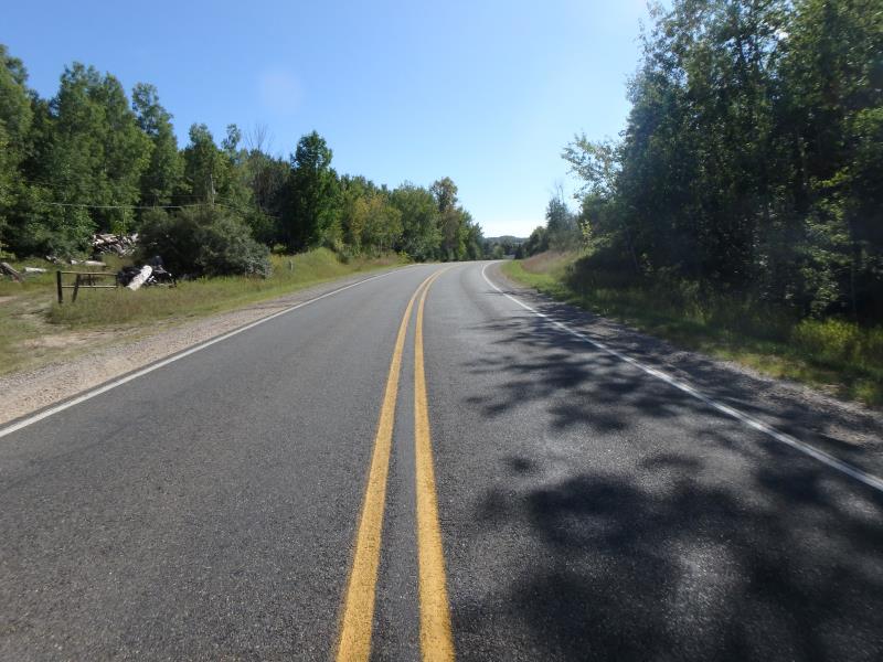
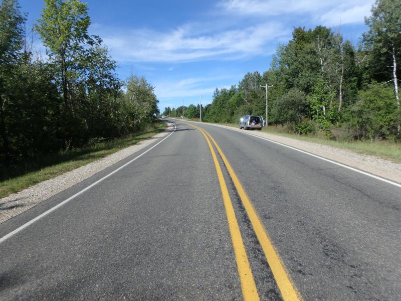
Elk Lake Rd
Whitewater Twp,
Grand Traverse County
Information collected by:
Site Location
GPS Coordinates: 44.794537
, -85.404376
T28N
R9W
Sec 28
Owned by Private
Fish Passability 0
Perch Height: 0.1 ft.
Total Erosion: 0.2164 tons/year
Severity: Severe
Year Inventoried: 2020
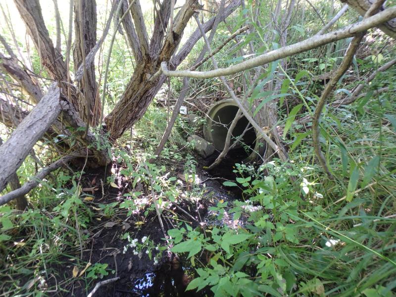
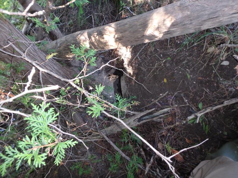
Inlet
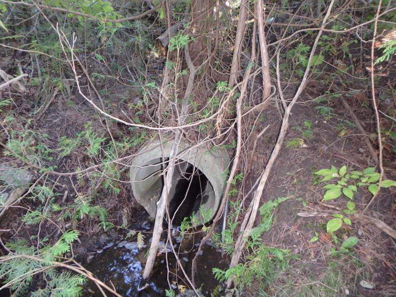
Outlet
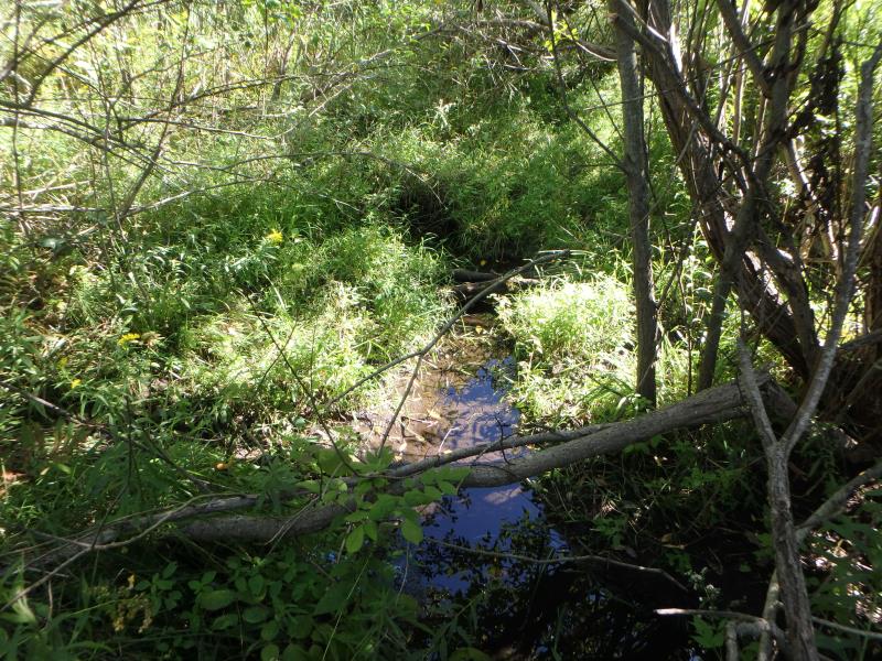
Upstream Conditions
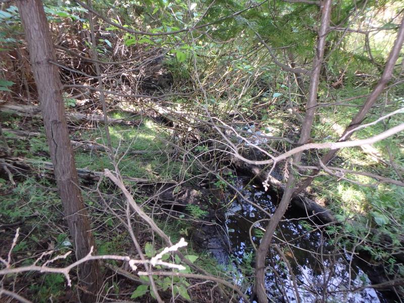
Downstream Conditions
Downstream Conditions
Road Approach - Left
Road Approach - Right
Crossing Information
Type of Crossing: culvert(s)
Structure Shape: Round
Inlet Type: Projecting
Outlet Type: Freefall into Pool
Structure Material: Concrete
Structure Substrate: None
General Conditions: Fair
Structure Interior: smooth
Dimensions of Structure: Length 105 ft.
, Width 2 ft.
, Height 2 ft.
Perch Height: 0.1 ft.
Structure Inlet
Water Depth: 0.1 ft.
Embedded Depth of Structure: 0 ft.
Water Velocity*: 0.5 ft./sec.
Structure Outlet
Water Depth: 0.1 ft.
Embedded Depth of Structure: 0 ft.
Water Velocity*: 0.9 ft./sec.
*Water Velocities were measured at the Surface
(with Meter)
Stream Information
Stream Flow: Less than 1/2 Bankfull
Riffle Information
Water Depth: 0.2 ft.
Bankfull Width: 2.6 ft.
Wetted Width: 1.7 ft.
Water Velocity: 0.1 ft./sec.
(Measured with Meter)
Dominant Substrate: Organics
Road Information
Paved
County Road
Road Condition: Good
Road Width at Culvert: 25 ft.
Location of Low Point: Other
Runoff Path: Ditch
Embankments
Upstream
Fill Depth: 10.2 ft.
Slope: More than 1:2
Downstream
Fill Depth: 11.9 ft.
Slope: More than 1:2
Approaches
Left Approach
Length: 50 ft.
Slope: Less Than 1%
Vegetation: Heavy
LS Factor: 0.05
Erosion: 0.0021 tons/year
Right Approach
Length: 500 ft.
Slope: 1% to 5%
Vegetation: Heavy
LS Factor: 0.5
Erosion: 0.2066 tons/year
Erosion Information
Total Erosion at Crossing: 0.2164 tons/year
Extent of Erosion: Minor
Notes: Tree growing over culvert has pulled last section away causing material to erode at connection
Location of Erosion | Erosion Dimensions | Eroded Material | Material Eroded | Total Erosion | ||
facing downstream | Length | Width | Depth | Reaching Stream? | (tons/year) | |
Right Downstream Embankment |
4 ft. |
2 ft. |
2 ft. |
yes |
Sandy Loam |
0.0077 |
Summary Information
Fish Passability 0
These non-native species were observerd at this site: Autumn Olive, Spotted Knapweed
�