Road Stream Crossing Site GTBAY_TC014
Tobeco Creek Watershed, Tobeco Creek
Williamsburg Rd
Whitewater Twp,
Grand Traverse County
Information collected by:
Site Location
GPS Coordinates: 44.782604
, -85.404152
T28N
R9W
Sec 33
Owned by Private
Total Erosion: 0.2003 tons/year
Severity: Minor
Year Inventoried: 2020

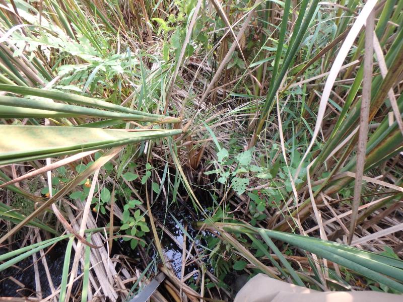
Inlet
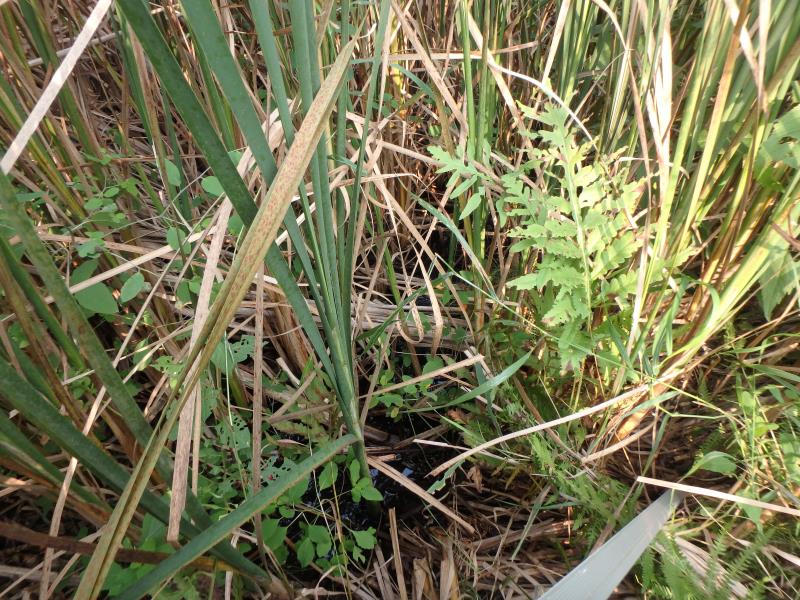
Outlet
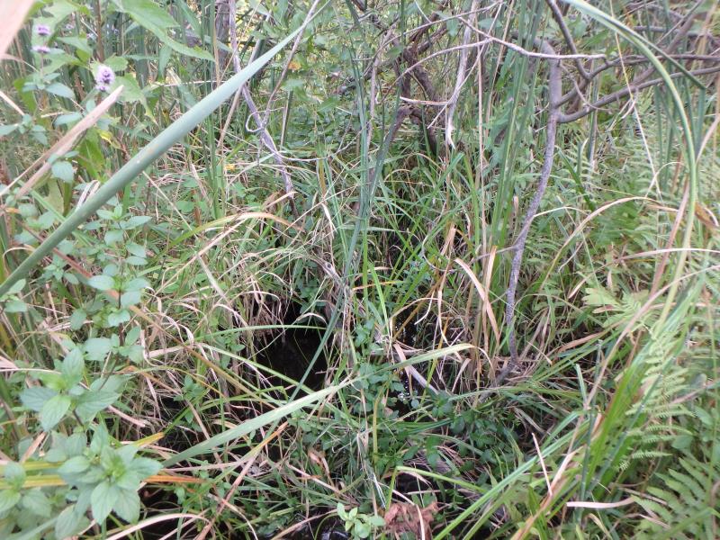
Upstream Conditions
Downstream Conditions
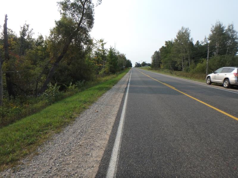
Road Approach - Left
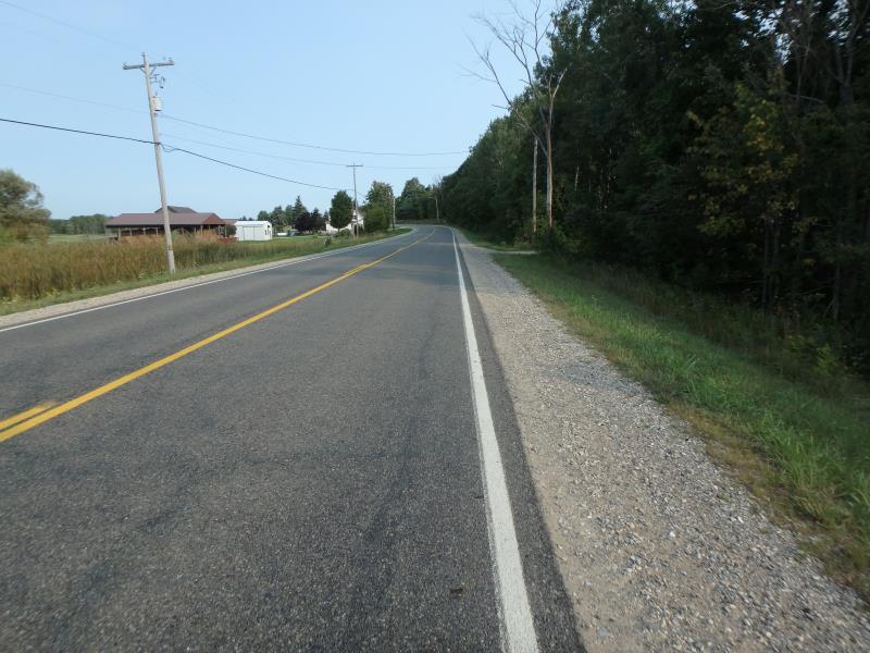
Road Approach - Right
Crossing Information
Type of Crossing: culvert(s)
Structure Shape: Round
Inlet Type: Projecting
Outlet Type: At Stream Grade
Structure Material: Concrete
Structure Substrate: Sand
General Conditions: Poor
Structure Interior: smooth
Dimensions of Structure: Length 67 ft.
, Width 2 ft.
, Height 2 ft.
Structure Inlet
Water Depth: 0.1 ft.
Embedded Depth of Structure: 0 ft.
Water Velocity*: 0 ft./sec.
Structure Outlet
Water Depth: 0.6 ft.
Embedded Depth of Structure: 1.4 ft.
Water Velocity*: 0.1 ft./sec.
*Water Velocities were measured 0.4 ft. below Surface
(with Meter)
Additional Comments
Inlet hit by car, section separated. Downstream culvert undersized, floods upstream landowner's property.
Stream Information
Stream Flow: Less than 1/2 Bankfull
Dominant Substrate: Organics
Road Information
Paved
County Road
Road Condition: Good
Road Width at Culvert: 24 ft.
Location of Low Point: Other
Runoff Path: Ditch
Embankments
Upstream
Fill Depth: 4.2 ft.
Slope: More than 1:2
Downstream
Fill Depth: 5.6 ft.
Slope: 1:1.5
Approaches
Left Approach
Length: 500 ft.
Slope: 1% to 5%
Vegetation: Heavy
LS Factor: 0.5
Erosion: 0.1983 tons/year
Right Approach
Length: 50 ft.
Slope: Less Than 1%
Vegetation: Heavy
LS Factor: 0.05
Erosion: 0.002 tons/year
Erosion Information
Total Erosion at Crossing: 0.2003 tons/year
Summary Information
Fish Passage is an area of concern for this site.
A future visit to this site is recommended. Structure is coming apart at inlet and outlet
These non-native species were observerd at this site: Spotted Knapweed
�