Road Stream Crossing Site GTBAY_YC023
Yuba Creek Watershed, Yuba Creek Tributary
Bennett Rd
Acme Twp,
Grand Traverse County
Information collected by:
Site Location
GPS Coordinates: 44.798062
, -85.460778
T28N
R10W
Sec 25
Owned by Private
Fish Passability 0
Perch Height: 0.8 ft.
Total Erosion: 0.0871 tons/year
Severity: Severe
Year Inventoried: 2020
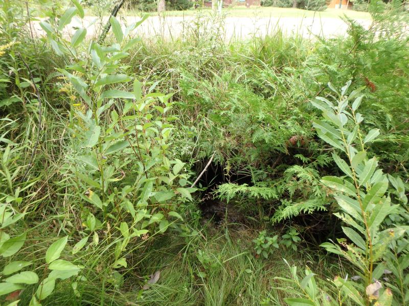
Inlet
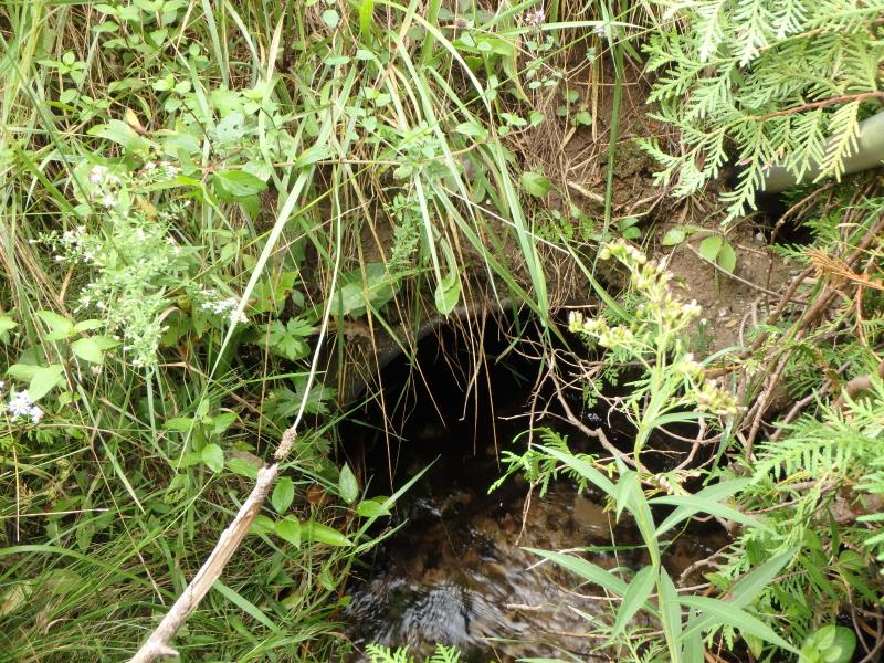
Inlet
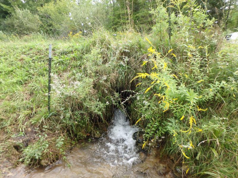
Outlet
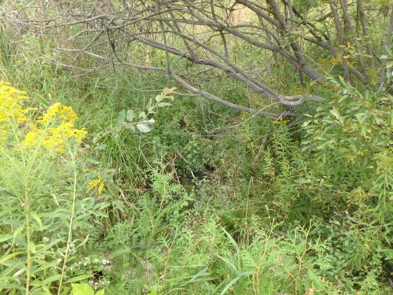
Upstream Conditions
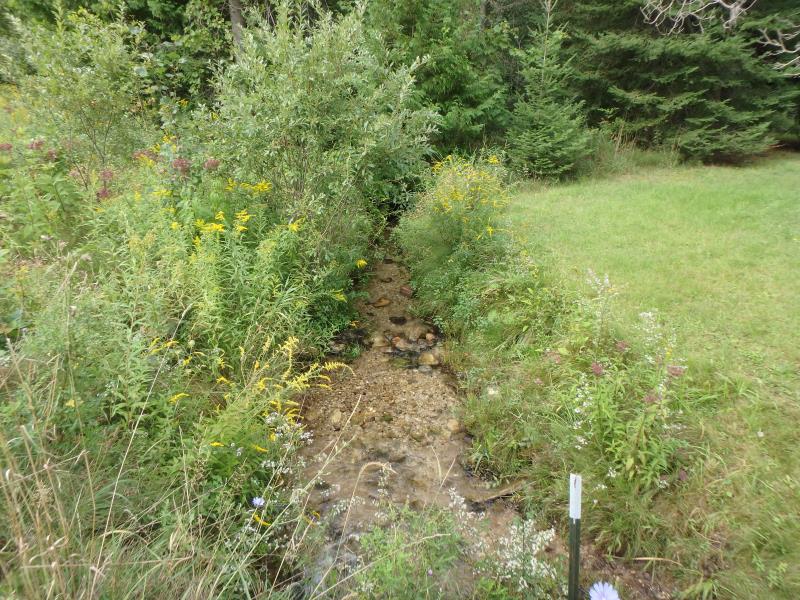
Downstream Conditions
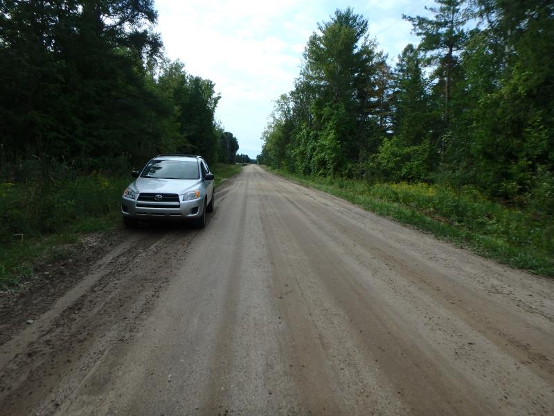
Road Approach - Left
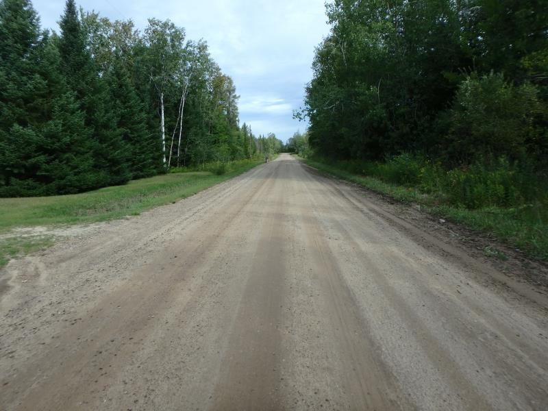
Road Approach - Right
Crossing Information
Type of Crossing: culvert(s)
Structure Shape: Round
Inlet Type: Projecting
Outlet Type: Freefall into Pool
Structure Material: Metal
Structure Substrate: None
General Conditions: Poor
Structure Interior: corrugated
Dimensions of Structure: Length 35 ft.
, Width 1.5 ft.
, Height 1.5 ft.
Perch Height: 0.8 ft.
Structure Inlet
Water Depth: 0.4 ft.
Embedded Depth of Structure: 0 ft.
Water Velocity*: 2.1 ft./sec.
Structure Outlet
Water Depth: 0.2 ft.
Embedded Depth of Structure: 0 ft.
Water Velocity*: 5.8 ft./sec.
*Water Velocities were measured 0.2 ft. below Surface
(with Meter)
Stream Information
Stream Flow: Less than 1/2 Bankfull
Scour Pool: Length 8.4 ft.
, Width 6.1 ft.
, Depth 1 ft.
Riffle Information
Water Depth: 0.3 ft.
Bankfull Width: 6.7 ft.
Wetted Width: 5.2 ft.
Water Velocity: 0.4 ft./sec.
(Measured with Meter)
Dominant Substrate: Sand
Road Information
Gravel
County Road
Road Condition: Good
Road Width at Culvert: 23 ft.
Location of Low Point: Other
Runoff Path: Ditch
Embankments
Upstream
Fill Depth: 2.1 ft.
Slope: Vertical
Downstream
Fill Depth: 2.5 ft.
Slope: Vertical
Approaches
Left Approach
Length: 250 ft.
Slope: Less Than 1%
Vegetation: Heavy
LS Factor: 0.05
Erosion: 0.0792 tons/year
Right Approach
Length: 25 ft.
Slope: Less Than 1%
Vegetation: Partial
LS Factor: 0.05
Erosion: 0.0079 tons/year
Erosion Information
Total Erosion at Crossing: 0.0871 tons/year
Summary Information
Fish Passability 0
These non-native species were observerd at this site: Spotted Knapweed, Thistle, Reed Canary Grass, Queen Anne's Lace
�