Road Stream Crossing Site GTBAY_YC024
Yuba Creek Watershed, Yuba Creek
M-72
Acme Twp,
Grand Traverse County
Information collected by:
Site Location
GPS Coordinates: 44.772663
, -85.468855
T28N
R10W
Sec 36
Owned by Private
Total Erosion: 0.4424 tons/year
Severity: Minor
Year Inventoried: 2020
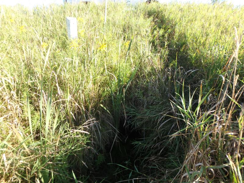
Inlet
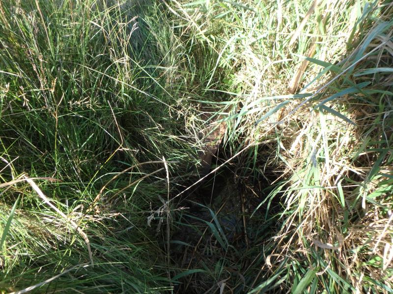
Outlet
Upstream Conditions
Downstream Conditions
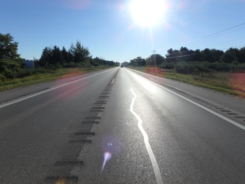
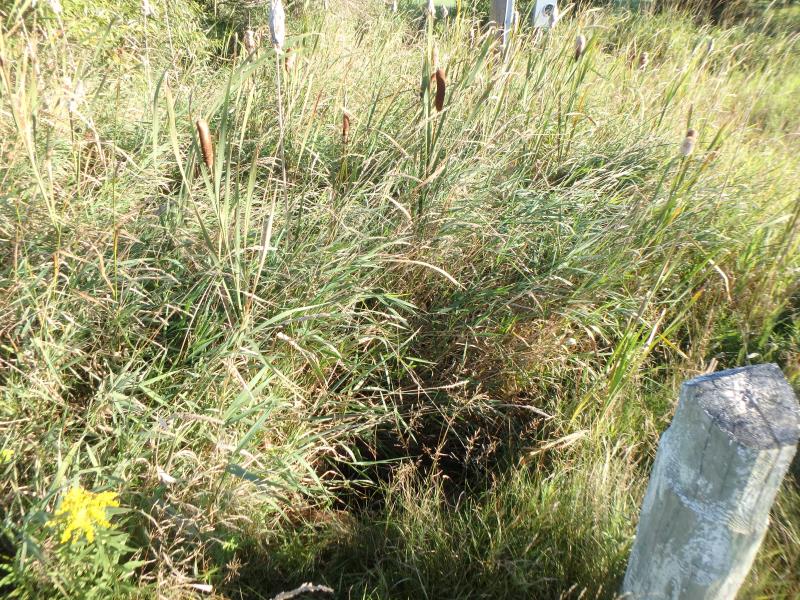
Road Approach - Left
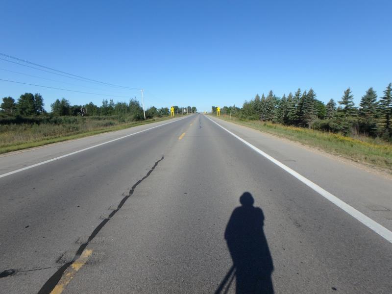
Road Approach - Right
Crossing Information
Type of Crossing: culvert(s)
Structure Shape: Round
Inlet Type: Projecting
Outlet Type: At Stream Grade
Structure Material: Metal
Structure Substrate: Mixture
General Conditions: Fair
Structure Interior: corrugated
Dimensions of Structure: Length 96 ft.
, Width 2 ft.
, Height 2 ft.
Structure Inlet
Water Depth: 0.1 ft.
Embedded Depth of Structure: 0.3 ft.
Water Velocity*: 0 ft./sec.
Structure Outlet
Water Depth: 0.3 ft.
Embedded Depth of Structure: 0.8 ft.
Water Velocity*: 0 ft./sec.
*Water Velocities were measured at the Surface
(with Float Test)
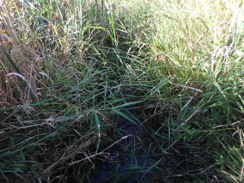
Stream Information
Stream Flow: Less than 1/2 Bankfull
Water Velocity: 0 ft./sec.
(Measured with Float Test)
Dominant Substrate: Organics
Road Information
Paved
State Road
Road Condition: Good
Road Width at Culvert: 41.5 ft.
Location of Low Point: Other
Runoff Path: Ditch
Embankments
Upstream
Fill Depth: 6 ft.
Slope: More than 1:2
Downstream
Fill Depth: 7 ft.
Slope: More than 1:2
Approaches
Left Approach
Length: 500 ft.
Slope: 1% to 5%
Vegetation: Partial
LS Factor: 0.64
Erosion: 0.439 tons/year
Right Approach
Length: 50 ft.
Slope: Less Than 1%
Vegetation: Partial
LS Factor: 0.05
Erosion: 0.0034 tons/year
Erosion Information
Total Erosion at Crossing: 0.4424 tons/year
Summary Information
These non-native species were observerd at this site: Spotted Knapweed, Queen Anne's Lace, Autumn Olive
�