Road Stream Crossing Site RIF_AR101
Rifle River Watershed, Cursten Creek
Wildwood Dr
Clayton Twp,
Arenac County
Information collected by:
Site Location
GPS Coordinates: 44.1375
, -84.03783
T20N
R4E
Sec 18
Owned by Private
Fish Passability 0.5
Structure is NOT Perched
Total Erosion: 4.5735 tons/year
Severity: Restored
Year Inventoried: 2019
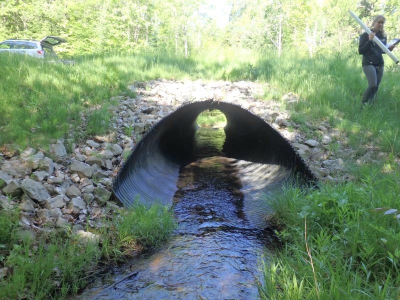
Inlet
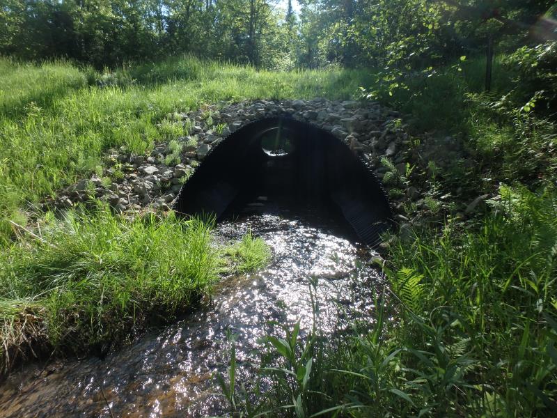
Outlet
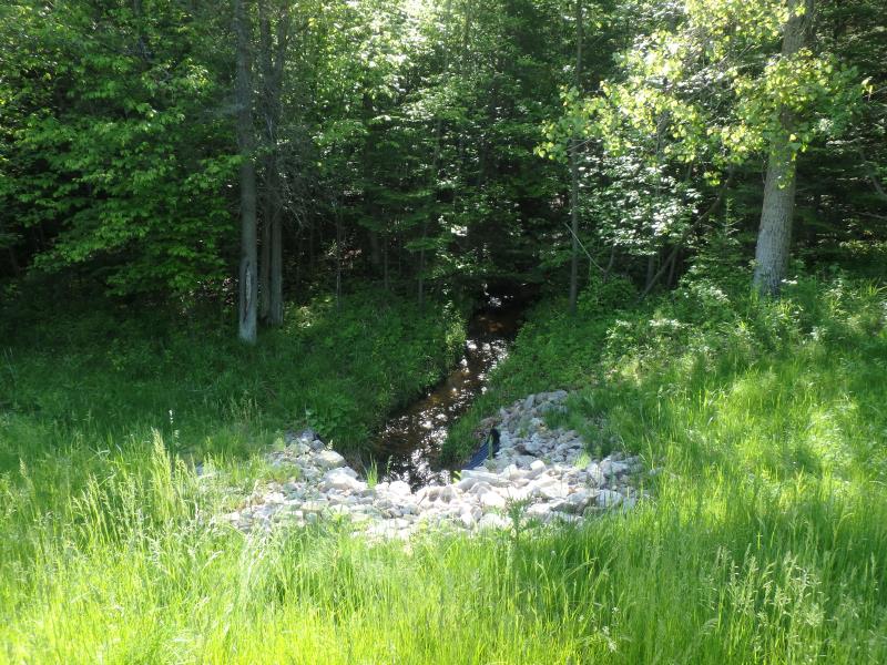
Upstream Conditions
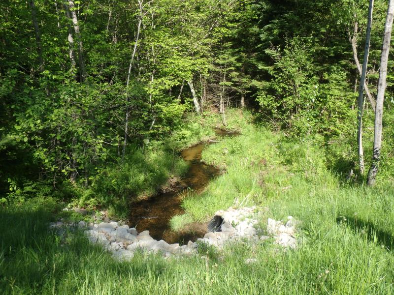
Downstream Conditions
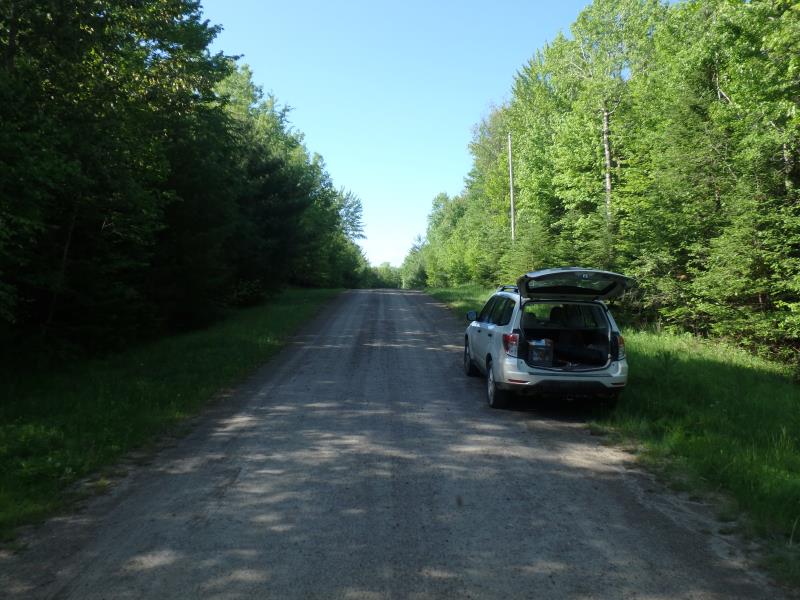
Road Approach - Left
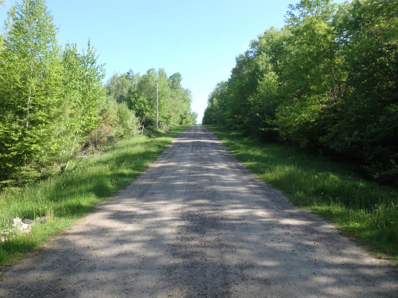
Road Approach - Right
Crossing Information
Type of Crossing: culvert(s)
Number of Structures: 1
Structure Shape: Pipe Arch
Inlet Type: Mitered
Outlet Type: At Stream Grade
Structure Material: Metal
Structure Substrate: Sand
General Conditions: New
Structure Interior: corrugated
Dimensions of Structure: Length 74 ft.
, Width 7.9 ft.
, Height 5.6 ft.
Structure is NOT Perched
Structure Inlet
Water Depth: 0.3 ft.
Embedded Depth of Structure: 0 ft.
Water Velocity*: 2.2 ft./sec.
Structure Outlet
Water Depth: 0.2 ft.
Embedded Depth of Structure: 0.18 ft.
Water Velocity*: 1.6 ft./sec.
*Water Velocities were measured 0.1 ft. below Surface
(with Meter)
Additional Comments
Restored in 2013 (new pipe culvert)
Stream Information
Stream Flow: Less than Bankfull
Scour Pool: Length 0 ft.
, Width 0 ft.
, Depth 0 ft.
Upstream Pond: Length 0 ft.
, Width 0 ft.
, Depth 0 ft.
Riffle Information
Water Depth: 0.4 ft.
Bankfull Width: 5.7 ft.
Wetted Width: 4.3 ft.
Water Velocity: 1.1 ft./sec.
(Measured with Meter)
Dominant Substrate: Gravel
Road Information
Gravel
Private Road
Road Condition: Good
Road Width at Culvert: 15 ft.
Location of Low Point: At Stream
Runoff Path: Ditch
Embankments
Upstream
Fill Depth: 3.9 ft.
Slope: More than 1:2
Downstream
Fill Depth: 4.2 ft.
Slope: More than 1:2
Approaches
Left Approach
Length: 275 ft.
Slope: 6% to 10%
Vegetation: Heavy
LS Factor: 1.36
Erosion: 1.5455 tons/year
Right Approach
Length: 460 ft.
Slope: 6% to 10%
Vegetation: Heavy
LS Factor: 1.593
Erosion: 3.028 tons/year
Erosion Information
Total Erosion at Crossing: 4.5735 tons/year
Summary Information
Fish Passability 0.5
�