Road Stream Crossing Site MAN_HC001
Big Manistee River Watershed, Hinton Creek
Warfield Rd
Dickson Twp,
Manistee County
Information collected by:
Site Location
GPS Coordinates: 44.27753
, -85.83144
T22N
R13W
Sec 25
Owned by Private
Fish Passability 0.9
Total Erosion: 0.2308 tons/year
Severity: Minor
Year Inventoried: 2021
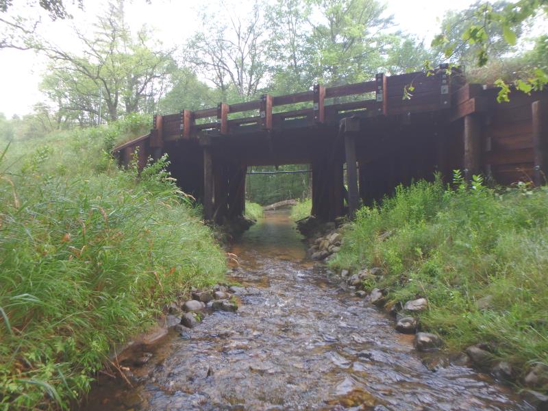
Inlet
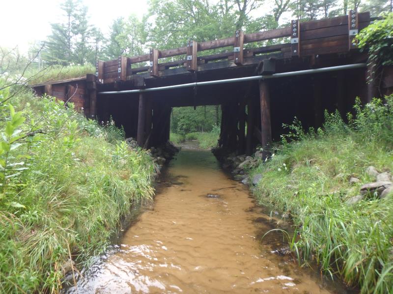
Outlet
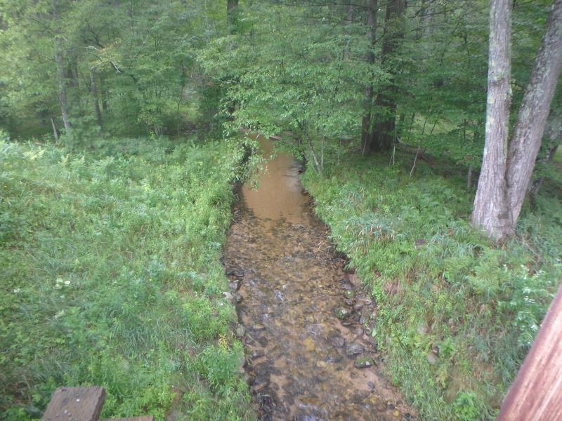
Upstream Conditions
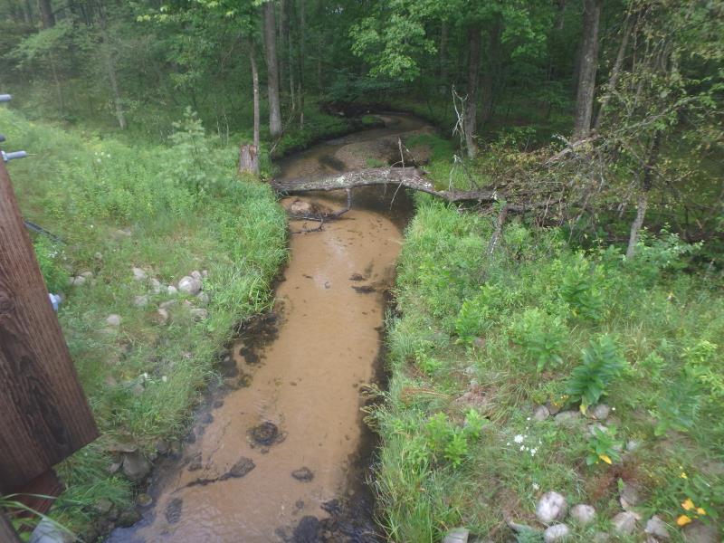
Downstream Conditions
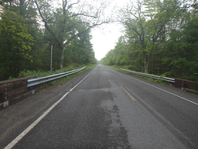
Road Approach - Left
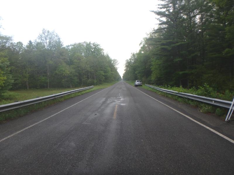
Road Approach - Right
Crossing Information
Type of Crossing: Bridge
Structure Shape: Open Bottom Square/Rectangle
Inlet Type: Wingwall 30-70 Degree
Outlet Type: At Stream Grade
Structure Material: Wood
Structure Substrate: Rock
General Conditions: Good
Structure Interior: corrugated
Dimensions of Structure: Length 36 ft.
, Width 36 ft.
, Height 12.8 ft.
Structure Inlet
Water Depth: 0.6 ft.
Embedded Depth of Structure: 0 ft.
Water Velocity*: 1.4 ft./sec.
Structure Outlet
Water Depth: 0.6 ft.
Embedded Depth of Structure: 0 ft.
Water Velocity*: 0.8 ft./sec.
*Water Velocities were measured 0.4 ft. below Surface
(with Meter)
Additional Comments
H2O: 64 deg. / Ref. Reach 200' Upstream
Stream Information
Stream Flow: Less than 1/2 Bankfull
Riffle Information
Water Depth: 0.4 ft.
Bankfull Width: 13.1 ft.
Wetted Width: 10.6 ft.
Water Velocity: 1.7 ft./sec.
(Measured with Meter)
Dominant Substrate: Gravel
Road Information
Paved
County Road
Road Condition: Good
Road Width at Culvert: 30 ft.
Location of Low Point: At Stream
Runoff Path: Ditch
Fill Depth: 0 ft.
Slope: Vertical
Fill Depth: 0 ft.
Slope: Vertical
Approaches
Left Approach
Length: 440 ft.
Slope: 1% to 5%
Vegetation: Heavy
LS Factor: 0.488
Erosion: 0.2129 tons/year
Right Approach
Length: 360 ft.
Slope: Less Than 1%
Vegetation: Heavy
LS Factor: 0.05
Erosion: 0.0179 tons/year
Erosion Information
Total Erosion at Crossing: 0.2308 tons/year
Summary Information
Fish Passability 0.9
These non-native species were observerd at this site: Autumn Olive, Queen Anne's Lace
�