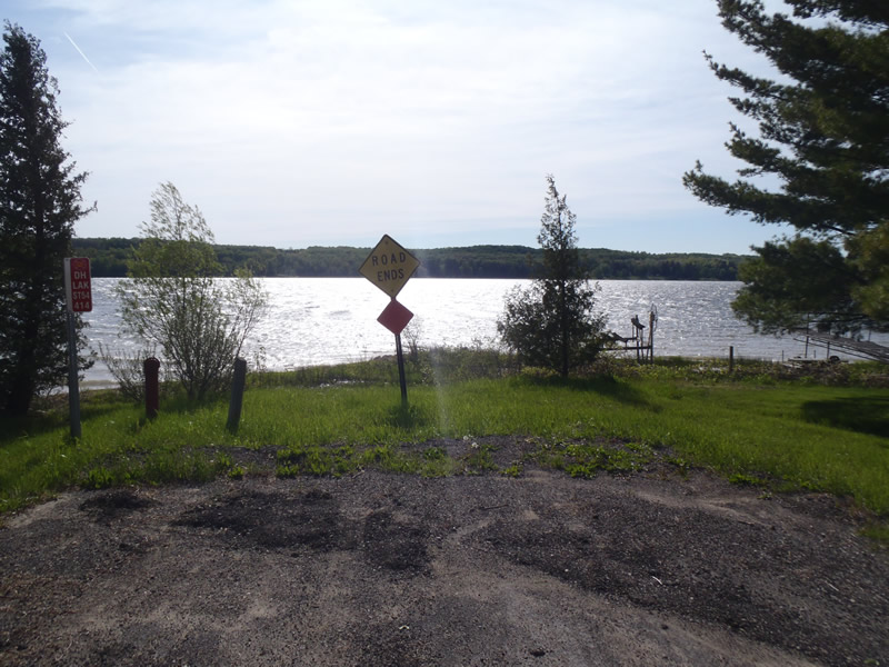
Road Stream Crossing Site CHAR_EV27
Lake Charlevoix Watershed, Lake Charlevoix
Bracey Rd
Eveline Twp,
Charlevoix County
Information collected by:
Site Location
GPS Coordinates: 45.21437
, -85.1534
T33N
R07W
Sec 34
Owned by Private
Severity: Minor
Year Inventoried: 2011
Contact Point
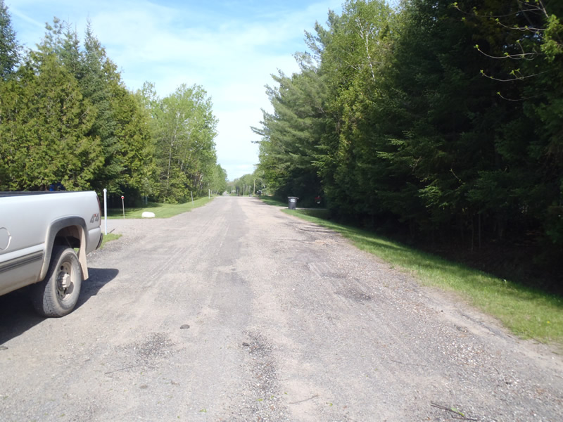
Road Approach - Left
Crossing Information
Type of Crossing: Contact Point
General Conditions: Good
Road Information
Paved
County Road
Road Condition: Poor
Road Width at Culvert: 22 ft.
Location of Low Point: At Stream
Runoff Path: Roadway
Length: 444 ft.
Slope: Less Than 1%
Vegetation: Heavy
Erosion Information
Extent of Erosion: Minor
Notes: Road is eroding
Summary Information
�