Road Stream Crossing Site CHAR_EV28
Lake Charlevoix Watershed, Unknown
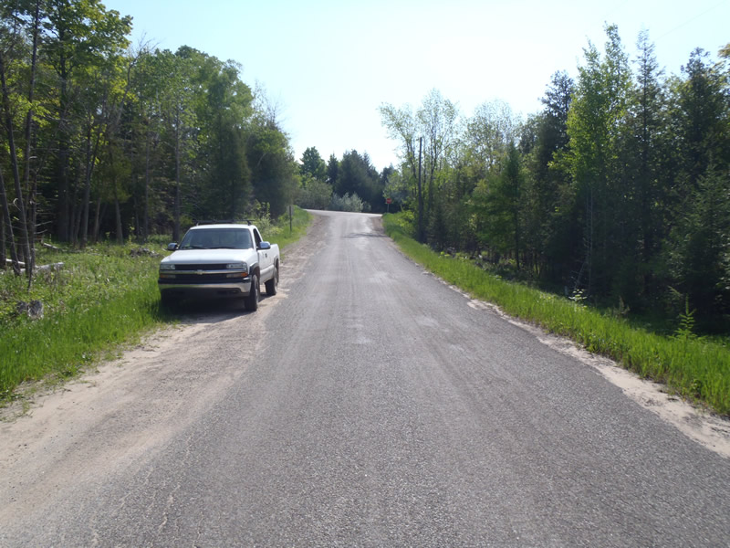
Mountain Rd
Eveline Twp,
Charlevoix County
Information collected by:
Site Location
GPS Coordinates: 45.223198
, -85.143011
T33N
R07W
Sec 27
Owned by Private
Perch Height: 1 ft.
Total Erosion: 0.4037 tons/year
Severity: Minor
Year Inventoried: 2011
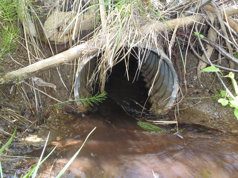
Inlet
Outlet

Upstream Conditions
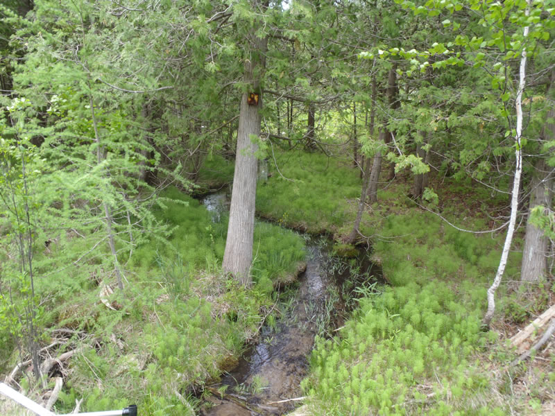
Downstream Conditions
Road Approach - Left
Road Approach - Right
Crossing Information
Type of Crossing: culvert(s)
Number of Structures: 1
Structure Shape: Round
Inlet Type: Projecting
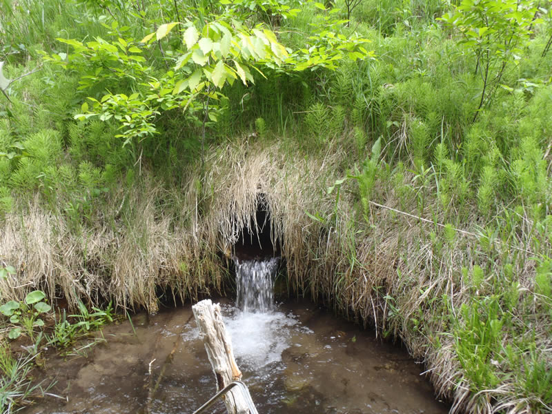
Outlet Type: Freefall into Pool
Structure Material: Metal
Structure Substrate: None
General Conditions: Fair
Structure Interior: corrugated
Dimensions of Structure: Length 40 ft.
, Width 1.3 ft.
, Height 1.3 ft.
Perch Height: 1 ft.
Structure Inlet
Water Depth: 0.18 ft.
Embedded Depth of Structure: 0 ft.
Water Velocity*: 1.9 ft./sec.
Structure Outlet
Water Depth: 0.5 ft.
Embedded Depth of Structure: 0 ft.
Water Velocity*: 3.1 ft./sec.
*Water Velocities were measured at the Surface
(with Meter)
Stream Information
Stream Flow: Less than Bankfull
Scour Pool: Length 5 ft.
, Width 5.7 ft.
, Depth 1 ft.
Riffle Information
Water Depth: 0.22 ft.
Bankfull Width: 3.4 ft.
Wetted Width: 3 ft.
Water Velocity: 0.9 ft./sec.
(Measured with Meter)
Dominant Substrate: Sand
Road Information
Paved
County Road
Road Condition: Fair
Road Width at Culvert: 23 ft.
Location of Low Point: Other
Runoff Path: Roadway
Embankments
Upstream
Fill Depth: 5.5 ft.
Slope: Vertical
Downstream
Fill Depth: 7 ft.
Slope: Vertical
Approaches
Left Approach
Length: 354 ft.
Slope: 6% to 10%
Vegetation: Heavy
LS Factor: 1.47
Erosion: 0.3957 tons/year
Right Approach
Length: 210 ft.
Slope: Less Than 1%
Vegetation: Heavy
LS Factor: 0.05
Erosion: 0.008 tons/year
Erosion Information
Total Erosion at Crossing: 0.4037 tons/year
Extent of Erosion: Minor
Notes:
Perched culvert creating a scour pool.
Summary Information
Erosion is an area of concern for this site.
�