Road Stream Crossing Site CHAR_BA06
Lake Charlevoix Watershed, Horton Creek
Water Wheel Lane
Bay Twp,
Charlevoix County
Information collected by:
Site Location
GPS Coordinates: 45.283026
, -85.087623
T33N
R06W
Sec 6
Structure is NOT Perched
Total Erosion: 0.0723 tons/year
Severity: Minor
Year Inventoried: 2011
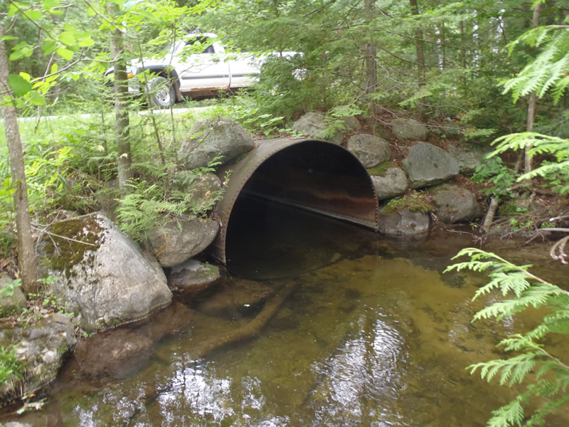
Inlet
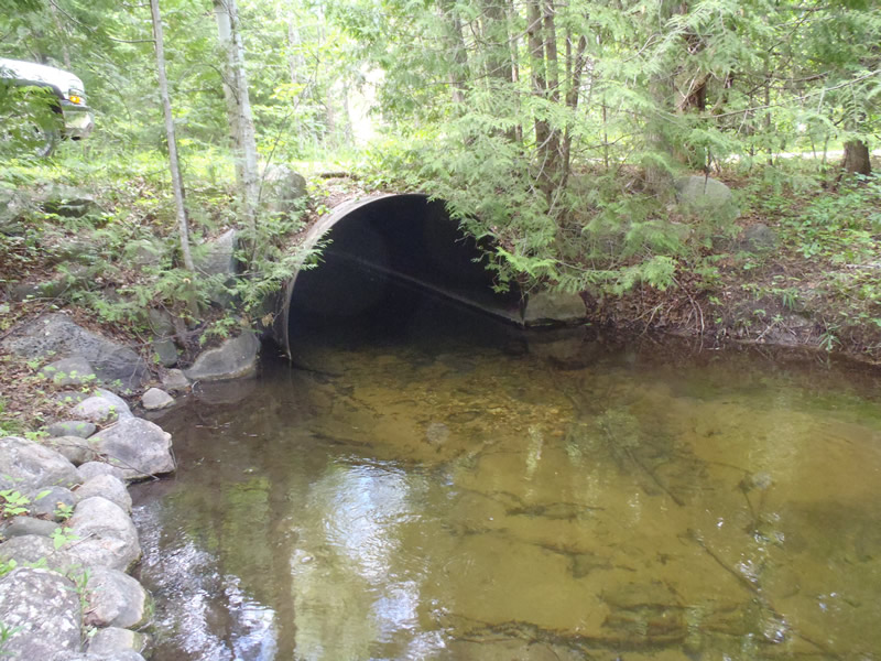
Outlet
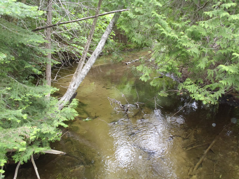
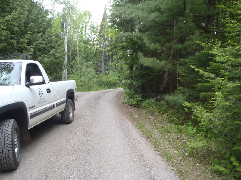
Upstream Conditions
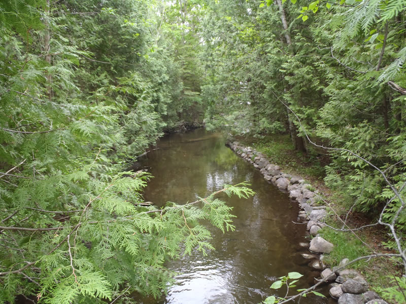
Downstream Conditions
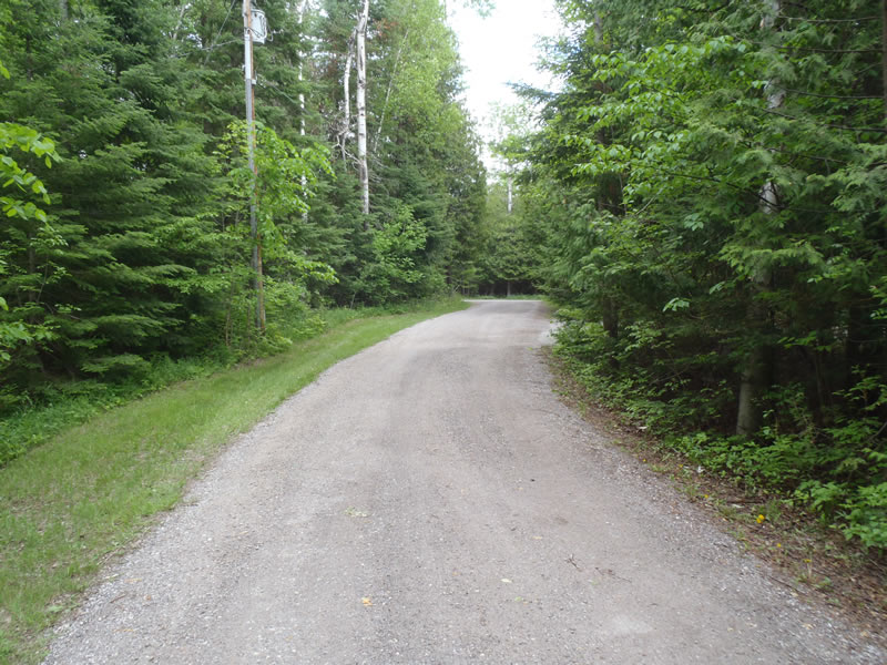
Road Approach - Left
Road Approach - Right
Crossing Information
Type of Crossing: culvert(s)
Number of Structures: 1
Structure Shape: Round
Inlet Type: Projecting
Outlet Type: At Stream Grade
Structure Material: Metal
Structure Substrate: Mixture
General Conditions: Good
Structure Interior: smooth
Dimensions of Structure: Length 40 ft.
, Width 7 ft.
, Height 6.5 ft.
Structure is NOT Perched
Structure Inlet
Water Depth: 2.83 ft.
Embedded Depth of Structure: 0 ft.
Water Velocity*: 1.3 ft./sec.
Structure Outlet
Water Depth: 2.25 ft.
Embedded Depth of Structure: 0 ft.
Water Velocity*: 1.4 ft./sec.
*Water Velocities were measured 1.4 ft. below Surface
(with Meter)
Stream Information
Stream Flow: Bankfull
Scour Pool: Length 25 ft.
, Width 20 ft.
, Depth 2.85 ft.
Riffle Information
Water Depth: 0.8 ft.
Bankfull Width: 20 ft.
Wetted Width: 19.4 ft.
Water Velocity: 1.9 ft./sec.
(Measured with Meter)
Dominant Substrate: Sand
Road Information
Gravel
Private Road
Road Condition: Good
Road Width at Culvert: 13 ft.
Location of Low Point: At Stream
Runoff Path: Ditch
Embankments
Upstream
Fill Depth: 2 ft.
Slope: 1:1
Downstream
Fill Depth: 2 ft.
Slope: 1:1
Approaches
Left Approach
Length: 214.5 ft.
Slope: Less Than 1%
Vegetation: Heavy
LS Factor: 0.05
Erosion: 0.0384 tons/year
Right Approach
Length: 189 ft.
Slope: Less Than 1%
Vegetation: Heavy
LS Factor: 0.05
Erosion: 0.0338 tons/year
Erosion Information
Total Erosion at Crossing: 0.0723 tons/year
Extent of Erosion: Moderate
Summary Information
Erosion is an area of concern for this site.
�