Road Stream Crossing Site CHAR_EV29
Lake Charlevoix Watershed, Unknown
Private Drive off Peninsula Rd
Eveline Twp,
Charlevoix County
Information collected by:
Site Location
GPS Coordinates: 45.219994
, -85.1444
T33N
R07W
Sec 27
Owned by Private
Structure is NOT Perched
Total Erosion: 0.1832 tons/year
Severity: Moderate
Year Inventoried: 2011
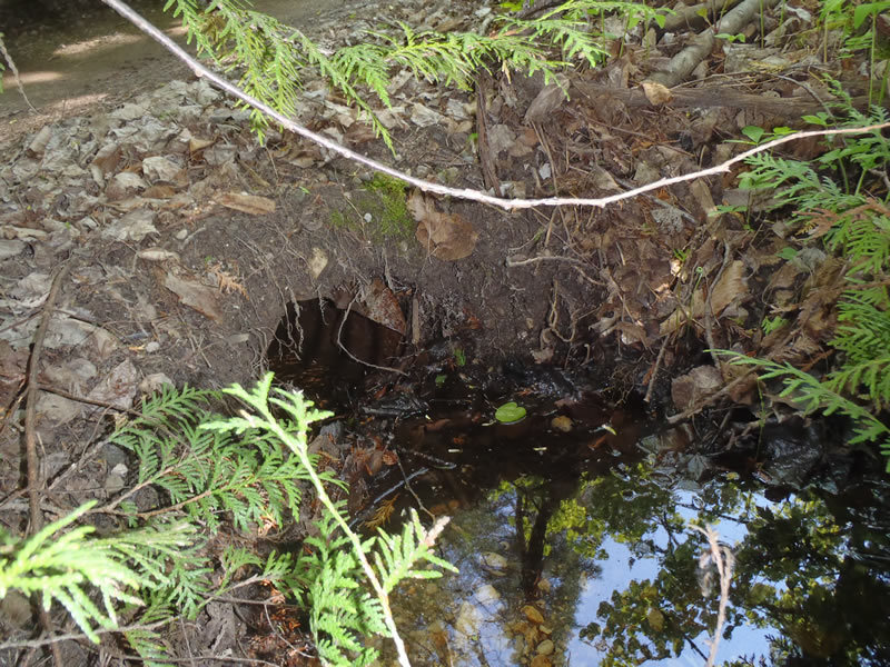
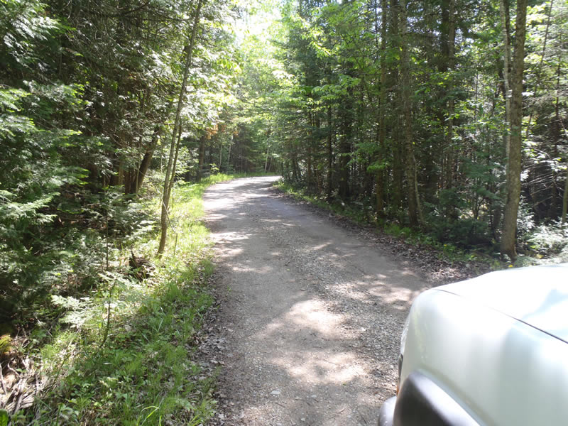
Inlet
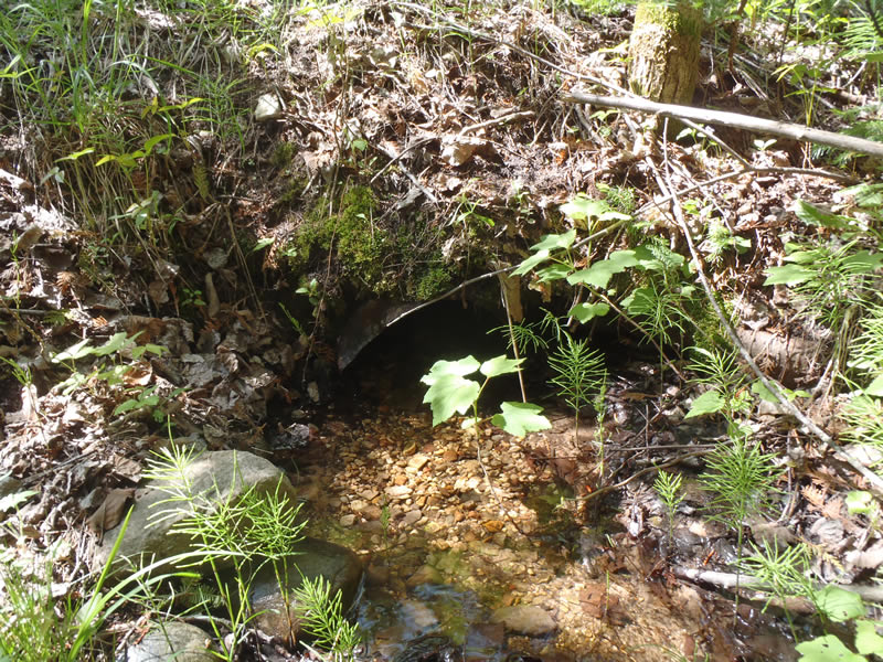
Outlet
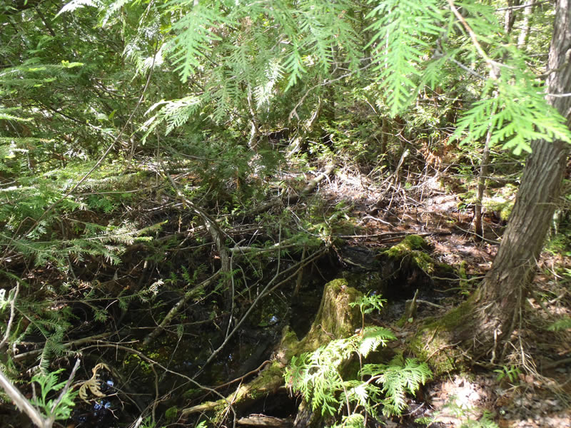
Upstream Conditions
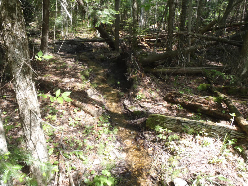
Downstream Conditions
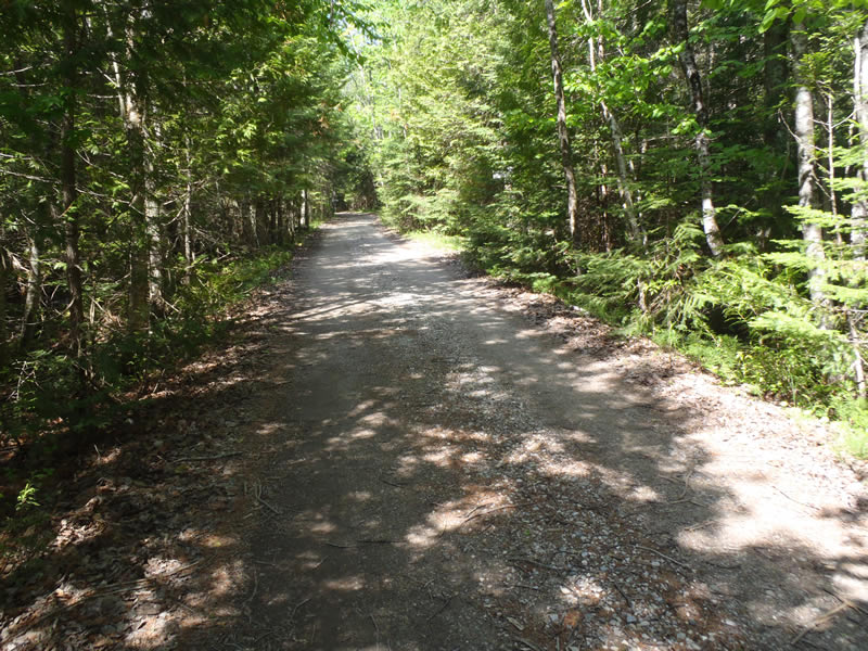
Road Approach - Left
Road Approach - Right
Crossing Information
Type of Crossing: culvert(s)
Number of Structures: 1
Structure Shape: Round
Inlet Type: Projecting
Outlet Type: At Stream Grade
Structure Material: Metal
Structure Substrate: Gravel
General Conditions: Fair
Structure Interior: corrugated
Dimensions of Structure: Length 15 ft.
, Width 1 ft.
, Height 1 ft.
Percentage Plugged:
Inlet: 1% to 25%
Outlet: 0%
In Pipe: 0%
Percentage Crushed:
Inlet: 1% to 25%
Outlet: 1% to 25%
In Pipe: 1% to 25%
Structure is NOT Perched
Structure Inlet
Water Depth: 0.15 ft.
Embedded Depth of Structure: 0.05 ft.
Water Velocity*: 0.6 ft./sec.
Structure Outlet
Water Depth: 0.21 ft.
Embedded Depth of Structure: 0.05 ft.
Water Velocity*: 0.4 ft./sec.
*Water Velocities were measured at the Surface
(with Meter)
Stream Information
Stream Flow: Less than Bankfull
Riffle Information
Water Depth: 0.07 ft.
Bankfull Width: 2 ft.
Wetted Width: 1.2 ft.
Water Velocity: 0.8 ft./sec.
(Measured with Meter)
Dominant Substrate: Gravel
Road Information
Gravel
Private Road
Road Condition: Fair
Road Width at Culvert: 10 ft.
Location of Low Point: At Stream
Runoff Path: Ditch
Embankments
Upstream
Fill Depth: 1 ft.
Slope: Vertical
Downstream
Fill Depth: 2 ft.
Slope: Vertical
Approaches
Left Approach
Length: 330 ft.
Slope: Less Than 1%
Vegetation: Heavy
LS Factor: 0.05
Erosion: 0.0455 tons/year
Right Approach
Length: 1000 ft.
Slope: Less Than 1%
Vegetation: Heavy
LS Factor: 0.05
Erosion: 0.1377 tons/year
Erosion Information
Total Erosion at Crossing: 0.1832 tons/year
Extent of Erosion: Minor
Notes:
Embankments need vegetation for stabilization.
Summary Information
Erosion is an area of concern for this site.
�