Road Stream Crossing Site CHAR_EV30
Lake Charlevoix Watershed, Dyer Creek
Ridge Rd
Eveline Twp,
Charlevoix County
Information collected by:
Site Location
GPS Coordinates: 45.23412
, -85.11874
T33N
R07W
Sec 25
Owned by Private
Perch Height: 1 ft.
Total Erosion: 3.0119 tons/year
Severity: Severe
Year Inventoried: 2011
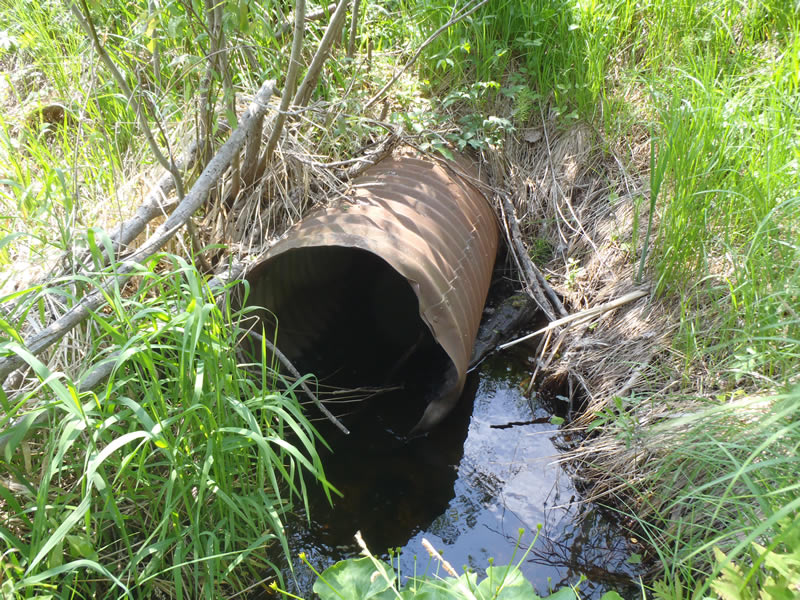
Inlet
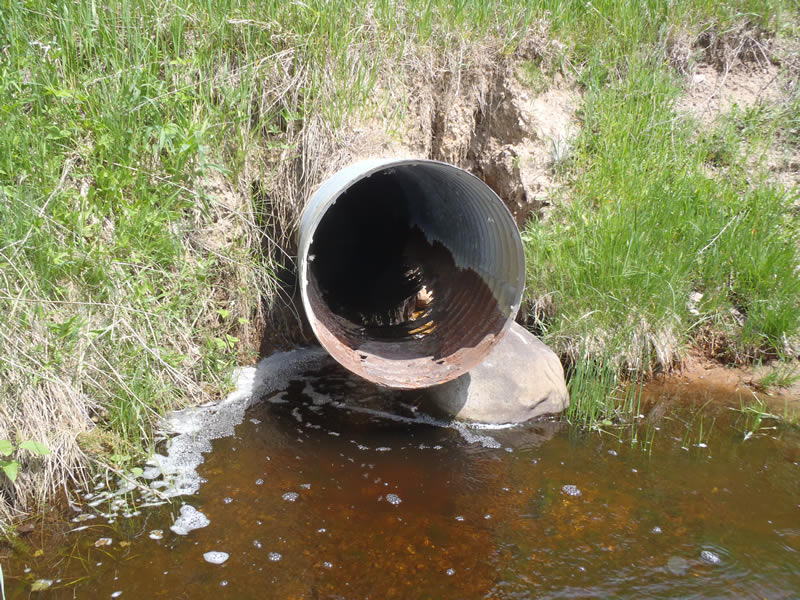
Outlet
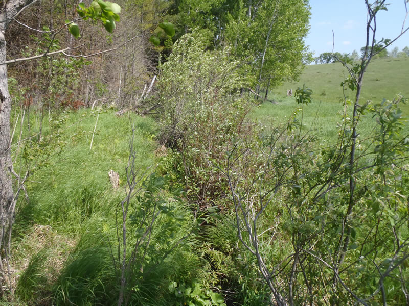
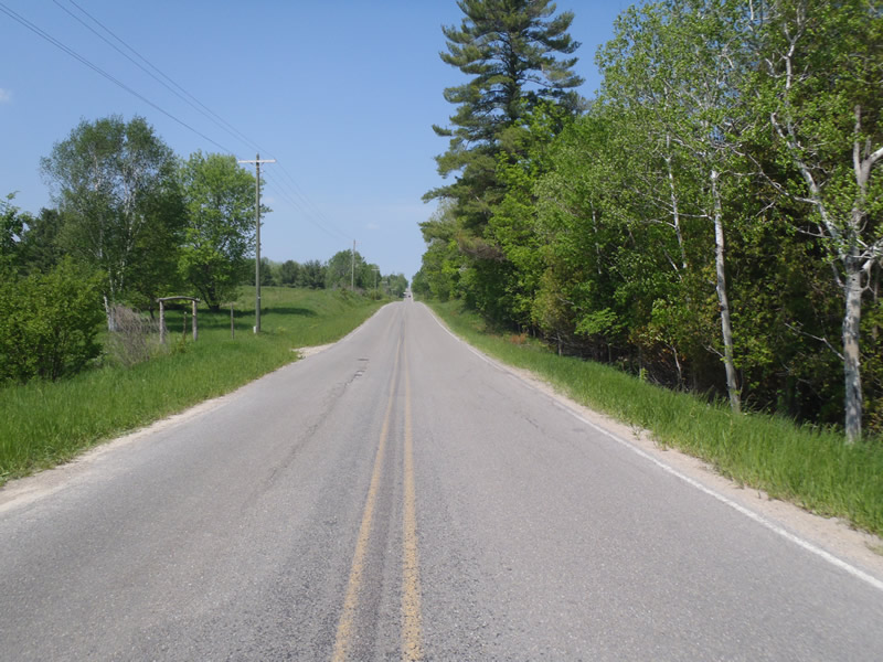
Upstream Conditions
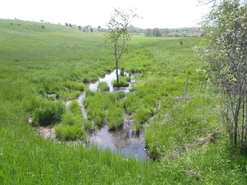
Downstream Conditions
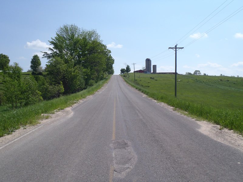
Road Approach - Left
Road Approach - Right
Crossing Information
Type of Crossing: culvert(s)
Number of Structures: 1
Structure Shape: Round
Inlet Type: Projecting
Outlet Type: Freefall into Pool
Structure Material: Metal
Structure Substrate: None
General Conditions: Poor
Structure Interior: corrugated
Structure is Rusted through
Dimensions of Structure: Length 75 ft.
, Width 2 ft.
, Height 2 ft.
Percentage Crushed:
Inlet: 0%
Outlet: 0%
In Pipe: 1% to 25%
Perch Height: 1 ft.
Structure Inlet
Water Depth: 0.21 ft.
Embedded Depth of Structure: 0 ft.
Water Velocity*: 1.4 ft./sec.
*Water Velocities were measured at the Surface
(with Meter)
Additional Comments
Outlet conditions could not be collected due to live electrical wire blocking access and water exits about 3 ft in the tube through a rust hole.
Stream Information
Stream Flow: Less than Bankfull
Scour Pool: Length 4 ft.
, Width 3.5 ft.
, Depth 1.6 ft.
Upstream Pond: Length 3 ft.
, Width 3.5 ft.
, Depth 0.76 ft.
Riffle Information
Water Depth: 0.3 ft.
Bankfull Width: 4 ft.
Wetted Width: 3.2 ft.
Water Velocity: 0.8 ft./sec.
(Measured with Meter)
Dominant Substrate: Sand
Road Information
Paved
County Road
Road Condition: Good
Road Width at Culvert: 25 ft.
Location of Low Point: At Stream
Runoff Path: Roadway
Embankments
Upstream
Fill Depth: 12 ft.
Slope: 1:1
Downstream
Fill Depth: 12 ft.
Slope: Vertical
Approaches
Left Approach
Length: 1000 ft.
Slope: 6% to 10%
Vegetation: Partial
LS Factor: 3.15
Erosion: 2.6033 tons/year
Right Approach
Length: 567 ft.
Slope: 1% to 5%
Vegetation: Heavy
LS Factor: 0.513
Erosion: 0.2406 tons/year
Erosion Information
Total Erosion at Crossing: 3.0119 tons/year
Extent of Erosion: Moderate
Notes:
Embankment erosion and scour pool.
Location of Erosion | Erosion Dimensions | Eroded Material | Material Eroded | Total Erosion | ||
facing downstream | Length | Width | Depth | Reaching Stream? | (tons/year) | |
Left Downstream Embankment |
8 ft. |
3 ft. |
3 ft. |
yes |
Gravelly Loam |
0.168 |
Summary Information
Erosion is an area of concern for this site.
Embankment erosion as well as poor structure conditions.
A future visit to this site is recommended.
To collect outlet data.
�