Road Stream Crossing Site CHAR_EV31
Lake Charlevoix Watershed, Dyer Creek
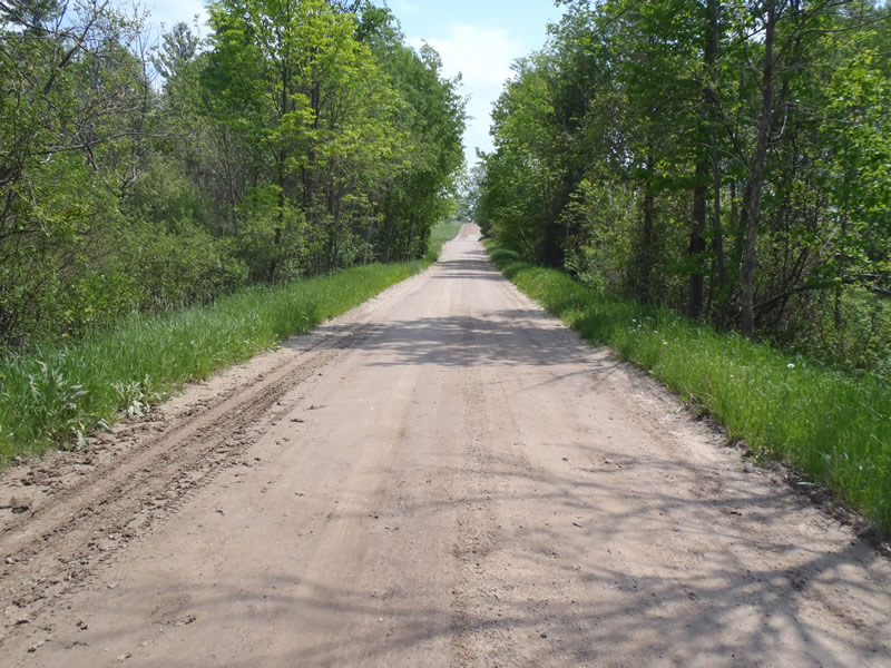
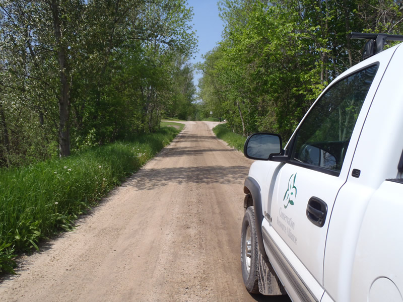
Loomis Rd
Eveline Twp,
Charlevoix County
Information collected by:
Site Location
GPS Coordinates: 45.24135
, -85.11826
T33N
R07W
Sec 23
Owned by Private
Structure is NOT Perched
Total Erosion: 10.6106 tons/year
Severity: Severe
Year Inventoried: 2011
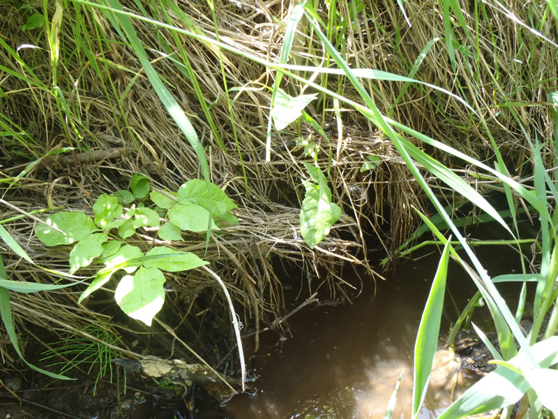
Inlet
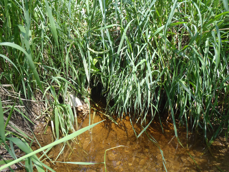
Outlet
Upstream Conditions
Downstream Conditions
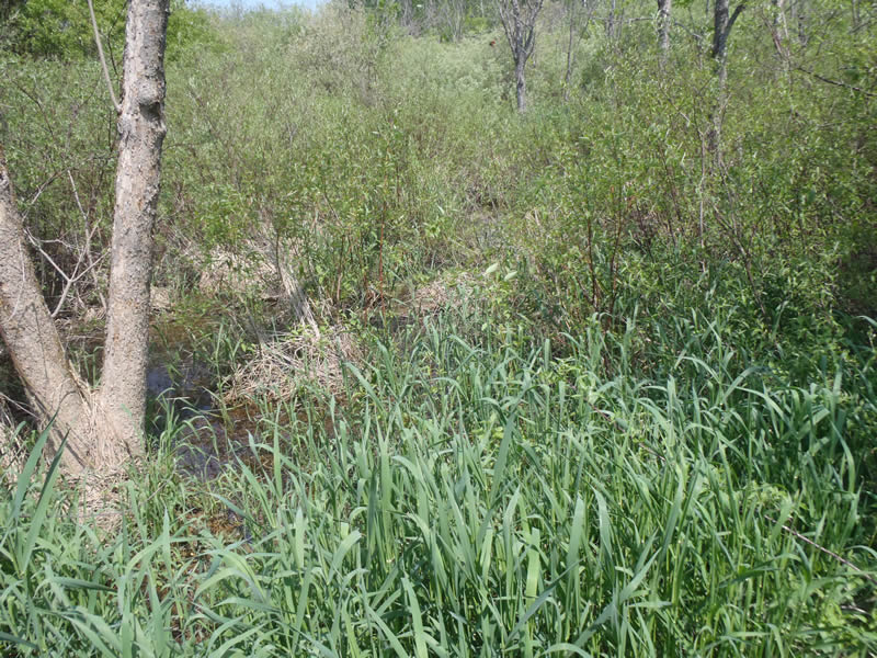
Road Approach - Left
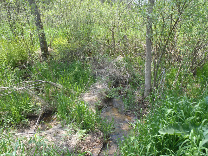
Road Approach - Right
Crossing Information
Type of Crossing: culvert(s)
Number of Structures: 1
Structure Shape: Round
Inlet Type: Projecting
Outlet Type: At Stream Grade
Structure Material: Metal
Structure Substrate: Mixture
General Conditions: Poor
Structure Interior: corrugated
Dimensions of Structure: Length 20 ft.
, Width 1 ft.
, Height 1 ft.
Percentage Plugged:
Inlet: 1% to 25%
Outlet: 1% to 25%
In Pipe: 1% to 25%
Structure is NOT Perched
Structure Inlet
Water Depth: 0.75 ft.
Embedded Depth of Structure: 0.2 ft.
Water Velocity*: 0.05 ft./sec.
Structure Outlet
Water Depth: 0.36 ft.
Embedded Depth of Structure: 0.2 ft.
Water Velocity*: 0.1 ft./sec.
*Water Velocities were measured 0.25 ft. below Surface
(with Meter)
Stream Information
Stream Flow: Less than Bankfull
Riffle Information
Water Depth: 0.05 ft.
Bankfull Width: 3 ft.
Wetted Width: 2.2 ft.
Water Velocity: 0.6 ft./sec.
(Measured with Meter)
Dominant Substrate: Gravel
Road Information
Gravel
County Road
(Seasonal)
Road Condition: Fair
Road Width at Culvert: 17 ft.
Location of Low Point: Other
Runoff Path: Roadway
Embankments
Upstream
Fill Depth: 2.5 ft.
Slope: Vertical
Downstream
Fill Depth: 2 ft.
Slope: Vertical
Approaches
Left Approach
Length: 1000 ft.
Slope: 6% to 10%
Vegetation: Heavy
LS Factor: 2.05
Erosion: 9.6006 tons/year
Right Approach
Length: 369 ft.
Slope: 1% to 5%
Vegetation: Partial
LS Factor: 0.585
Erosion: 1.0101 tons/year
Erosion Information
Total Erosion at Crossing: 10.6106 tons/year
Extent of Erosion: Moderate
Summary Information
Erosion is an area of concern for this site.
These non-native species were observerd at this site: Phragmites (young so potentially native)
�