Road Stream Crossing Site CHAR_MA01
Lake Charlevoix Watershed, Loeb Creek
Evergreen Point Rd
Marion Twp,
Charlevoix County
Information collected by:
Site Location
GPS Coordinates: 45.2821
, -85.23108
T33N
R08W
Sec 1
Owned by Private
Structure is NOT Perched
Total Erosion: 0.0385 tons/year
Severity: Minor
Year Inventoried: 2011
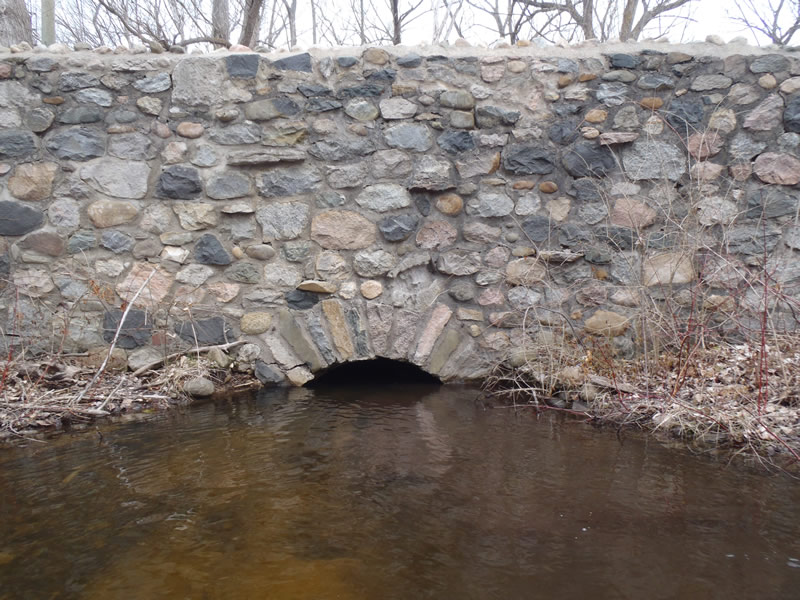
Inlet
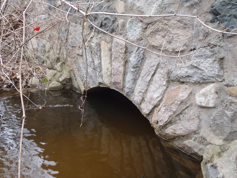
Outlet
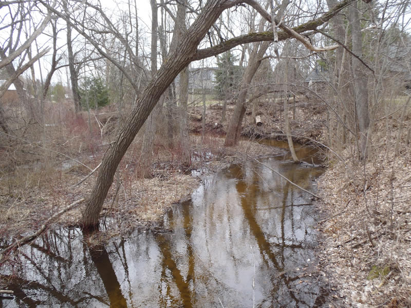
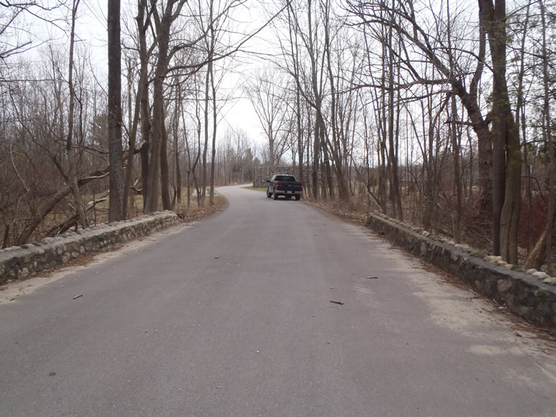
Upstream Conditions
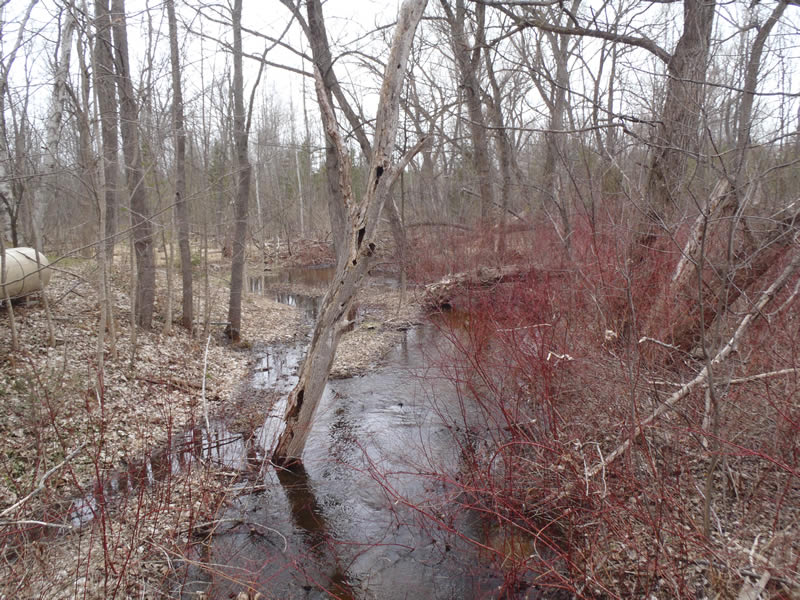
Downstream Conditions
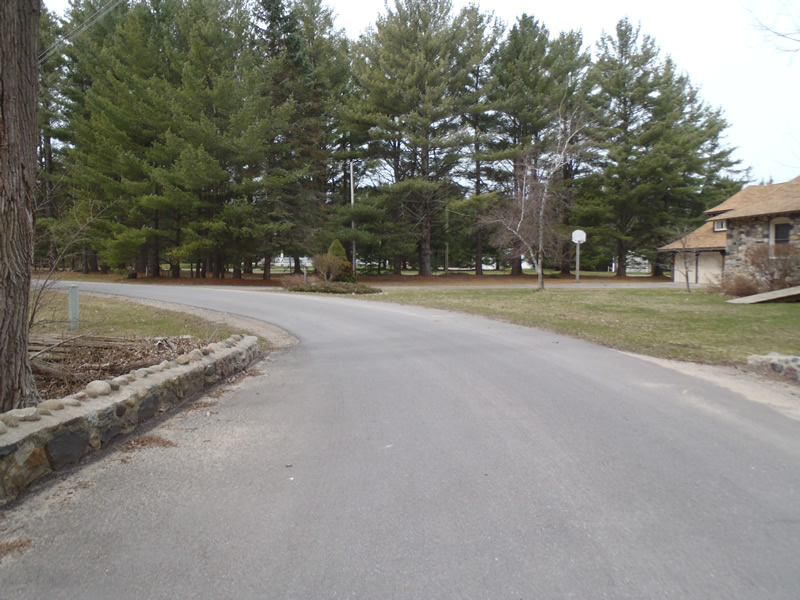
Road Approach - Left
Road Approach - Right
Crossing Information
Type of Crossing: culvert(s)
Number of Structures: 1
Structure Shape: Open Bottom Square/Rectangle
Inlet Type: Headwall
Outlet Type: At Stream Grade
Structure Material: Concrete
Structure Substrate: Sand
General Conditions: Good
Structure Interior: corrugated
Dimensions of Structure: Length 23 ft.
, Width 4 ft.
, Height 4 ft.
Structure is NOT Perched
Structure Inlet
Water Depth: 3.4 ft.
Embedded Depth of Structure: 0 ft.
Water Velocity*: 1.4 ft./sec.
Structure Outlet
Water Depth: 3.4 ft.
Embedded Depth of Structure: 0 ft.
Water Velocity*: 0.9 ft./sec.
*Water Velocities were measured 2 ft. below Surface
(with Meter)
Stream Information
Stream Flow: Bankfull
Scour Pool: Length 10 ft.
, Width 20 ft.
, Depth 3.6 ft.
Upstream Pond: Length 25 ft.
, Width 25 ft.
Riffle Information
Water Depth: 2.45 ft.
Bankfull Width: 16 ft.
Wetted Width: 16 ft.
Water Velocity: 0.9 ft./sec.
(Measured with Meter)
Dominant Substrate: Sand
Road Information
Paved
Private Road
Road Condition: Good
Road Width at Culvert: 21 ft.
Location of Low Point: At Stream
Runoff Path: Ditch
Fill Depth: 0 ft.
Slope: 1:1.5
Fill Depth: 0 ft.
Slope: 1:2
Approaches
Left Approach
Length: 147 ft.
Slope: Less Than 1%
Vegetation: Partial
LS Factor: 0.05
Erosion: 0.0051 tons/year
Right Approach
Length: 801 ft.
Slope: Less Than 1%
Vegetation: Partial
LS Factor: 0.06
Erosion: 0.0334 tons/year
Erosion Information
Total Erosion at Crossing: 0.0385 tons/year
Extent of Erosion: Moderate
Summary Information
Erosion is an area of concern for this site.
�