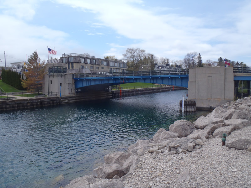
Road Stream Crossing Site CHAR_CX01
Lake Charlevoix Watershed, Round Lake
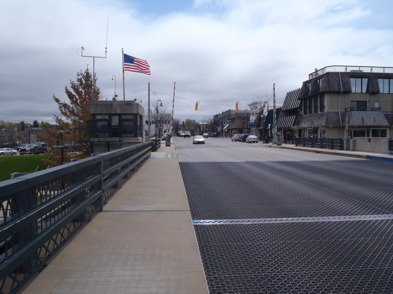
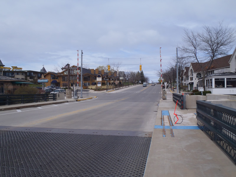
Bridge St/US-31
Charlevoix Twp,
Charlevoix County
Information collected by:
Site Location
GPS Coordinates: 45.31893
, -85.25874
T34N
R08W
Sec 26
Owned by Private
Other
Other
Structure is NOT Perched
Total Erosion: 0.9306 tons/year
Severity: Minor
Year Inventoried: 2011
Inlet
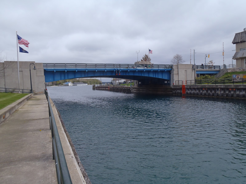
Outlet
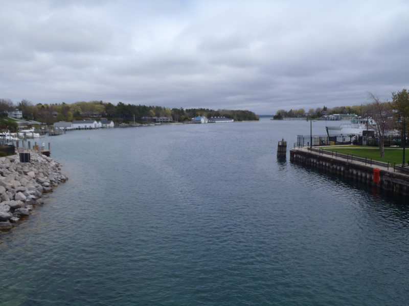
Upstream Conditions
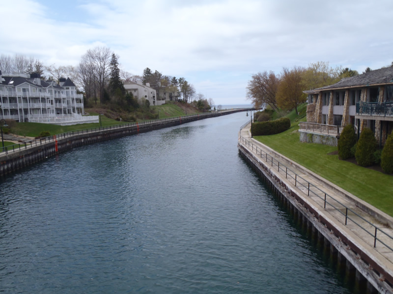
Downstream Conditions
Road Approach - Left
Road Approach - Right
Crossing Information
Type of Crossing: Bridge
Structure Shape: Open Bottom Square/Rectangle
Inlet Type: Other
Outlet Type: Other
Structure Material: Concrete
Structure Substrate: Mixture
General Conditions: Good
Structure Interior: smooth
Dimensions of Structure: Length 58 ft.
, Width 100 ft.
Structure is NOT Perched
Embedded Depth of Structure: 0 ft.
Embedded Depth of Structure: 0 ft.
(with Float Test)
Additional Comments
Boats are unable to pass when bridge is at a height of 14ft. Inlet, outlet, and riffle information was unobtainable with available equipment.
Stream Information
Stream Flow: Bankfull
Dominant Substrate: Organics
Road Information
Paved
State Road
Road Condition: Good
Road Width at Culvert: 44 ft.
Location of Low Point: At Stream
Runoff Path: Ditch
Fill Depth: 0 ft.
Slope: Vertical
Fill Depth: 0 ft.
Slope: Vertical
Approaches
Left Approach
Length: 423 ft.
Slope: Less Than 1%
Vegetation: Partial
LS Factor: 0.051
Erosion: 0.0315 tons/year
Right Approach
Length: 819 ft.
Slope: 1% to 5%
Vegetation: Partial
LS Factor: 0.755
Erosion: 0.8991 tons/year
Erosion Information
Total Erosion at Crossing: 0.9306 tons/year
Extent of Erosion: Moderate
Summary Information
Erosion is an area of concern for this site.
No.
�