Road Stream Crossing Site CHAR_MA05
Lake Charlevoix Watershed, Adams Lake tributary
Pops Rd
Marion Twp,
Charlevoix County
Information collected by:
Site Location
GPS Coordinates: 45.26725
, -85.24057
T33N
R08W
Sec 11
Owned by Private
Structure is NOT Perched
Total Erosion: 1.8253 tons/year
Severity: Moderate
Year Inventoried: 2011
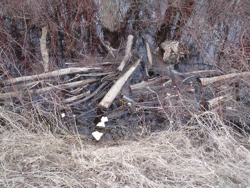
Inlet
Outlet
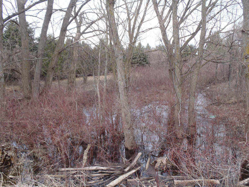
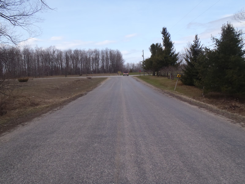
Upstream Conditions
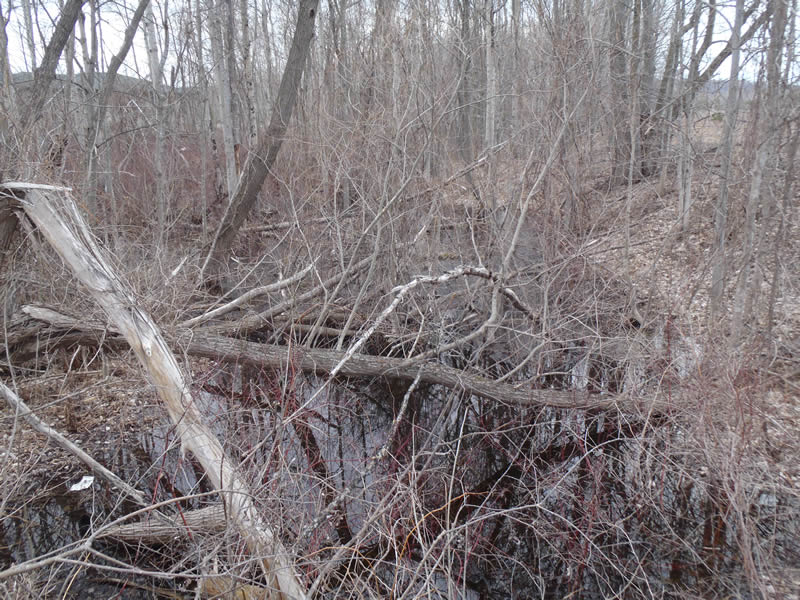
Downstream Conditions
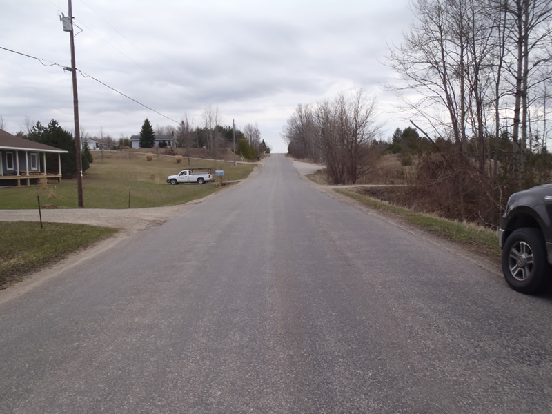
Road Approach - Left
Road Approach - Right
Crossing Information
Type of Crossing: culvert(s)
Number of Structures: 2
Structure Shape: Round
Inlet Type: Projecting
Outlet Type: At Stream Grade
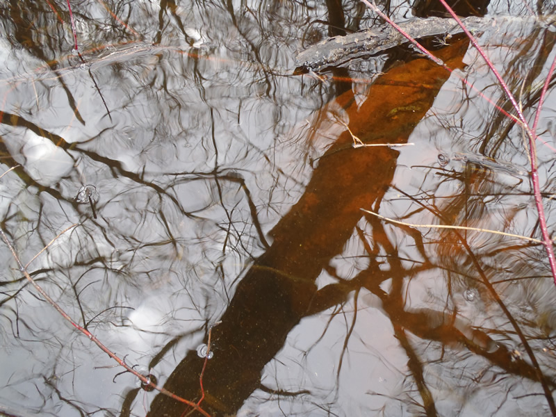
Structure Material: Metal
Structure Substrate: Mixture
General Conditions: Poor
Multiple Culverts/Spans | ||||
Culvert/Span | Width | Length | Height | Material |
1 |
2.5 ft. |
70 ft. |
2.5 ft. |
Metal |
2 |
2.5 ft. |
70 ft. |
2.5 ft. |
Metal |
Structure Interior: corrugated
Dimensions of Structure: Length 70 ft.
, Width 2.5 ft.
, Height 2.5 ft.
Structure is NOT Perched
Structure Inlet
Water Depth: 2.5 ft.
Embedded Depth of Structure: 0 ft.
Water Velocity*: 0.3 ft./sec.
Structure Outlet
Water Depth: 2.5 ft.
Embedded Depth of Structure: 0.5 ft.
Water Velocity*: 0.2 ft./sec.
*Water Velocities were measured 1.5 ft. below Surface
(with Meter)
Additional Comments
Seasonal stream/wetland. Riffle information could not be colected due to upstream and downstream having marsh conditions
Stream Information
Stream Flow: More than Bankfull
Scour Pool: Length 15 ft.
, Width 15 ft.
, Depth 3 ft.
Upstream Pond: Length 150 ft.
, Width 70 ft.
Road Information
Paved
County Road
Road Condition: Good
Road Width at Culvert: 25 ft.
Location of Low Point: At Stream
Runoff Path: Ditch
Embankments
Upstream
Fill Depth: 9.5 ft.
Slope: Vertical
Downstream
Fill Depth: 9.5 ft.
Slope: Vertical
Approaches
Left Approach
Length: 1000 ft.
Slope: 6% to 10%
Vegetation: Heavy
LS Factor: 2.05
Erosion: 1.6942 tons/year
Right Approach
Length: 339 ft.
Slope: 1% to 5%
Vegetation: Heavy
LS Factor: 0.468
Erosion: 0.1311 tons/year
Erosion Information
Total Erosion at Crossing: 1.8253 tons/year
Summary Information
�