Road Stream Crossing Site CHAR_MA07
Lake Charlevoix Watershed, Unknown
Klooster Rd
Marion Twp,
Charlevoix County
Information collected by:
Site Location
GPS Coordinates: 45.24209
, -85.2429
T33N
R08W
Sec 23
Owned by Private
Perch Height: 0.15 ft.
Total Erosion: 16.9959 tons/year
Severity: Severe
Year Inventoried: 2011
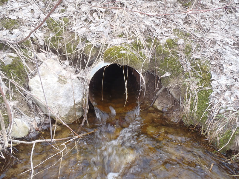
Outlet
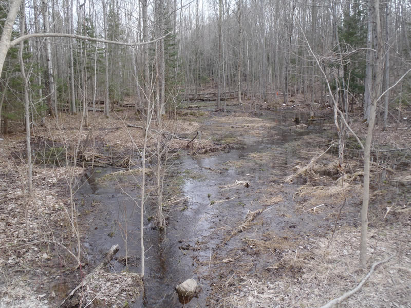
Upstream Conditions
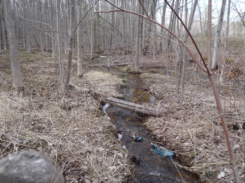
Downstream Conditions
Road Approach - Left
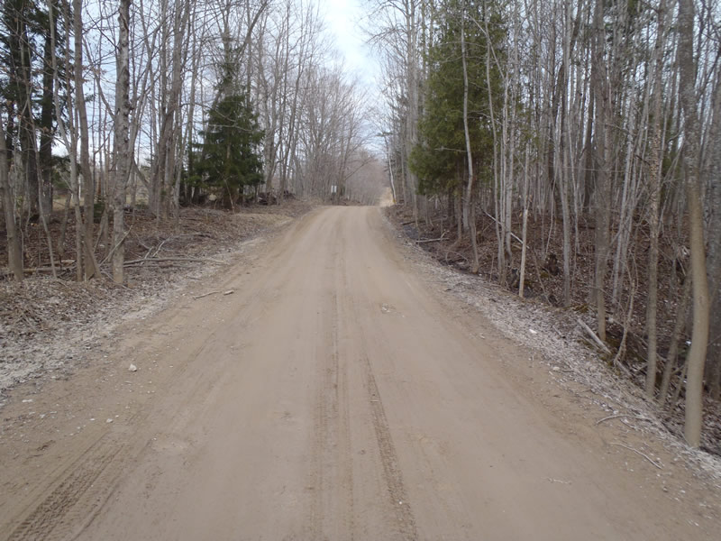
Road Approach - Right
Crossing Information
Type of Crossing: culvert(s)
Number of Structures: 1
Structure Shape: Round
Inlet Type: Projecting
Outlet Type: At Stream Grade
Structure Material: Metal
Structure Substrate: None
General Conditions: Fair
Structure Interior: corrugated
Dimensions of Structure: Length 50 ft.
, Width 1.3 ft.
, Height 1.3 ft.
Perch Height: 0.15 ft.
Structure Inlet
Water Depth: 0.48 ft.
Embedded Depth of Structure: 0 ft.
Water Velocity*: 2.3 ft./sec.
Structure Outlet
Water Depth: 0.3 ft.
Embedded Depth of Structure: 0 ft.
Water Velocity*: 3.8 ft./sec.
*Water Velocities were measured 0.2 ft. below Surface
(with Meter)
Additional Comments
Upstream exhibits marsh conditions.
Stream Information
Stream Flow: Bankfull
Riffle Information
Water Depth: 0.14 ft.
Bankfull Width: 4 ft.
Wetted Width: 4 ft.
Water Velocity: 1 ft./sec.
(Measured with Meter)
Dominant Substrate: Sand
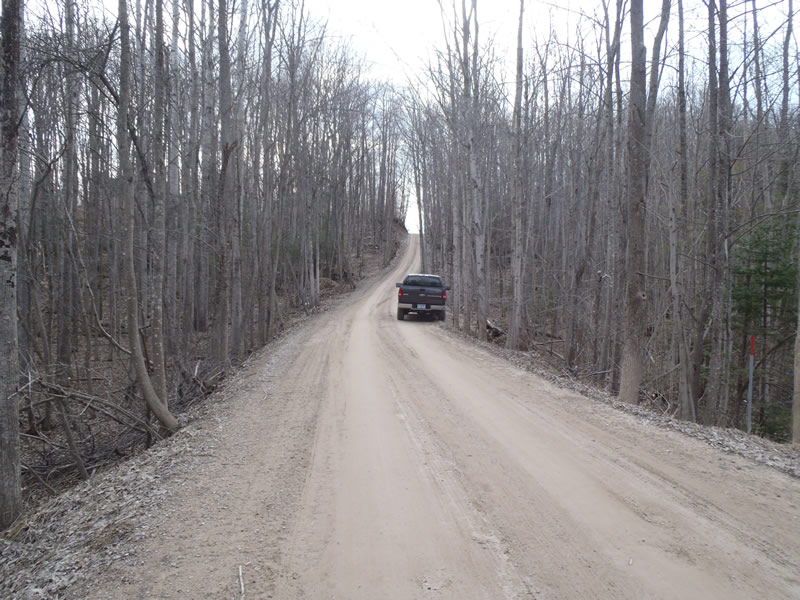
Road Information
Gravel
County Road
(Seasonal)
Road Condition: Fair
Road Width at Culvert: 17 ft.
Location of Low Point: At Stream
Runoff Path: Ditch
Embankments
Upstream
Fill Depth: 8.7 ft.
Slope: 1:1.5
Downstream
Fill Depth: 8.7 ft.
Slope: Vertical
Approaches
Left Approach
Length: 549 ft.
Slope: More Than 10%
Vegetation: Partial
LS Factor: 6.39
Erosion: 16.4303 tons/year
Right Approach
Length: 237 ft.
Slope: 1% to 5%
Vegetation: Partial
LS Factor: 0.51
Erosion: 0.5656 tons/year
Erosion Information
Total Erosion at Crossing: 16.9959 tons/year
Extent of Erosion: Minor
Notes:
Embankments could use vegetation for stabilization.
Summary Information
Erosion is an area of concern for this site.
�