Road Stream Crossing Site CHAR_MA09
Lake Charlevoix Watershed, Adams Creek
Pops Rd
Marion Twp,
Charlevoix County
Information collected by:
Site Location
GPS Coordinates: 45.2508
, -85.24164
T33N
R08W
Sec 13
Owned by Private
Fish Passability 0.9
Structure is NOT Perched
Total Erosion: 13.7035 tons/year
Severity: Severe
Year Inventoried: 2011
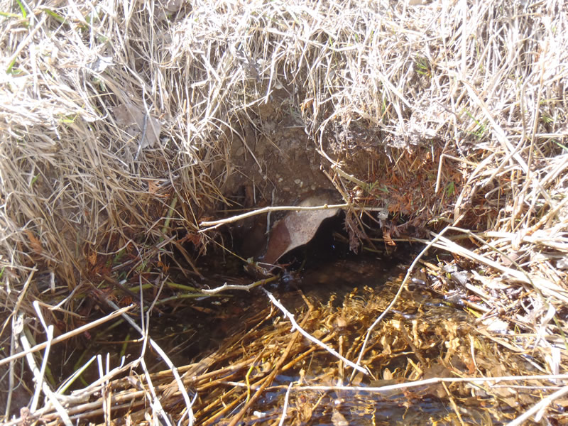
Inlet
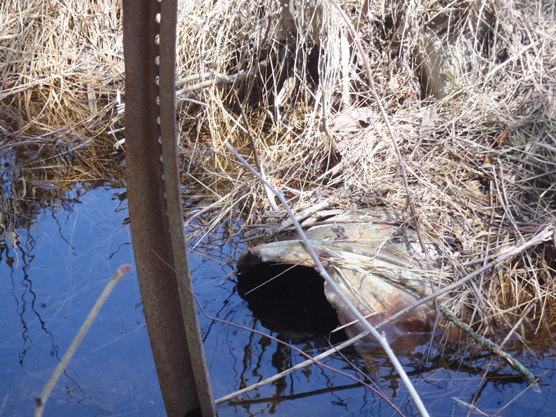
Outlet
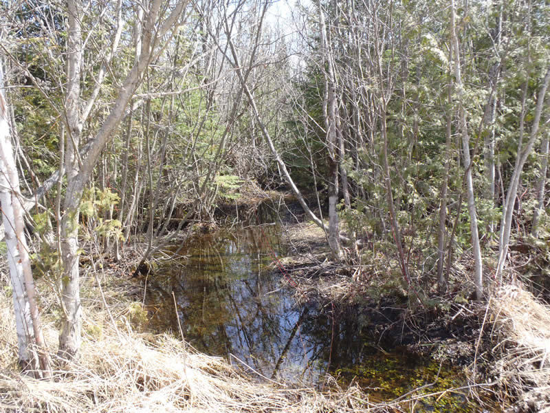
Upstream Conditions
Downstream Conditions
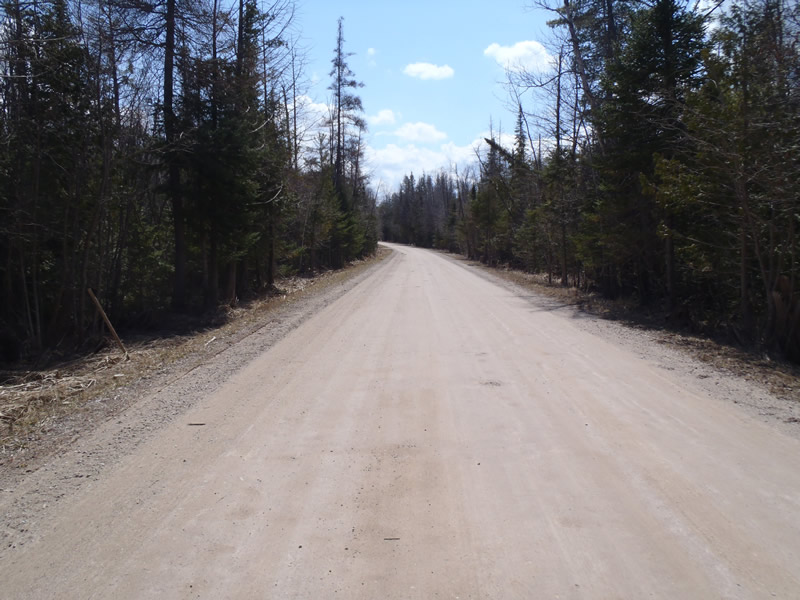
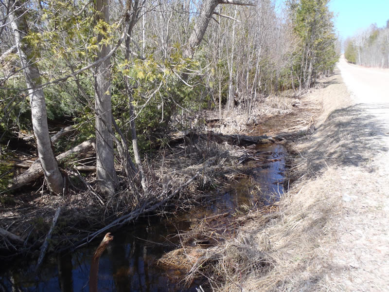
Road Approach - Left
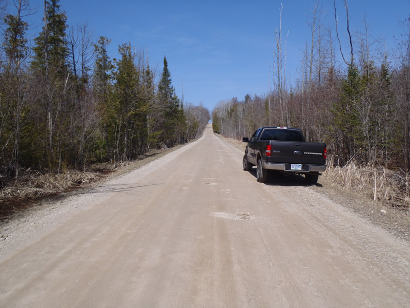
Road Approach - Right
Crossing Information
Type of Crossing: culvert(s)
Number of Structures: 1
Structure Shape: Round
Inlet Type: Projecting
Outlet Type: At Stream Grade
Structure Material: Metal
Structure Substrate: Mixture
General Conditions: Fair
Structure Interior: corrugated
Dimensions of Structure: Length 30 ft.
, Width 1.5 ft.
, Height 1.5 ft.
Percentage Plugged:
Inlet: 76% to 100%
Structure is NOT Perched
Structure Inlet
Water Depth: 0.48 ft.
Embedded Depth of Structure: 1 ft.
Water Velocity*: 1.1 ft./sec.
Structure Outlet
Water Depth: 1.06 ft.
Embedded Depth of Structure: 0.1 ft.
Water Velocity*: 0.3 ft./sec.
*Water Velocities were measured 0.3 ft. below Surface
(with Meter)
Stream Information
Stream Flow: Less than Bankfull
Scour Pool: Length 8 ft.
, Width 8 ft.
, Depth 1.4 ft.
Riffle Information
Water Depth: 0.26 ft.
Bankfull Width: 4.14 ft.
Wetted Width: 3.69 ft.
Water Velocity: 0.8 ft./sec.
(Measured with Meter)
Dominant Substrate: Sand
Road Information
Gravel
County Road
(Seasonal)
Road Condition: Fair
Road Width at Culvert: 24 ft.
Location of Low Point: At Stream
Runoff Path: Ditch
Embankments
Upstream
Fill Depth: 2.5 ft.
Slope: Vertical
Downstream
Fill Depth: 3 ft.
Slope: Vertical
Approaches
Left Approach
Length: 453 ft.
Slope: Less Than 1%
Vegetation: Heavy
LS Factor: 0.05
Erosion: 0.1498 tons/year
Right Approach
Length: 1000 ft.
Slope: 6% to 10%
Vegetation: Heavy
LS Factor: 2.05
Erosion: 13.5537 tons/year
Erosion Information
Total Erosion at Crossing: 13.7035 tons/year
Extent of Erosion: Minor
Summary Information
Fish Passability 0.9
�