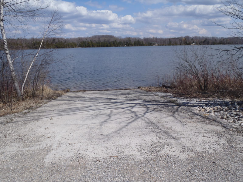
Road Stream Crossing Site CHAR_MA10
Lake Charlevoix Watershed, Nowland Lake
Unimproved access Road off Wickersham Rd
Marion Twp,
Charlevoix County
Information collected by:
Site Location
GPS Coordinates: 45.24174
, -85.22489
T33N
R08W
Sec 24
Owned by Private
State
State
Severity: Minor
Year Inventoried: 2011
Site ID
Site ID
Crossing Information
Type of Crossing: Contact Point
General Conditions: Good
Additional Comments
Public Boat Launch/access
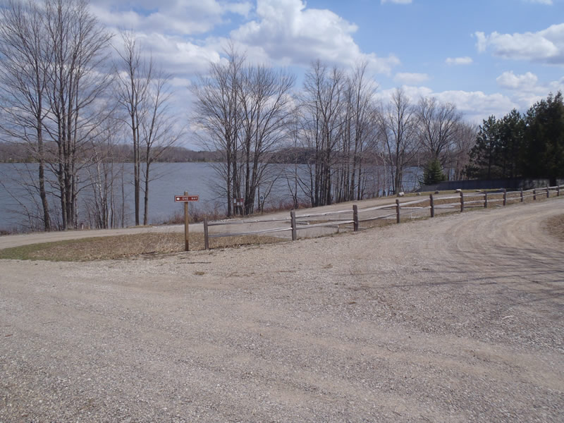
Road Information
Paved
County Road
Road Condition: Good
Road Width at Culvert: 18 ft.
Location of Low Point: At Stream
Runoff Path: Roadway
Length: 43 ft.
Slope: 1% to 5%
Vegetation: Heavy
Erosion Information
Extent of Erosion: Minor
Summary Information
�