Road Stream Crossing Site CHAR_MA12
Lake Charlevoix Watershed, Stover Creek
Klooster Rd
Marion Twp,
Charlevoix County
Information collected by:
Site Location
GPS Coordinates: 45.24998
, -85.29231
T33N
R08W
Sec 21
Owned by Private
Perch Height: 0.5 ft.
Total Erosion: 3.1819 tons/year
Severity: Severe
Year Inventoried: 2011
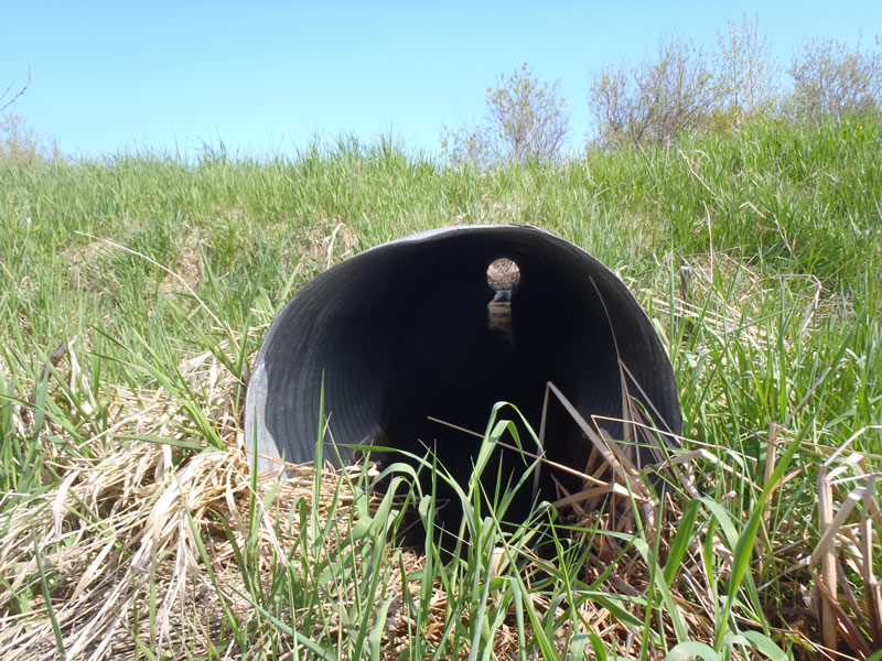
Inlet
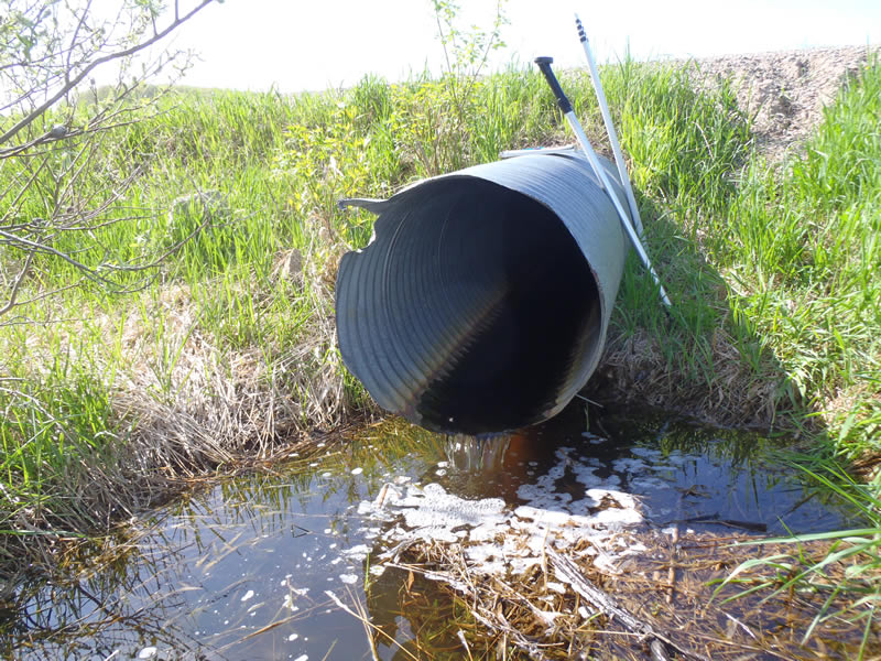
Outlet
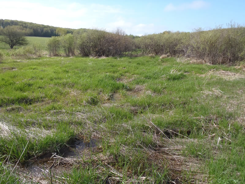
Upstream Conditions
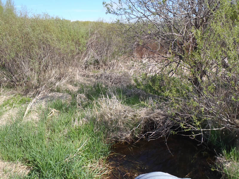
Downstream Conditions
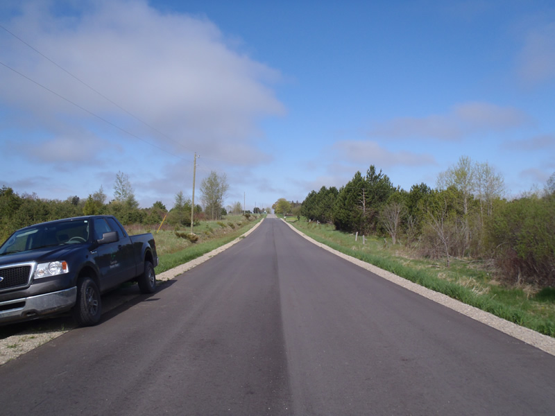
Road Approach - Left
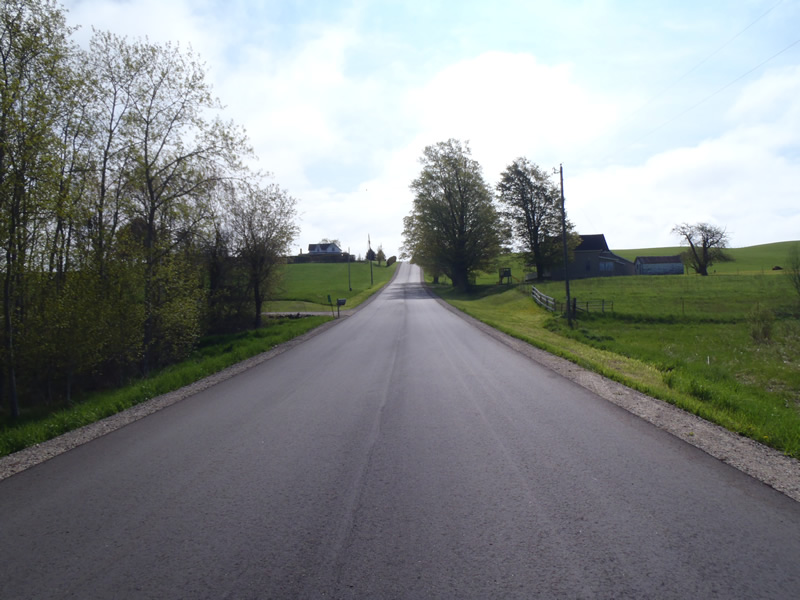
Road Approach - Right
Crossing Information
Type of Crossing: culvert(s)
Number of Structures: 1
Structure Shape: Round
Inlet Type: Projecting
Outlet Type: Freefall into Pool
Structure Material: Metal
Structure Substrate: None
General Conditions: Fair
Structure Interior: corrugated
Dimensions of Structure: Length 50 ft.
, Width 2.5 ft.
, Height 2.5 ft.
Perch Height: 0.5 ft.
Structure Inlet
Water Depth: 0.27 ft.
Embedded Depth of Structure: 0 ft.
Water Velocity*: 0.05 ft./sec.
Structure Outlet
Water Depth: 0.1 ft.
Embedded Depth of Structure: 0 ft.
Water Velocity*: 0.9 ft./sec.
*Water Velocities were measured at the Surface
(with Meter)
Additional Comments
Riffle informatio could not be collected because both upstream and downstream conditions are marsh
Stream Information
Stream Flow: Less than Bankfull
Scour Pool: Length 9 ft.
, Width 7 ft.
, Depth 1.96 ft.
Road Information
Paved
County Road
Road Condition: Good
Road Width at Culvert: 25 ft.
Location of Low Point: At Stream
Runoff Path: Ditch
Embankments
Upstream
Fill Depth: 2 ft.
Slope: 1:2
Downstream
Fill Depth: 2 ft.
Slope: 1:1.5
Approaches
Left Approach
Length: 1000 ft.
Slope: 6% to 10%
Vegetation: Heavy
LS Factor: 2.05
Erosion: 1.6942 tons/year
Right Approach
Length: 906 ft.
Slope: 6% to 10%
Vegetation: Heavy
LS Factor: 1.984
Erosion: 1.4857 tons/year
Erosion Information
Total Erosion at Crossing: 3.1819 tons/year
Extent of Erosion: Minor
Erosion is occurring and corrective actions can be installed to address the problem.
Notes: Embankment has erosion caused by road runoff
Location of Erosion | Erosion Dimensions | Eroded Material | Material Eroded | Total Erosion | ||
facing downstream | Length | Width | Depth | Reaching Stream? | (tons/year) | |
Left Downstream Embankment |
4 ft. |
2 ft. |
0.5 ft. |
yes |
Gravelly Loam |
0.002 |
Summary Information
�