Road Stream Crossing Site CHAR_MA15
Lake Charlevoix Watershed, Stover Creek tributary
Klooster Rd
Marion Twp,
Charlevoix County
Information collected by:
Site Location
GPS Coordinates: 45.24268
, -85.2813
T33N
R08W
Sec 22
Owned by Private
Fish Passability 0.5
Structure is NOT Perched
Total Erosion: 27.883 tons/year
Severity: Severe
Year Inventoried: 2011
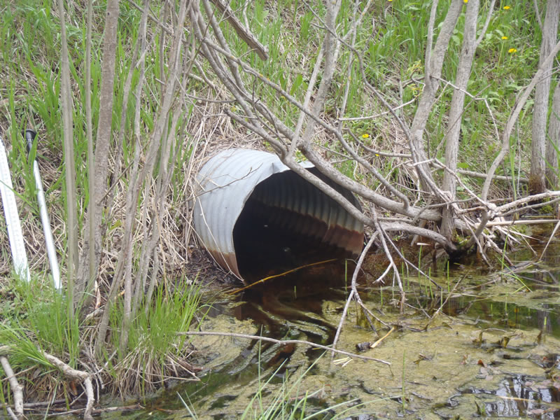
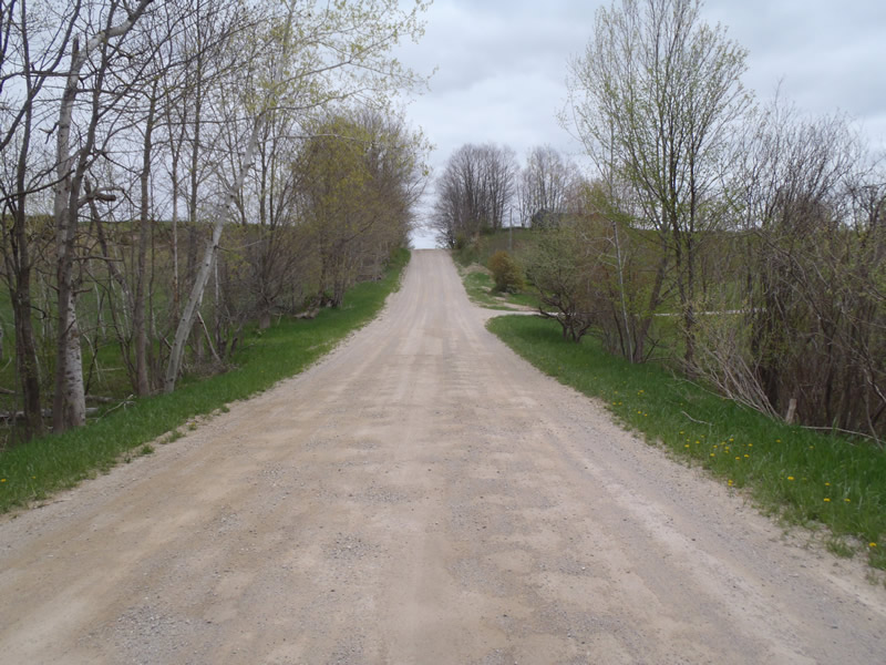
Inlet
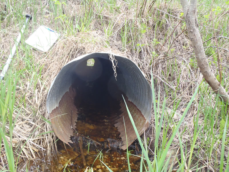
Outlet
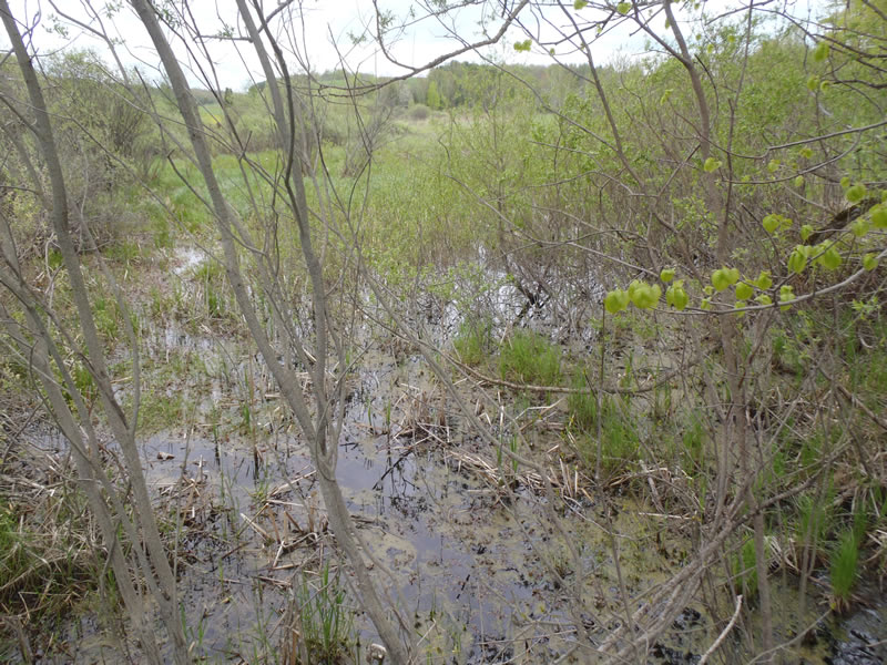
Upstream Conditions
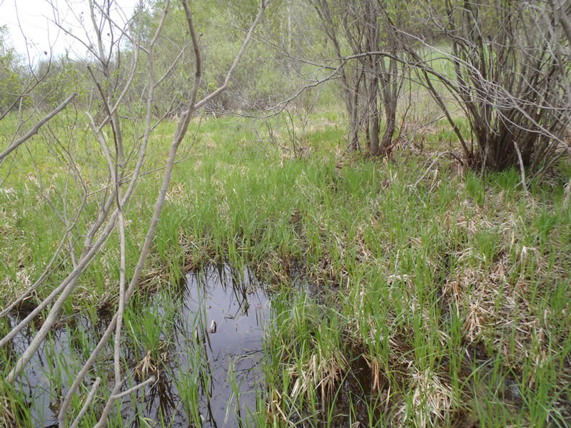
Downstream Conditions
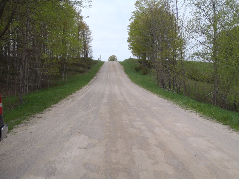
Road Approach - Left
Road Approach - Right
Crossing Information
Type of Crossing: culvert(s)
Number of Structures: 1
Structure Shape: Round
Inlet Type: Projecting
Outlet Type: At Stream Grade
Structure Material: Metal
Structure Substrate: None
General Conditions: Poor
Structure Interior: corrugated
Structure is Rusted through
Dimensions of Structure: Length 50 ft.
, Width 2 ft.
, Height 2 ft.
Structure is NOT Perched
Structure Inlet
Water Depth: 0.5 ft.
Embedded Depth of Structure: 0 ft.
Water Velocity*: 0.05 ft./sec.
Structure Outlet
Water Depth: 0.13 ft.
Embedded Depth of Structure: 0 ft.
Water Velocity*: 0.7 ft./sec.
*Water Velocities were measured at the Surface
(with Meter)
Stream Information
Stream Flow: Less than Bankfull
Riffle Information
Water Depth: 0.44 ft.
Bankfull Width: 1.5 ft.
Wetted Width: 1 ft.
Water Velocity: 0.6 ft./sec.
(Measured with Meter)
Dominant Substrate: Organics
Road Information
Gravel
County Road
Road Condition: Fair
Road Width at Culvert: 20 ft.
Location of Low Point: At Stream
Runoff Path: Ditch
Embankments
Upstream
Fill Depth: 6 ft.
Slope: Vertical
Downstream
Fill Depth: 5.2 ft.
Slope: Vertical
Approaches
Left Approach
Length: 489 ft.
Slope: More Than 10%
Vegetation: Heavy
LS Factor: 4.303
Erosion: 11.5937 tons/year
Right Approach
Length: 621 ft.
Slope: More Than 10%
Vegetation: Heavy
LS Factor: 4.761
Erosion: 16.2894 tons/year
Erosion Information
Total Erosion at Crossing: 27.883 tons/year
Summary Information
Fish Passability 0.5
�