Road Stream Crossing Site CHAR_MA16
Lake Charlevoix Watershed, Unknown
Shaw Rd
Marion Twp,
Charlevoix County
Information collected by:
Site Location
GPS Coordinates: 45.27174
, -85.22491
T33N
R08W
Sec 12
Owned by Private
Structure is NOT Perched
Total Erosion: 0.2871 tons/year
Severity: Moderate
Year Inventoried: 2011
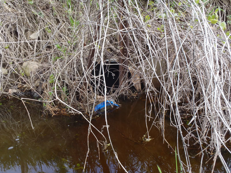
Inlet
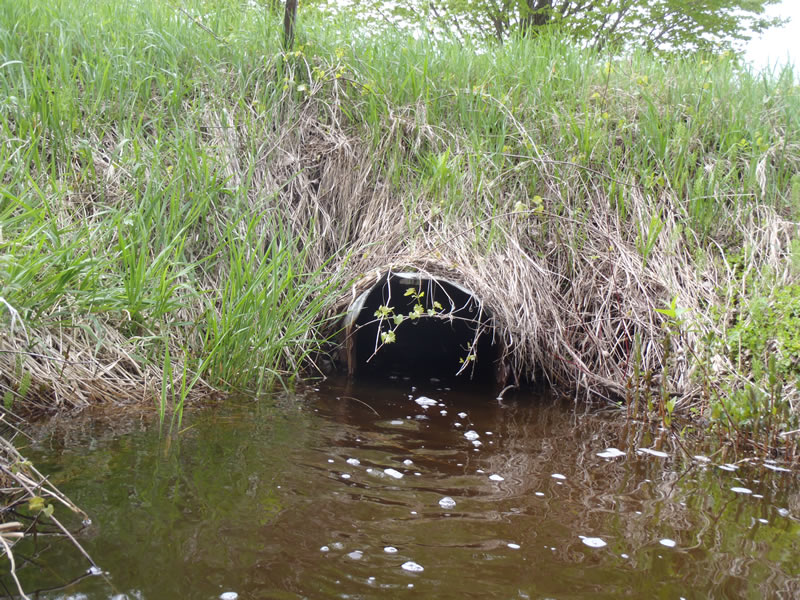
Outlet
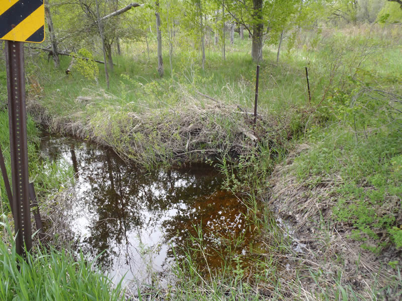
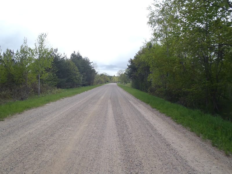
Upstream Conditions
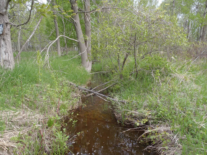
Downstream Conditions
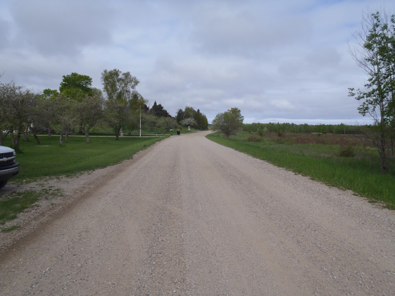
Road Approach - Left
Road Approach - Right
Crossing Information
Type of Crossing: culvert(s)
Number of Structures: 1
Structure Shape: Round
Inlet Type: Projecting
Outlet Type: At Stream Grade
Structure Material: Metal
Structure Substrate: None
General Conditions: Fair
Structure Interior: corrugated
Structure is Rusted through
Dimensions of Structure: Length 40 ft.
, Width 2 ft.
, Height 2 ft.
Structure is NOT Perched
Structure Inlet
Water Depth: 0.78 ft.
Embedded Depth of Structure: 0 ft.
Water Velocity*: 0.7 ft./sec.
Structure Outlet
Water Depth: 0.85 ft.
Embedded Depth of Structure: 0 ft.
Water Velocity*: 0.5 ft./sec.
*Water Velocities were measured 0.45 ft. below Surface
(with Meter)
Stream Information
Stream Flow: Less than Bankfull
Upstream Pond: Length 10 ft.
, Width 10 ft.
, Depth 1.1 ft.
Riffle Information
Water Depth: 0.16 ft.
Bankfull Width: 4.5 ft.
Wetted Width: 4 ft.
Water Velocity: 1.3 ft./sec.
(Measured with Meter)
Dominant Substrate: Gravel
Road Information
Gravel
County Road
Road Condition: Good
Road Width at Culvert: 24 ft.
Location of Low Point: At Stream
Runoff Path: Ditch
Embankments
Upstream
Fill Depth: 4.2 ft.
Slope: Vertical
Downstream
Fill Depth: 4.5 ft.
Slope: Vertical
Approaches
Left Approach
Length: 226.5 ft.
Slope: Less Than 1%
Vegetation: Heavy
LS Factor: 0.05
Erosion: 0.0749 tons/year
Right Approach
Length: 642 ft.
Slope: Less Than 1%
Vegetation: Heavy
LS Factor: 0.05
Erosion: 0.2122 tons/year
Erosion Information
Total Erosion at Crossing: 0.2871 tons/year
Extent of Erosion: Moderate
Summary Information
Erosion is an area of concern for this site.
�