Road Stream Crossing Site CHAR_MA18
Lake Charlevoix Watershed, Unknown
Old Railroad off M-66
Marion Twp,
Charlevoix County
Information collected by:
Site Location
GPS Coordinates: 45.27551
, -85.22213
T33N
R08W
Sec 12
Owned by Private
Structure is NOT Perched
Total Erosion: 0.0688 tons/year
Severity: Minor
Year Inventoried: 2011
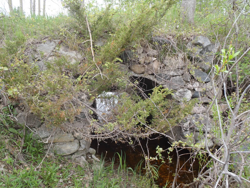
Inlet
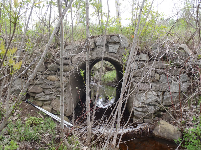
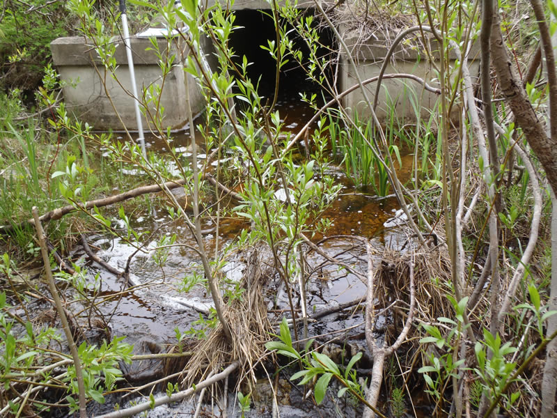
Outlet
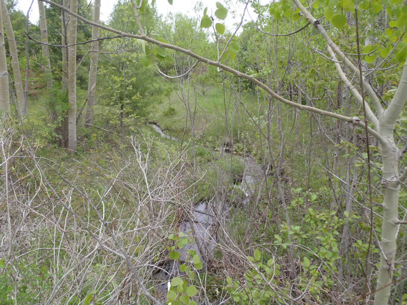
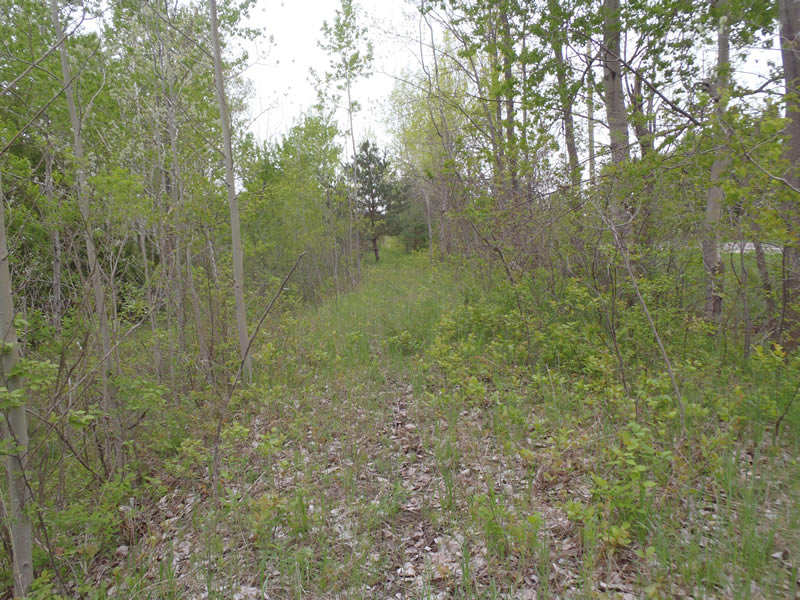
Upstream Conditions
Downstream Conditions
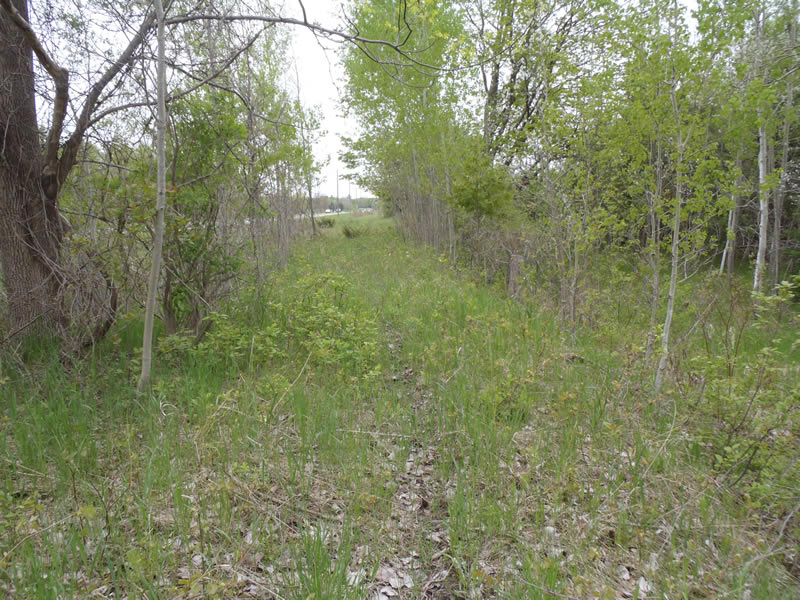
Road Approach - Left
Road Approach - Right
Crossing Information
Type of Crossing: culvert(s)
Number of Structures: 1
Structure Shape: Open Bottom Square/Rectangle
Inlet Type: Headwall
Outlet Type: At Stream Grade
Structure Material: Concrete
Structure Substrate: Mixture
General Conditions: Poor
Structure Interior: smooth
Dimensions of Structure: Length 23 ft.
, Width 5.5 ft.
, Height 5.5 ft.
Structure is NOT Perched
Structure Inlet
Water Depth: 0.51 ft.
Embedded Depth of Structure: 0 ft.
Water Velocity*: 1.3 ft./sec.
Structure Outlet
Water Depth: 0.7 ft.
Embedded Depth of Structure: 0 ft.
Water Velocity*: 0.4 ft./sec.
*Water Velocities were measured 0.35 ft. below Surface
(with Meter)
Stream Information
Stream Flow: Less than Bankfull
Riffle Information
Water Depth: 0.25 ft.
Bankfull Width: 5.6 ft.
Wetted Width: 4.7 ft.
Water Velocity: 1.9 ft./sec.
(Measured with Meter)
Dominant Substrate: Cobble
Road Information
Native Surface
Other Road
Road Condition: Good
Road Width at Culvert: 23 ft.
Location of Low Point: Other
Runoff Path: Ditch
Embankments
Upstream
Fill Depth: 4 ft.
Slope: Vertical
Downstream
Fill Depth: 4 ft.
Slope: Vertical
Approaches
Left Approach
Length: 87 ft.
Slope: Less Than 1%
Vegetation: Heavy
LS Factor: 0.05
Erosion: 0.0276 tons/year
Right Approach
Length: 124.5 ft.
Slope: Less Than 1%
Vegetation: Partial
LS Factor: 0.05
Erosion: 0.0394 tons/year
Erosion Information
Total Erosion at Crossing: 0.0688 tons/year
Extent of Erosion: Minor
Erosion is occurring and corrective actions can be installed to address the problem.
Notes:
Embankment can be stabilized with vegetation.
Location of Erosion | Erosion Dimensions | Eroded Material | Material Eroded | Total Erosion | ||
facing downstream | Length | Width | Depth | Reaching Stream? | (tons/year) | |
Right Downstream Embankment |
19 ft. |
1 ft. |
0.1 ft. |
yes |
Sandy Loam |
0.0018 |
Summary Information
Erosion is an area of concern for this site.
A future visit to this site is recommended.
To assess the structural stability of the structure and to re-vegetate.
�