Road Stream Crossing Site CHAR_MA14
Lake Charlevoix Watershed, Stover Creek
Ferry Rd
Marion Twp,
Charlevoix County
Information collected by:
Site Location
GPS Coordinates: 45.25726
, -85.28973
T33N
R08W
Sec 16
Owned by Private
Perch Height: 0.2 ft.
Total Erosion: 2.1955 tons/year
Severity: Moderate
Year Inventoried: 2011
Site ID
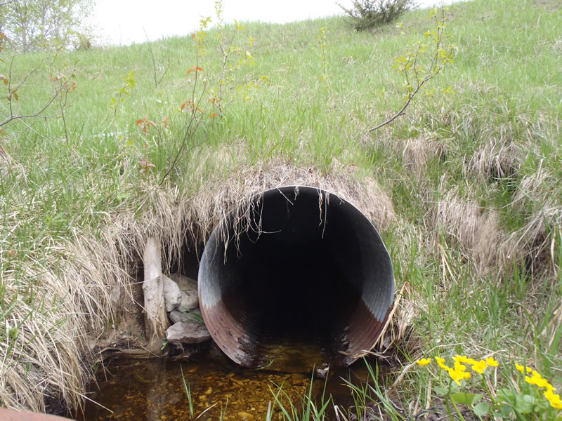
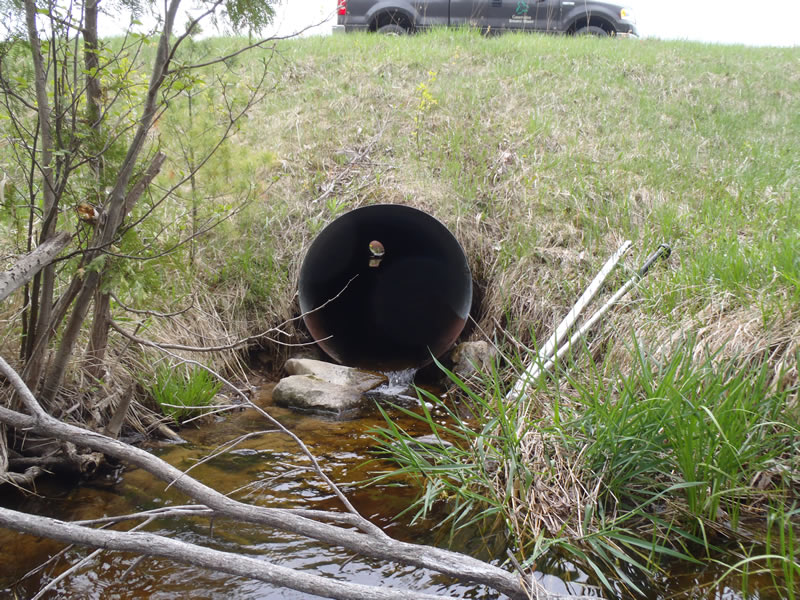
Inlet
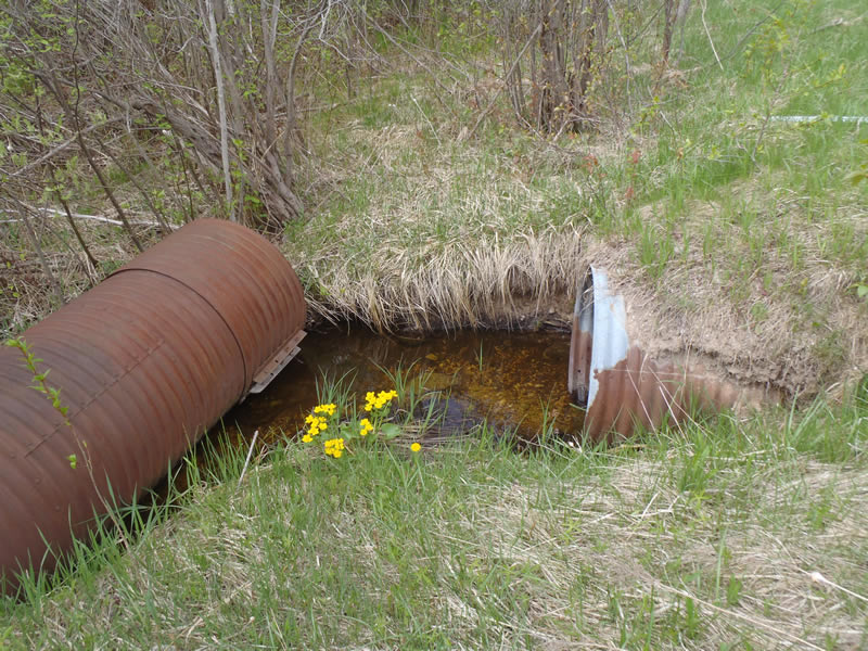
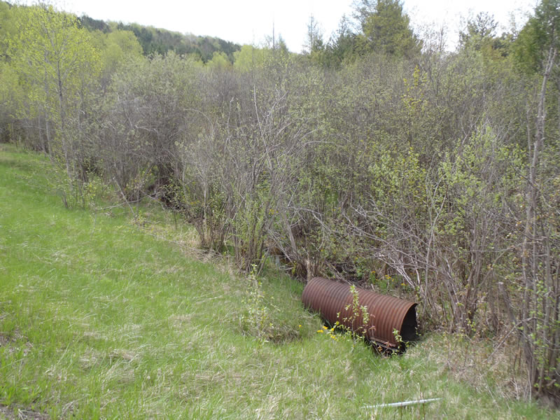
Outlet
Upstream Conditions
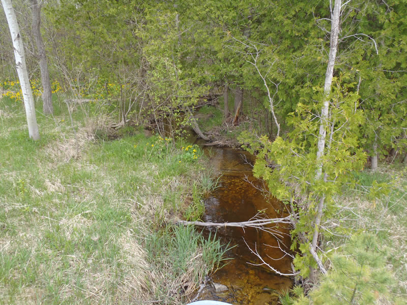
Downstream Conditions
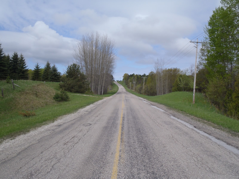
Road Approach - Left
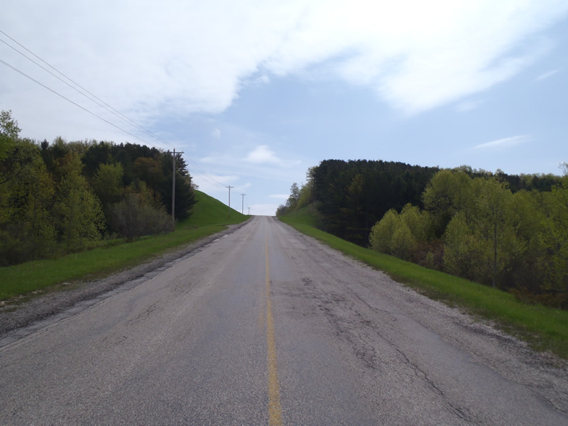
Road Approach - Right
Crossing Information
Type of Crossing: culvert(s)
Number of Structures: 1
Structure Shape: Round
Inlet Type: Projecting
Outlet Type: Freefall onto Riprap
Structure Material: Metal
Structure Substrate: None
General Conditions: Poor
Structure Interior: corrugated
Structure is Rusted through
Dimensions of Structure: Length 100 ft.
, Width 3 ft.
, Height 3 ft.
Perch Height: 0.2 ft.
Structure Inlet
Water Depth: 0.22 ft.
Embedded Depth of Structure: 0 ft.
Water Velocity*: 1.9 ft./sec.
Structure Outlet
Water Depth: 0.15 ft.
Embedded Depth of Structure: 0 ft.
Water Velocity*: 2 ft./sec.
*Water Velocities were measured at the Surface
(with Meter)
Stream Information
Stream Flow: Less than Bankfull
Scour Pool: Length 7.5 ft.
, Width 6.5 ft.
, Depth 1.4 ft.
Riffle Information
Water Depth: 0.26 ft.
Bankfull Width: 3.7 ft.
Wetted Width: 3.3 ft.
Water Velocity: 0.9 ft./sec.
(Measured with Meter)
Dominant Substrate: Sand
Road Information
Paved
County Road
Road Condition: Fair
Road Width at Culvert: 26 ft.
Location of Low Point: Other
Runoff Path: Ditch
Embankments
Upstream
Fill Depth: 22 ft.
Slope: 1:1.5
Downstream
Fill Depth: 15 ft.
Slope: Vertical
Approaches
Left Approach
Length: 50 ft.
Slope: Less Than 1%
Vegetation: Heavy
LS Factor: 0.05
Erosion: 0.0021 tons/year
Right Approach
Length: 560 ft.
Slope: More Than 10%
Vegetation: Heavy
LS Factor: 4.557
Erosion: 2.1934 tons/year
Erosion Information
Total Erosion at Crossing: 2.1955 tons/year
Summary Information
A future visit to this site is recommended. To remove old culvert tube from downstream flow
�