Road Stream Crossing Site BEAR_BC098
Bear Creek Watershed, Tributary of Halls Creek
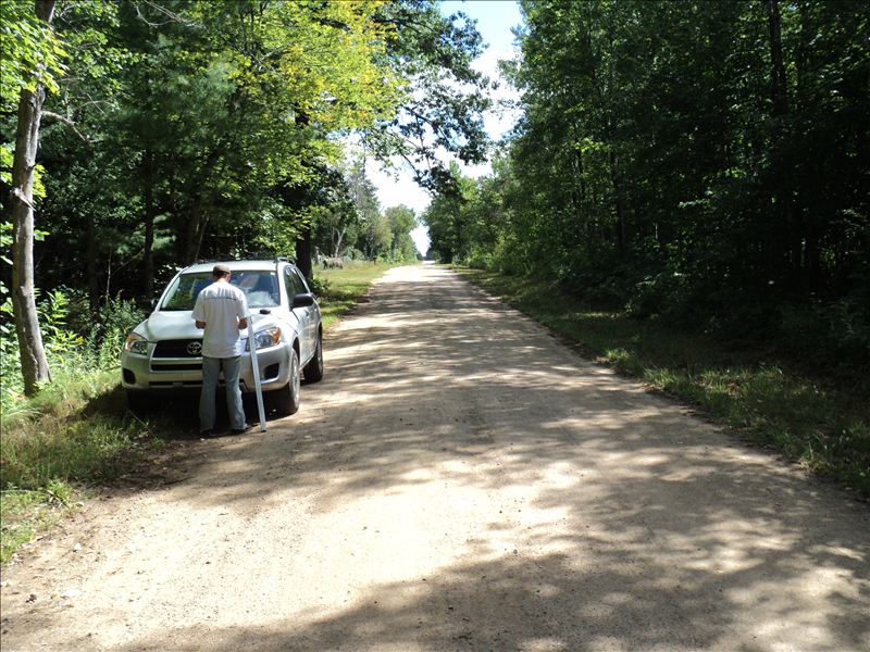
Lahti Rd
Maple Grove Twp,
Manistee County
Information collected by:
Site Location
GPS Coordinates: 44.39199
, -86.041617
T23N
R14W
Sec 18
Owned by Private
Structure is NOT Perched
Total Erosion: 5.6089 tons/year
Severity: Moderate
Year Inventoried: 2011
Contact Point
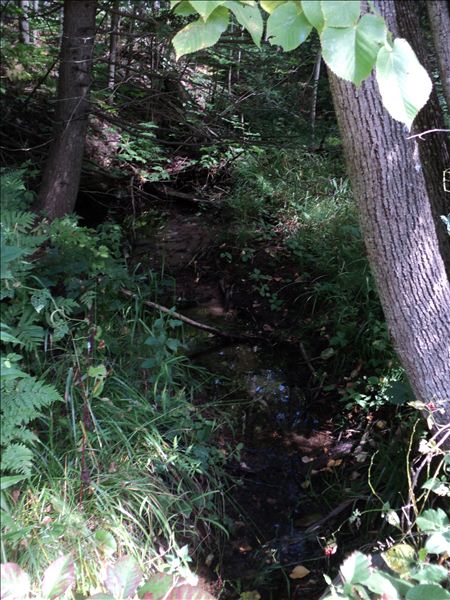
Upstream Conditions
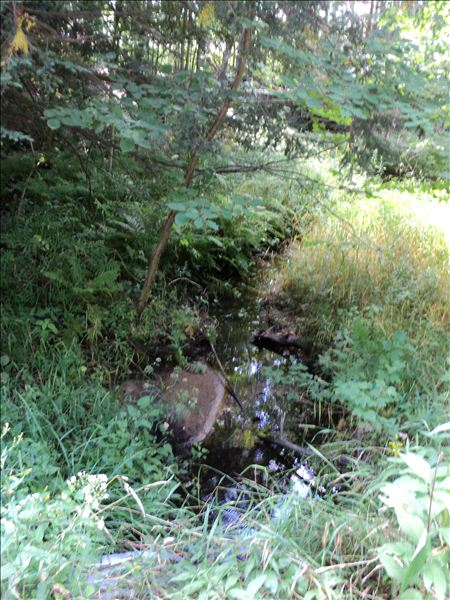
Downstream Conditions
Road Approach - Left
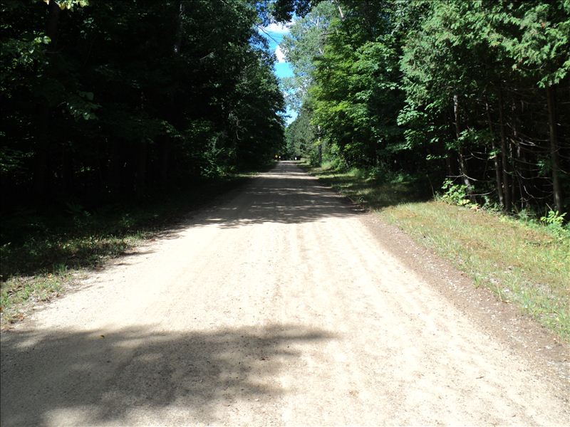
Road Approach - Right
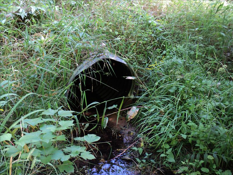
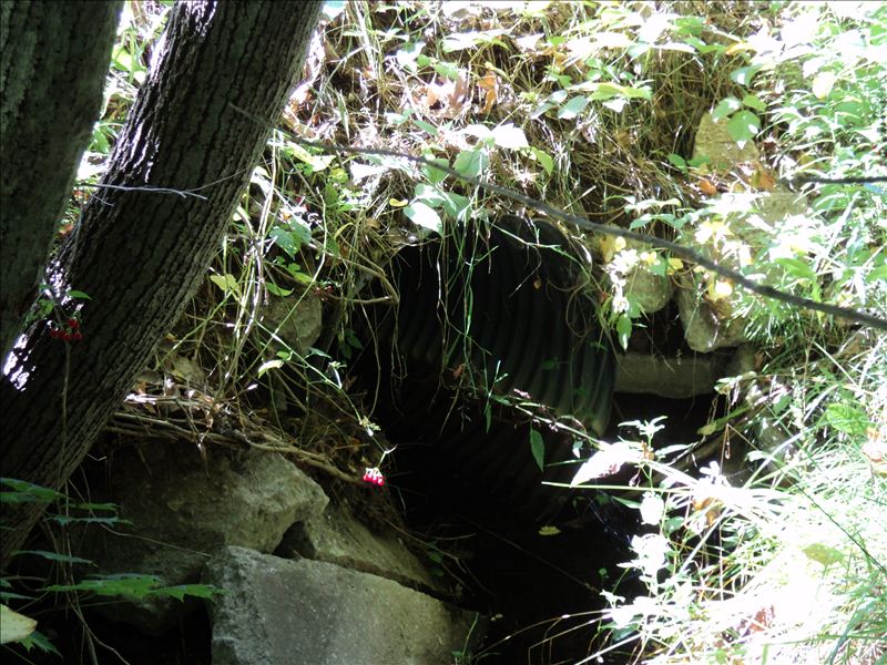
Outlet
Crossing Information
Type of Crossing: culvert(s)
Number of Structures: 1
Structure Shape: Round
Inlet Type: Projecting
Outlet Type: At Stream Grade
Structure Material: Metal
Structure Substrate: None
General Conditions: Fair
Structure Interior: corrugated
Dimensions of Structure: Length 31 ft.
, Width 3 ft.
, Height 3 ft.
Structure is NOT Perched
Structure Inlet
Water Depth: 0.2 ft.
Embedded Depth of Structure: 0 ft.
Water Velocity*: 0.4 ft./sec.
Structure Outlet
Water Depth: 0.2 ft.
Embedded Depth of Structure: 0 ft.
Water Velocity*: 0.2 ft./sec.
*Water Velocities were measured 0.3 ft. below Surface
(with Meter)
Stream Information
Stream Flow: Less than Bankfull
Riffle Information
Water Depth: 0.1 ft.
Bankfull Width: 6 ft.
Wetted Width: 4.2 ft.
Water Velocity: 0.2 ft./sec.
(Measured with Meter)
Dominant Substrate: Gravel
Road Information
Gravel
County Road
Road Condition: Good
Road Width at Culvert: 17 ft.
Location of Low Point: At Stream
Runoff Path: Roadway
Embankments
Upstream
Fill Depth: 1.8 ft.
Slope: Vertical
Downstream
Fill Depth: 1.8 ft.
Slope: 1:2
Approaches
Left Approach
Length: 250 ft.
Slope: Less Than 1%
Vegetation: Heavy
LS Factor: 1.538
Erosion: 2.9395 tons/year
Right Approach
Length: 250 ft.
Slope: Less Than 1%
Vegetation: Heavy
LS Factor: 0.57
Erosion: 2.6694 tons/year
Erosion Information
Total Erosion at Crossing: 5.6089 tons/year
Extent of Erosion: Minor
Summary Information
Erosion is an area of concern for this site.
�