Road Stream Crossing Site BEAR_BC099
Bear Creek Watershed, Boswell Creek
High Bridge Rd (County Road 669)
Dickson Twp,
Manistee County
Information collected by:
Site Location
GPS Coordinates: 44.31475
, -86.02094
T22N
R14W
Sec 8
Owned by Private
Fish Passability 0.9
Structure is NOT Perched
Total Erosion: 0.1157 tons/year
Severity: Minor
Year Inventoried: 2011
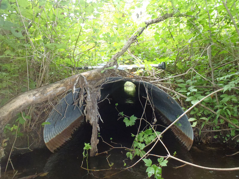
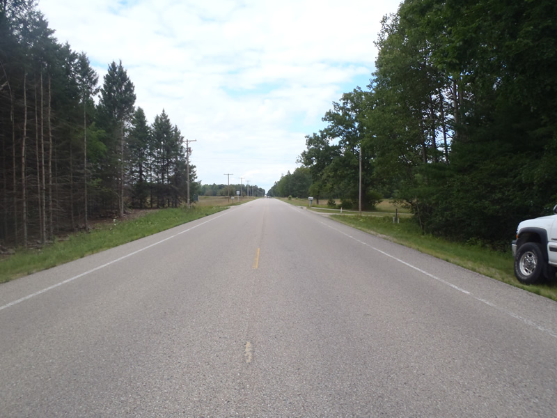
Inlet
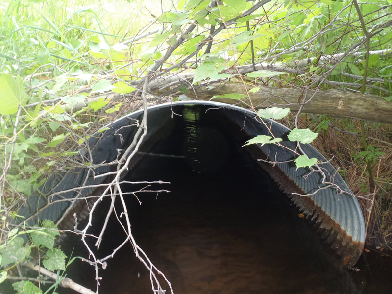
Outlet
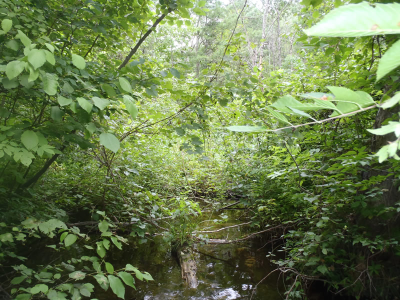
Upstream Conditions
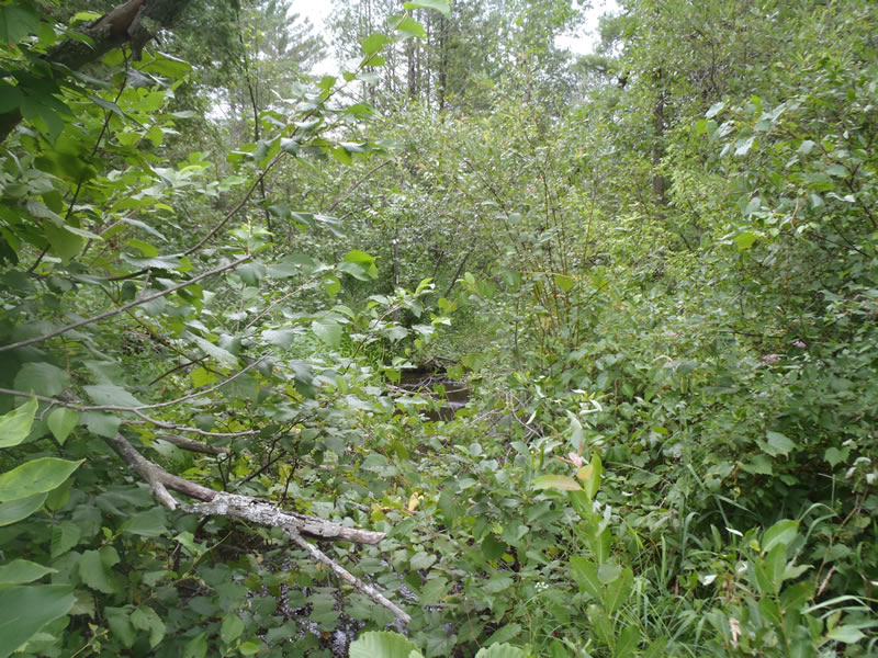
Downstream Conditions
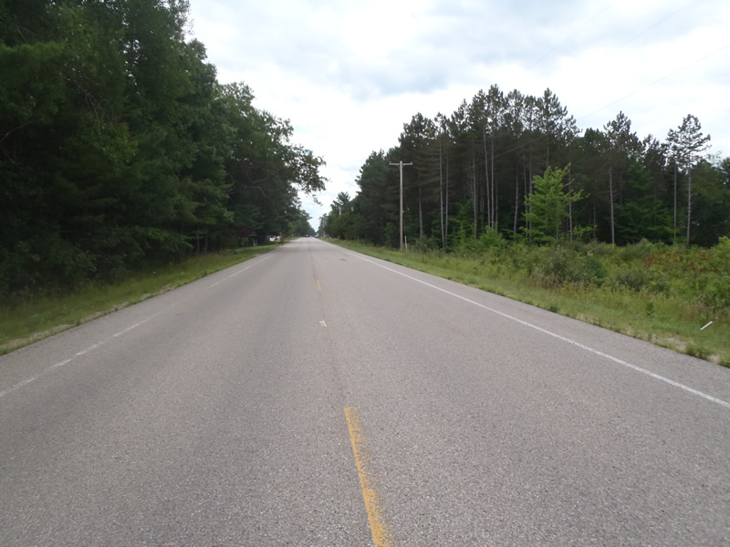
Road Approach - Left
Road Approach - Right
Crossing Information
Type of Crossing: culvert(s)
Number of Structures: 1
Structure Shape: Pipe Arch
Inlet Type: Projecting
Outlet Type: At Stream Grade
Structure Material: Metal
Structure Substrate: Sand
General Conditions: Fair
Structure Interior: corrugated
Dimensions of Structure: Length 90 ft.
, Width 5.5 ft.
, Height 3.5 ft.
Percentage Crushed:
In Pipe: 1% to 25%
Structure is NOT Perched
Structure Inlet
Water Depth: 0.69 ft.
Embedded Depth of Structure: 0 ft.
Water Velocity*: 0.4 ft./sec.
Structure Outlet
Water Depth: 0.55 ft.
Embedded Depth of Structure: 0 ft.
Water Velocity*: 0.6 ft./sec.
*Water Velocities were measured 0.33 ft. below Surface
(with Meter)
Stream Information
Stream Flow: Less than Bankfull
Riffle Information
Water Depth: 0.34 ft.
Bankfull Width: 11.6 ft.
Wetted Width: 8.8 ft.
Water Velocity: 0.9 ft./sec.
(Measured with Meter)
Dominant Substrate: Sand
Road Information
Paved
County Road
Road Condition: Good
Road Width at Culvert: 35 ft.
Location of Low Point: At Stream
Runoff Path: Ditch
Embankments
Upstream
Fill Depth: 7.5 ft.
Slope: 1:1.5
Downstream
Fill Depth: 7.5 ft.
Slope: 1:1.5
Approaches
Left Approach
Length: 1000 ft.
Slope: Less Than 1%
Vegetation: Heavy
LS Factor: 0.05
Erosion: 0.0579 tons/year
Right Approach
Length: 1000 ft.
Slope: Less Than 1%
Vegetation: Heavy
LS Factor: 0.05
Erosion: 0.0579 tons/year
Erosion Information
Total Erosion at Crossing: 0.1157 tons/year
Summary Information
Fish Passability 0.9
�