Road Stream Crossing Site BEAR_BC022
Bear Creek Watershed, Third Creek
Unimproved Road west of Thompsonville Rd
Springdale Twp,
Manistee County
Information collected by:
Site Location
GPS Coordinates: 44.4585
, -85.94742
T24N
R14W
Sec 24
Owned by State
Fish Passability 1
Structure is NOT Perched
Total Erosion: 1.3656 tons/year
Severity: Moderate
Year Inventoried: 2011
Inlet
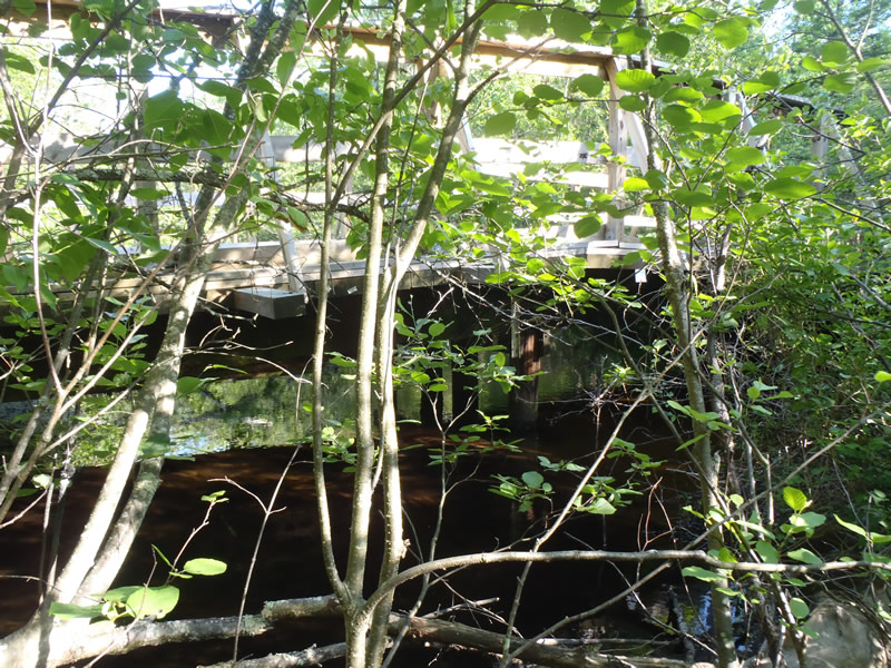
Outlet
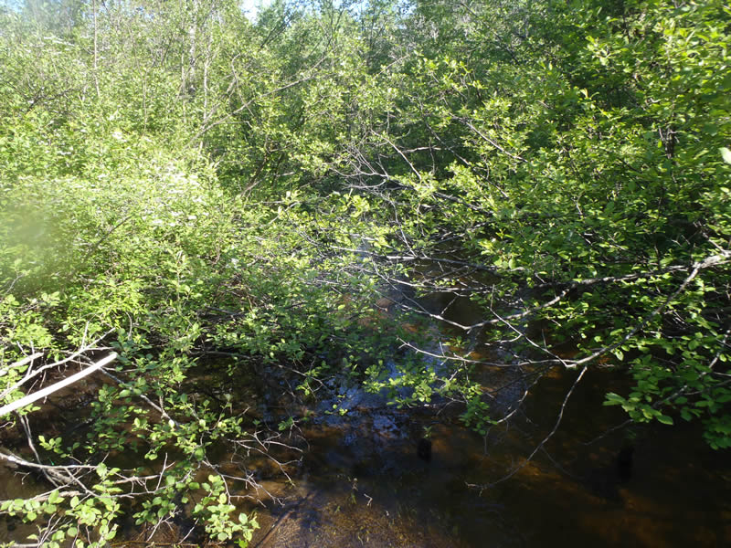
Upstream Conditions
Downstream Conditions
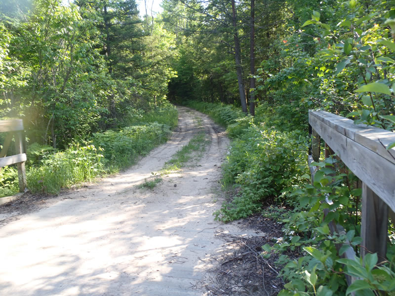
Road Approach - Left
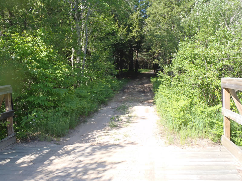
Road Approach - Right
Crossing Information
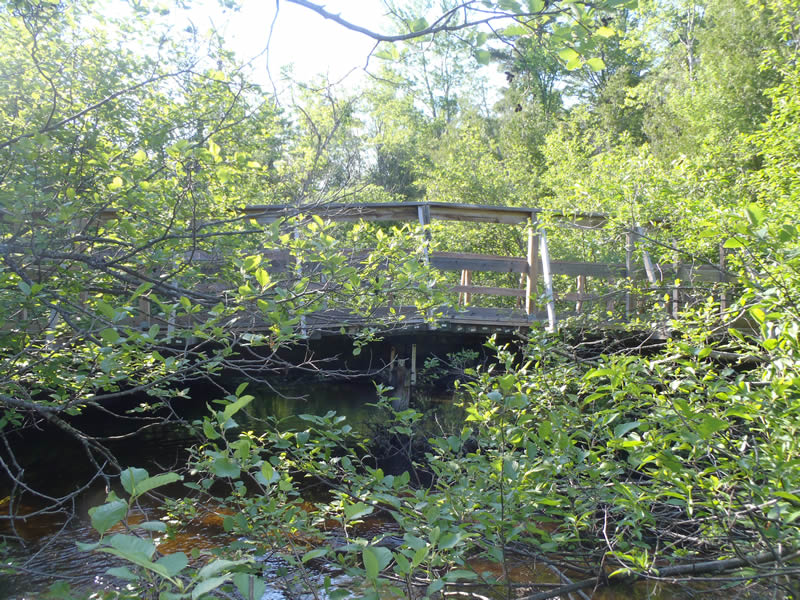
Type of Crossing: Bridge
Structure Shape: Open Bottom Square/Rectangle
Inlet Type: Other
Outlet Type: Outlet Apron
Structure Material: Wood
Structure Substrate: Sand
General Conditions: Good
Structure Interior: smooth
Dimensions of Structure: Length 16 ft.
, Width 45 ft.
, Height 4.87 ft.
Structure is NOT Perched
Structure Inlet
Water Depth: 1.25 ft.
Embedded Depth of Structure: 0 ft.
Water Velocity*: 1.4 ft./sec.
Structure Outlet
Water Depth: 0.95 ft.
Embedded Depth of Structure: 0 ft.
Water Velocity*: 1.5 ft./sec.
*Water Velocities were measured 0.57 ft. below Surface
(with Meter)
Stream Information
Stream Flow: Less than Bankfull
Riffle Information
Water Depth: 0.4 ft.
Bankfull Width: 23 ft.
Wetted Width: 22 ft.
Water Velocity: 1 ft./sec.
(Measured with Meter)
Dominant Substrate: Sand
Road Information
Sand
State Road
(Seasonal)
Road Condition: Fair
Road Width at Culvert: 13 ft.
Location of Low Point: Other
Runoff Path: Ditch
Fill Depth: 0 ft.
Slope: 1:1
Fill Depth: 0 ft.
Slope: 1:1
Approaches
Left Approach
Length: 414 ft.
Slope: 1% to 5%
Vegetation: Heavy
LS Factor: 0.483
Erosion: 0.7158 tons/year
Right Approach
Length: 381 ft.
Slope: 1% to 5%
Vegetation: Heavy
LS Factor: 0.476
Erosion: 0.6498 tons/year
Erosion Information
Total Erosion at Crossing: 1.3656 tons/year
Summary Information
Fish Passability 1
�