Road Stream Crossing Site BEAR_BC024
Bear Creek Watershed, Big Bear Creek
Leffew Rd
Springdale Twp,
Manistee County
Information collected by:
Site Location
GPS Coordinates: 44.45601
, -86.03153
T24N
R14W
Sec 29
Owned by State
Structure is NOT Perched
Total Erosion: 0.3216 tons/year
Severity: Minor
Year Inventoried: 2011
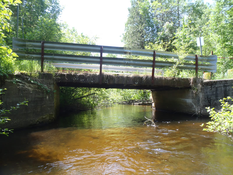
Inlet
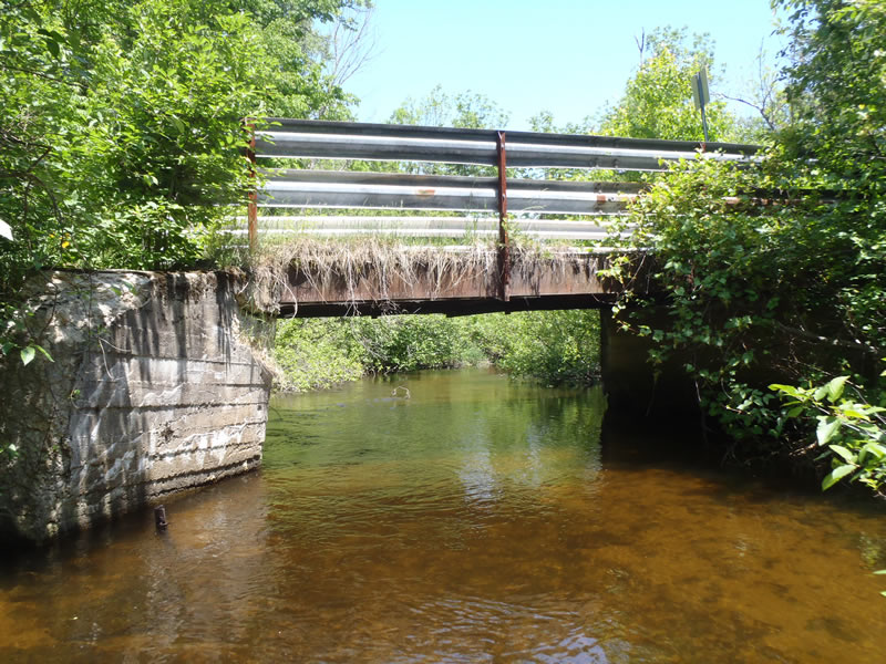
Outlet
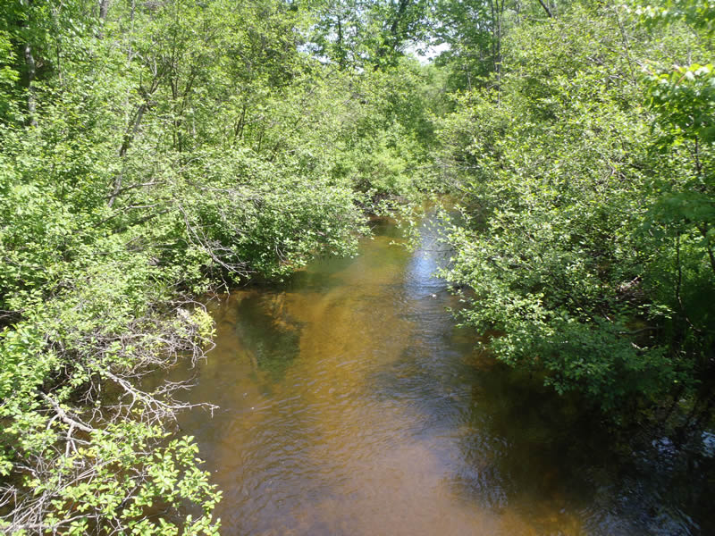
Upstream Conditions
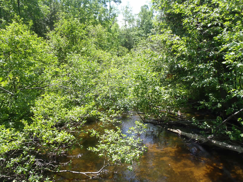
Downstream Conditions
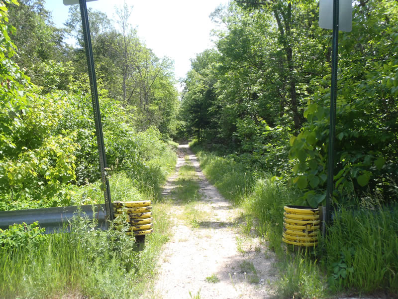
Road Approach - Left
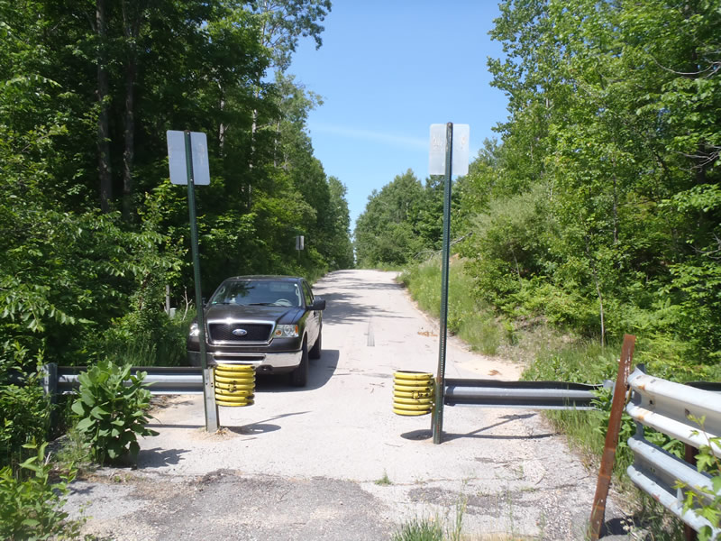
Road Approach - Right
Crossing Information
Type of Crossing: Bridge
Structure Shape: Open Bottom Square/Rectangle
Inlet Type: Wingwall 10-30 Degree
Outlet Type: At Stream Grade
Structure Material: Concrete
Structure Substrate: Sand
General Conditions: Fair
Structure Interior: smooth
Dimensions of Structure: Length 18 ft.
, Width 20 ft.
, Height 7 ft.
Structure is NOT Perched
Structure Inlet
Water Depth: 2.65 ft.
Embedded Depth of Structure: 0 ft.
Water Velocity*: 1.5 ft./sec.
Structure Outlet
Water Depth: 2.49 ft.
Embedded Depth of Structure: 0 ft.
Water Velocity*: 1.7 ft./sec.
*Water Velocities were measured 1.5 ft. below Surface
(with Meter)
Additional Comments
Bridge is closed to vehicles. The right approach is paved but the left approach is gravel.
Stream Information
Stream Flow: Less than Bankfull
Riffle Information
Water Depth: 0.8 ft.
Bankfull Width: 49 ft.
Wetted Width: 45.4 ft.
Water Velocity: 3.5 ft./sec.
(Measured with Meter)
Dominant Substrate: Cobble
Road Information
Paved
County Road
Road Condition: Fair
Road Width at Culvert: 18 ft.
Location of Low Point: At Stream
Runoff Path: Roadway
Fill Depth: 0 ft.
Slope: Vertical
Fill Depth: 0 ft.
Slope: Vertical
Approaches
Left Approach
Length: 480 ft.
Slope: 1% to 5%
Vegetation: Heavy
LS Factor: 0.496
Erosion: 0.1417 tons/year
Right Approach
Length: 585 ft.
Slope: 1% to 5%
Vegetation: Heavy
LS Factor: 0.517
Erosion: 0.18 tons/year
Erosion Information
Total Erosion at Crossing: 0.3216 tons/year
Extent of Erosion: Moderate
Summary Information
Erosion is an area of concern for this site.
�