Road Stream Crossing Site BEAR_BC026
Bear Creek Watershed, First tributary of Lemon Creek
County Rd 669/ Healy Lake Rd
Springdale Twp,
Manistee County
Information collected by:
Site Location
GPS Coordinates: 44.4331185993931
, -86.0100089013577
T24N
R14W
Sec 33
Owned by Private
State
State
Structure is NOT Perched
Total Erosion: 0.0779 tons/year
Severity: Moderate
Year Inventoried: 2011
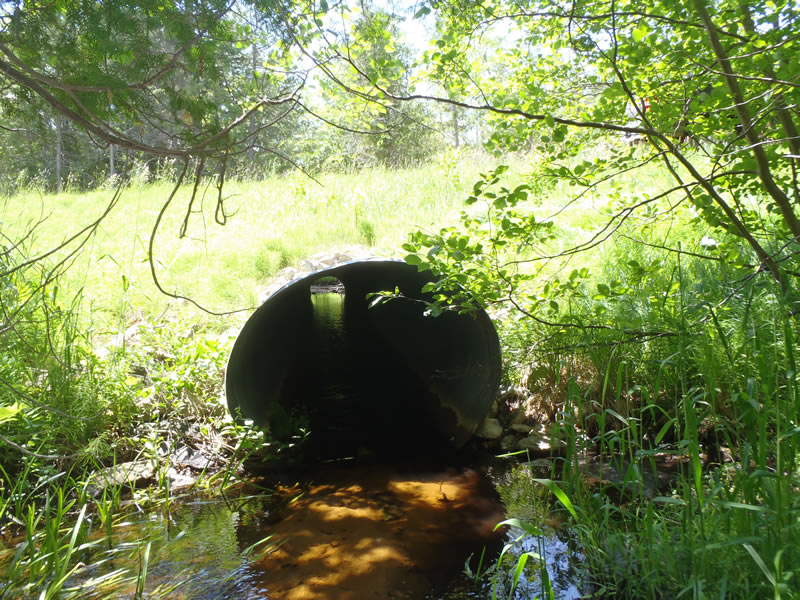
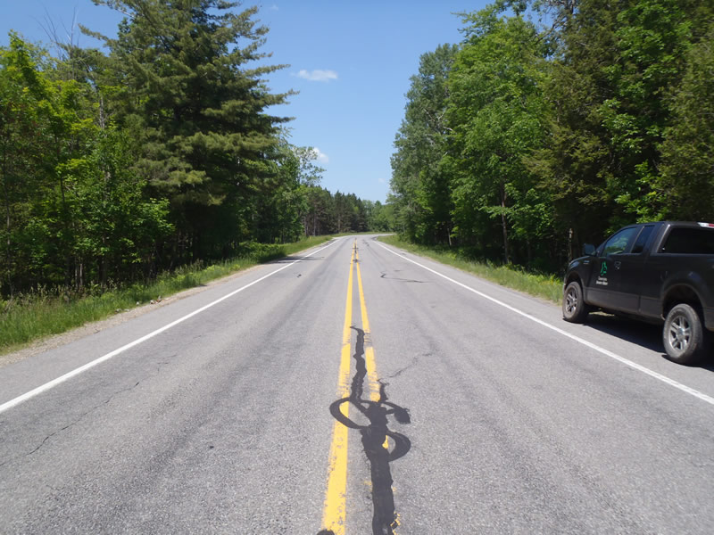
Inlet
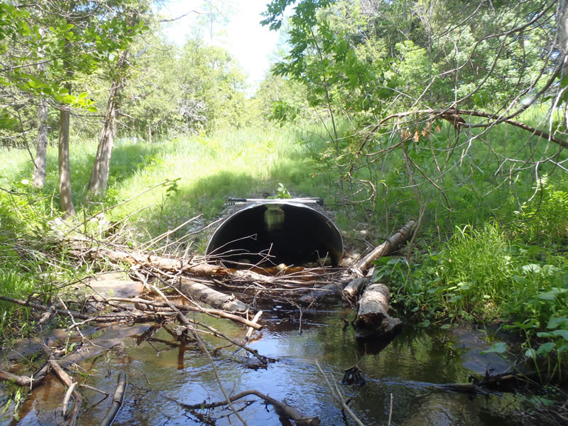
Outlet
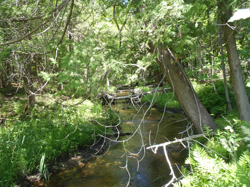
Upstream Conditions
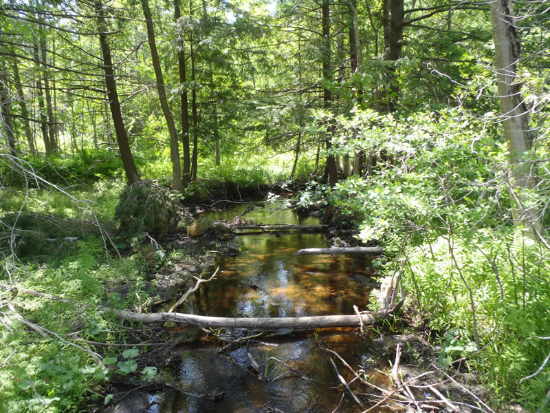
Downstream Conditions
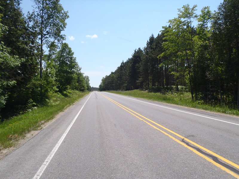
Road Approach - Left
Road Approach - Right
Crossing Information
Type of Crossing: culvert(s)
Number of Structures: 1
Structure Shape: Ellipse
Inlet Type: Projecting
Outlet Type: Cascade over Riprap
Structure Material: Metal
Structure Substrate: None
General Conditions: Good
Structure Interior: corrugated
Dimensions of Structure: Length 100 ft.
, Width 5 ft.
, Height 4 ft.
Percentage Plugged:
Inlet: 0%
Outlet: 1% to 25%
In Pipe: 0%
Percentage Crushed:
Inlet: 0%
Outlet: 1% to 25%
In Pipe: 0%
Structure is NOT Perched
Structure Inlet
Water Depth: 0.39 ft.
Embedded Depth of Structure: 0 ft.
Water Velocity*: 1.5 ft./sec.
Structure Outlet
Water Depth: 0.8 ft.
Embedded Depth of Structure: 0 ft.
Water Velocity*: 1.9 ft./sec.
*Water Velocities were measured 0.24 ft. below Surface
(with Meter)
Additional Comments
Outlet has about 1ft of field stone placed at exit and lots of large woody debris blocking flow
Stream Information
Stream Flow: Less than Bankfull
Scour Pool: Length 12 ft.
, Width 7 ft.
, Depth 1.36 ft.
Riffle Information
Water Depth: 0.29 ft.
Bankfull Width: 13.8 ft.
Wetted Width: 10.7 ft.
Water Velocity: 0.9 ft./sec.
(Measured with Meter)
Dominant Substrate: Sand
Road Information
Paved
County Road
Road Condition: Good
Road Width at Culvert: 34 ft.
Location of Low Point: Other
Runoff Path: Ditch
Embankments
Upstream
Fill Depth: 5.3 ft.
Slope: 1:2
Downstream
Fill Depth: 5.4 ft.
Slope: 1:1.5
Approaches
Left Approach
Length: 1000 ft.
Slope: Less Than 1%
Vegetation: Heavy
LS Factor: 0.05
Erosion: 0.0562 tons/year
Right Approach
Length: 387 ft.
Slope: Less Than 1%
Vegetation: Heavy
LS Factor: 0.05
Erosion: 0.0217 tons/year
Erosion Information
Total Erosion at Crossing: 0.0779 tons/year
Extent of Erosion: Moderate
Summary Information
Erosion is an area of concern for this site.
�