Road Stream Crossing Site BEAR_BC028
Bear Creek Watershed, Lemon Creek
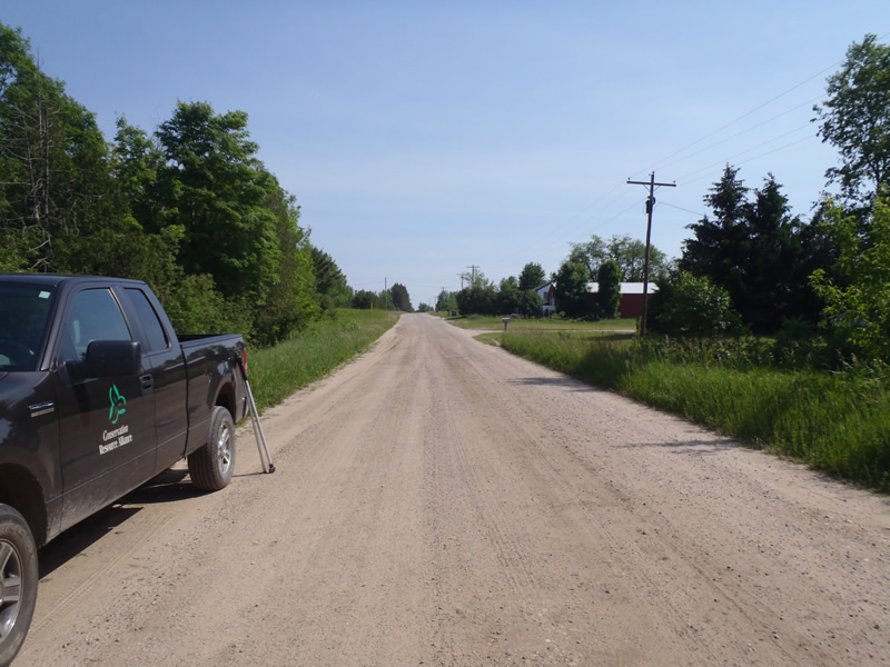
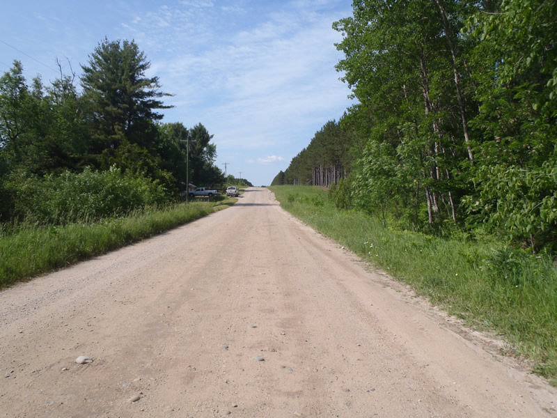
Pak Rd
Springdale Twp,
Manistee County
Information collected by:
Site Location
GPS Coordinates: 44.43242
, -86.01491
T24N
R14W
Sec 33
Owned by Private
State
State
Structure is NOT Perched
Total Erosion: 4.27 tons/year
Severity: Severe
Year Inventoried: 2011
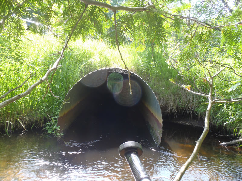
Inlet
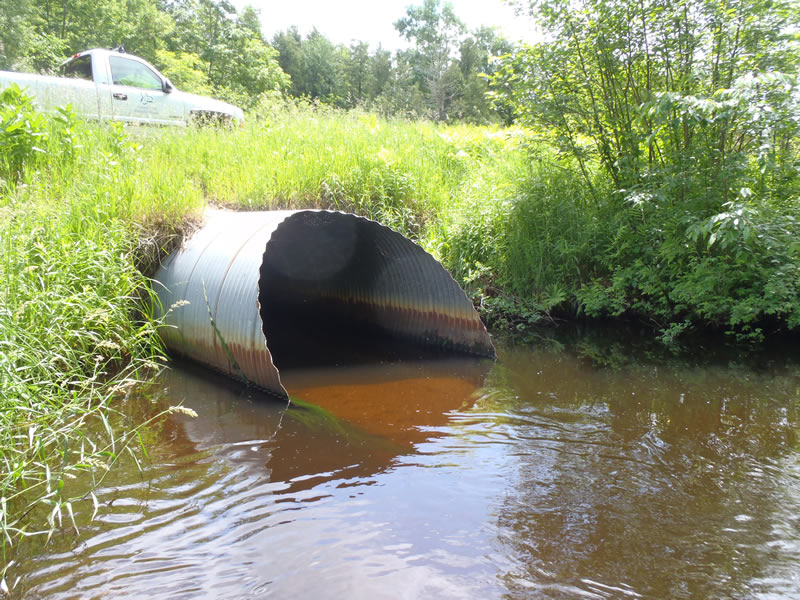
Outlet
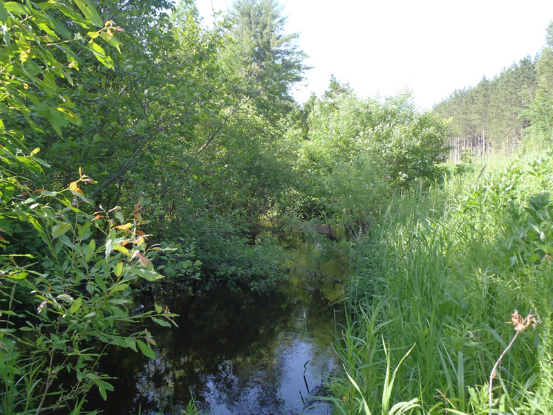
Upstream Conditions
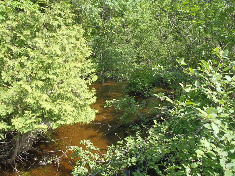
Downstream Conditions
Road Approach - Left
Road Approach - Right
Crossing Information
Type of Crossing: culvert(s)
Number of Structures: 1
Structure Shape: Round
Inlet Type: Mitered
Outlet Type: At Stream Grade
Structure Material: Metal
Structure Substrate: Sand
General Conditions: Good
Structure Interior: corrugated
Dimensions of Structure: Length 65 ft.
, Width 6 ft.
, Height 6 ft.
Structure is NOT Perched
Structure Inlet
Water Depth: 1.74 ft.
Embedded Depth of Structure: 0 ft.
Water Velocity*: 1.9 ft./sec.
Structure Outlet
Water Depth: 1.8 ft.
Embedded Depth of Structure: 0 ft.
Water Velocity*: 1.6 ft./sec.
*Water Velocities were measured 1.05 ft. below Surface
(with Meter)
Stream Information
Stream Flow: Less than Bankfull
Scour Pool: Length 30 ft.
, Width 20 ft.
, Depth 4 ft.
Riffle Information
Water Depth: 0.33 ft.
Bankfull Width: 27.2 ft.
Wetted Width: 26.7 ft.
Water Velocity: 2.2 ft./sec.
(Measured with Meter)
Dominant Substrate: Gravel
Road Information
Gravel
County Road
Road Condition: Fair
Road Width at Culvert: 25 ft.
Location of Low Point: At Stream
Runoff Path: Roadway
Embankments
Upstream
Fill Depth: 3.1 ft.
Slope: 1:1
Downstream
Fill Depth: 3.3 ft.
Slope: 1:1
Approaches
Left Approach
Length: 500 ft.
Slope: 1% to 5%
Vegetation: Heavy
LS Factor: 0.05
Erosion: 0.3444 tons/year
Right Approach
Length: 500 ft.
Slope: 1% to 5%
Vegetation: Heavy
LS Factor: 0.57
Erosion: 3.9256 tons/year
Erosion Information
Total Erosion at Crossing: 4.27 tons/year
Extent of Erosion: Moderate
Notes:
Some pooling upstream, inlet is small/oriented poorly to absorb flow, erosion is of concern.
Location of Erosion | Erosion Dimensions | Eroded Material | Material Eroded | Total Erosion | ||
facing downstream | Length | Width | Depth | Reaching Stream? | (tons/year) | |
Right Upstream Embankment |
6 ft. |
2.5 ft. |
1 ft. |
yes |
Gravelly Loam |
|
Right Downstream Embankment |
2 ft. |
2 ft. |
0.5 ft. |
yes |
Gravelly Loam |
|
Summary Information
Erosion is an area of concern for this site.
�