Road Stream Crossing Site BEAR_BC002
Bear Creek Watershed, Dutchman Creek
Springdale Rd (County Rd 669)
Springdale Twp,
Manistee County
Information collected by:
Site Location
GPS Coordinates: 44.48476
, -85.95524
T24N
R14W
Sec 12
Owned by Private
Fish Passability 1
Structure is NOT Perched
Total Erosion: 0.7001 tons/year
Severity: Minor
Year Inventoried: 2011
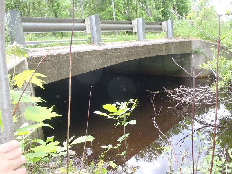
Inlet
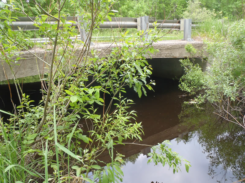
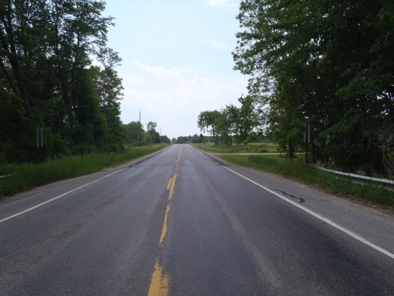
Outlet
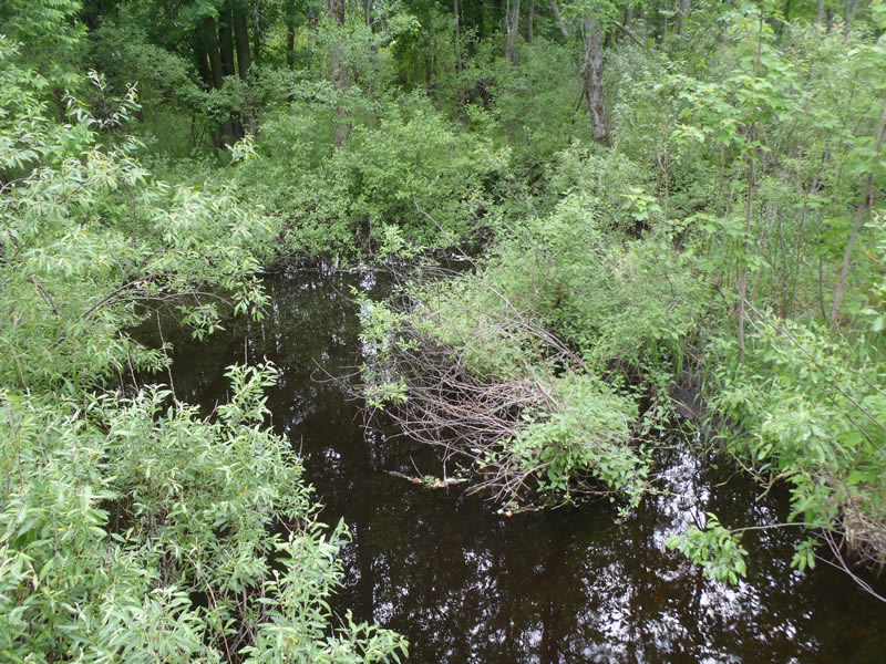
Upstream Conditions
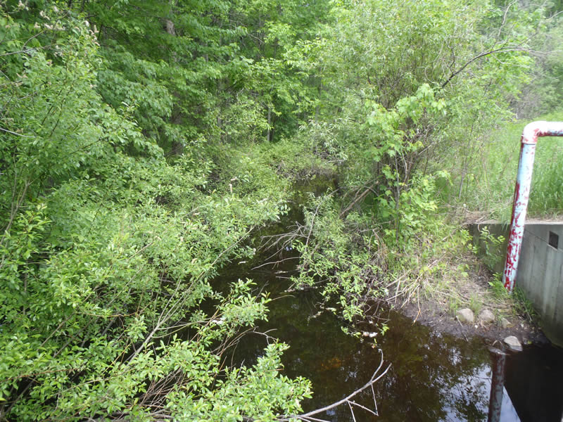
Downstream Conditions
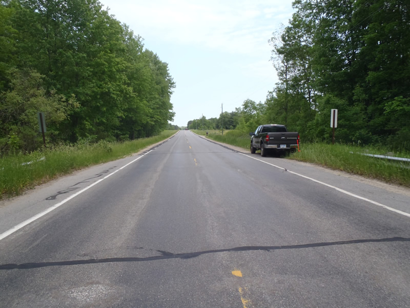
Road Approach - Left
Road Approach - Right
Crossing Information
Type of Crossing: Bridge
Structure Shape: Open Bottom Square/Rectangle
Inlet Type: Wingwall 30-70 Degree
Outlet Type: At Stream Grade
Structure Material: Concrete
Structure Substrate: Mixture
General Conditions: Fair
Structure Interior: smooth
Dimensions of Structure: Length 45 ft.
, Width 20 ft.
, Height 6.4 ft.
Structure is NOT Perched
Structure Inlet
Water Depth: 2.66 ft.
Embedded Depth of Structure: 0 ft.
Water Velocity*: 0.05 ft./sec.
Structure Outlet
Water Depth: 2.29 ft.
Embedded Depth of Structure: 0 ft.
Water Velocity*: 0.05 ft./sec.
*Water Velocities were measured 1.38 ft. below Surface
(with Meter)
Stream Information
Stream Flow: Less than Bankfull
Riffle Information
Water Depth: 0.6 ft.
Bankfull Width: 23 ft.
Wetted Width: 18 ft.
Water Velocity: 0.9 ft./sec.
(Measured with Meter)
Dominant Substrate: Sand
Road Information
Paved
County Road
Road Condition: Fair
Road Width at Culvert: 35 ft.
Location of Low Point: At Stream
Runoff Path: Roadway
Fill Depth: 0 ft.
Slope: 1:1.5
Fill Depth: 0 ft.
Slope: 1:1.5
Approaches
Left Approach
Length: 1000 ft.
Slope: 1% to 5%
Vegetation: Heavy
LS Factor: 0.57
Erosion: 0.6595 tons/year
Right Approach
Length: 702 ft.
Slope: Less Than 1%
Vegetation: Heavy
LS Factor: 0.05
Erosion: 0.0406 tons/year
Erosion Information
Total Erosion at Crossing: 0.7001 tons/year
Summary Information
Fish Passability 1
�