Road Stream Crossing Site BEAR_BC004
Bear Creek Watershed, Dutchman Creek
M-115
Cleon Twp,
Manistee County
Information collected by:
Site Location
GPS Coordinates: 44.4889
, -85.93494
T24N
R13W
Sec 7
Owned by Private
State
Local Government
State
Local Government
Fish Passability 1
Structure is NOT Perched
Total Erosion: 0.7886 tons/year
Severity: Minor
Year Inventoried: 2011
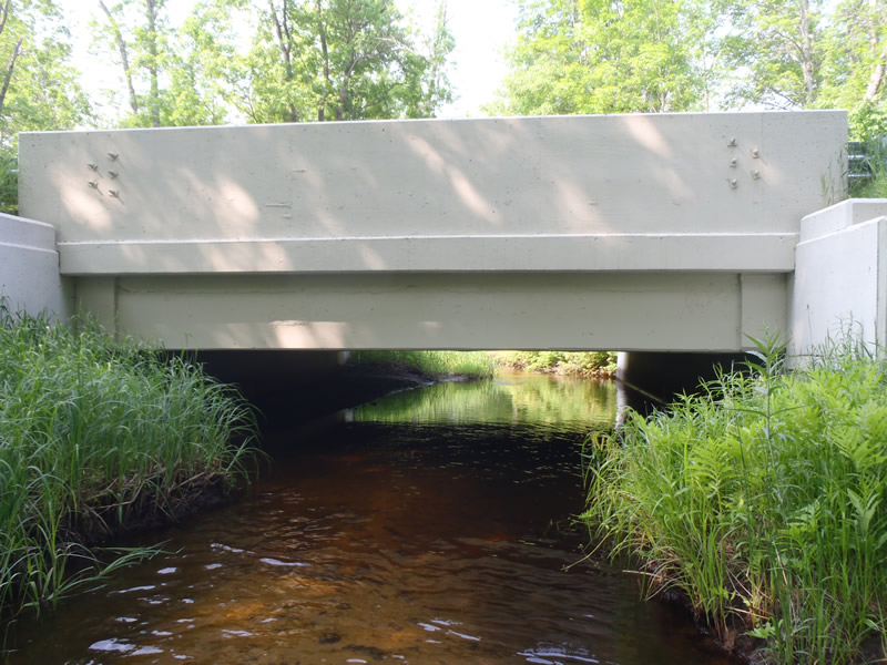
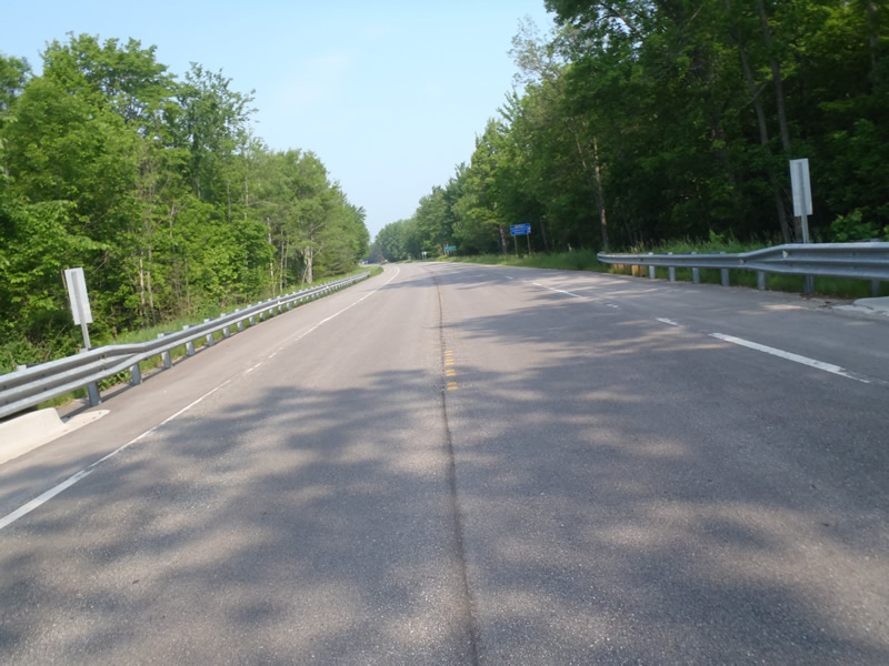
Inlet
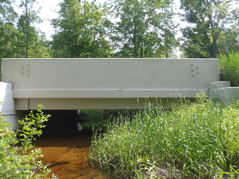
Outlet
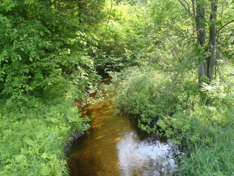
Upstream Conditions
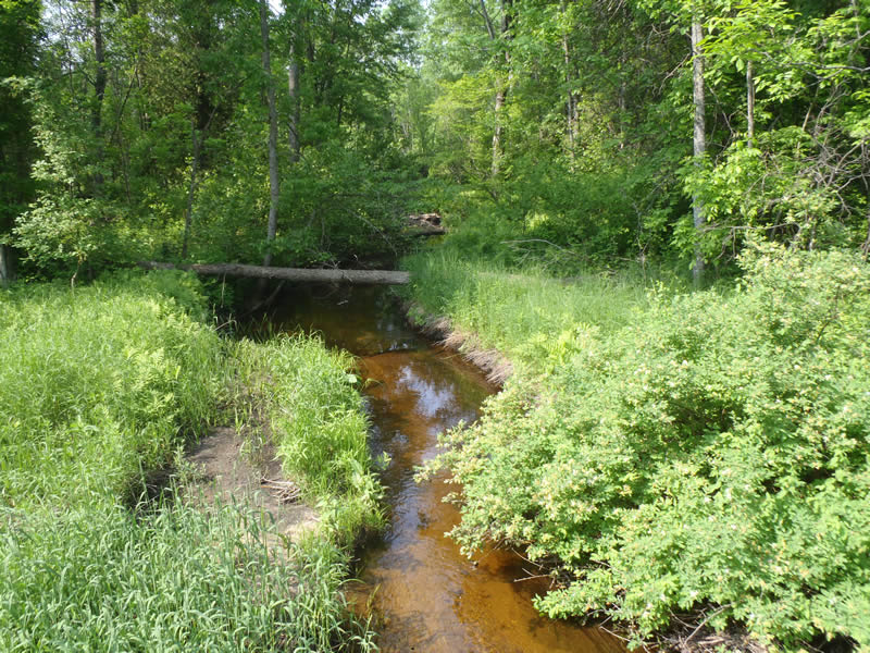
Downstream Conditions
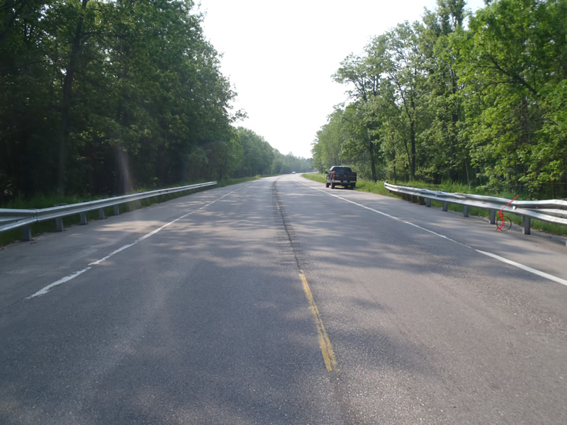
Road Approach - Left
Road Approach - Right
Crossing Information
Type of Crossing: Bridge
Structure Shape: Open Bottom Square/Rectangle
Inlet Type: Headwall
Outlet Type: At Stream Grade
Structure Material: Concrete
Structure Substrate: Sand
General Conditions: Good
Structure Interior: smooth
Dimensions of Structure: Length 40 ft.
, Width 24 ft.
, Height 5 ft.
Structure is NOT Perched
Structure Inlet
Water Depth: 1.26 ft.
Embedded Depth of Structure: 0 ft.
Water Velocity*: 0.9 ft./sec.
Structure Outlet
Water Depth: 0.35 ft.
Embedded Depth of Structure: 0 ft.
Water Velocity*: 1.2 ft./sec.
*Water Velocities were measured 0.21 ft. below Surface
(with Meter)
Stream Information
Stream Flow: Less than Bankfull
Riffle Information
Water Depth: 0.74 ft.
Bankfull Width: 13.3 ft.
Wetted Width: 11.6 ft.
Water Velocity: 1.5 ft./sec.
(Measured with Meter)
Dominant Substrate: Sand
Road Information
Paved
State Road
Road Condition: Good
Road Width at Culvert: 40 ft.
Location of Low Point: At Stream
Runoff Path: Ditch
Fill Depth: 0 ft.
Slope: Vertical
Fill Depth: 0 ft.
Slope: Vertical
Approaches
Left Approach
Length: 1000 ft.
Slope: 1% to 5%
Vegetation: Heavy
LS Factor: 0.57
Erosion: 0.7537 tons/year
Right Approach
Length: 528 ft.
Slope: Less Than 1%
Vegetation: Heavy
LS Factor: 0.05
Erosion: 0.0349 tons/year
Erosion Information
Total Erosion at Crossing: 0.7886 tons/year
Summary Information
Fish Passability 1
�