Road Stream Crossing Site BEAR_BC005
Bear Creek Watershed, Dutchman Creek
Old Railroad NE of M115
Cleon Twp,
Manistee County
Information collected by:
Site Location
GPS Coordinates: 44.48888
, -85.93357
T24N
R13W
Sec 7
Owned by Local Government
State
State
Structure is NOT Perched
Total Erosion: 0.2299 tons/year
Severity: Minor
Year Inventoried: 2011
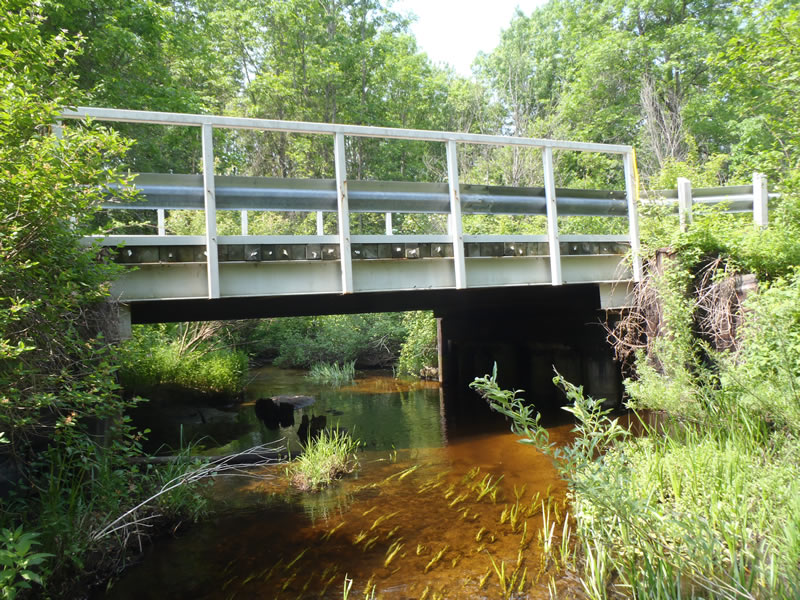
Inlet
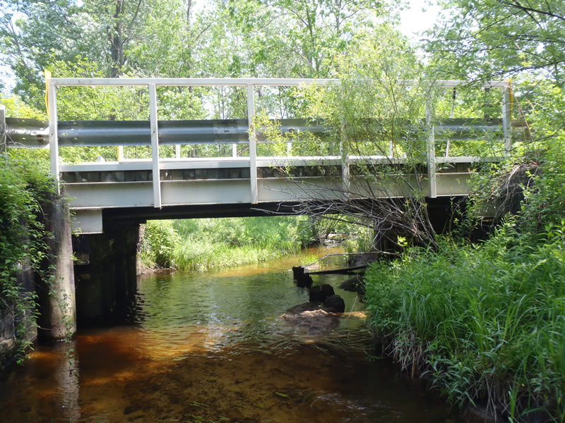
Outlet
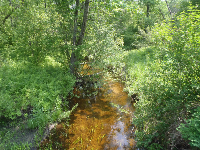
Upstream Conditions
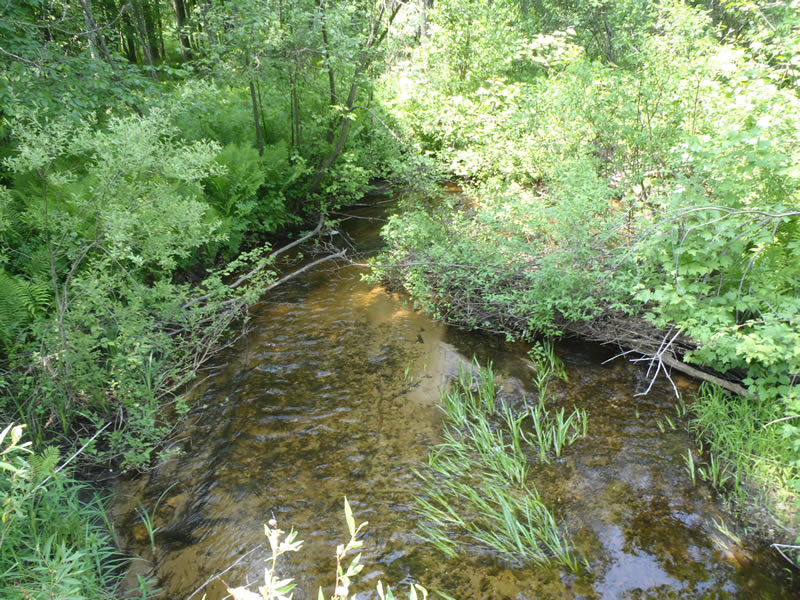
Downstream Conditions
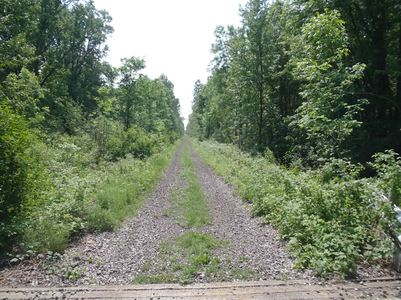
Road Approach - Left
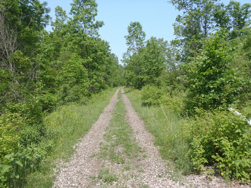
Road Approach - Right
Crossing Information
Type of Crossing: Bridge
Structure Shape: Open Bottom Square/Rectangle
Inlet Type: Other
Outlet Type: At Stream Grade
Structure Material: Wood
Structure Substrate: Sand
General Conditions: Good
Structure Interior: smooth
Dimensions of Structure: Length 14 ft.
, Width 20 ft.
, Height 6 ft.
Structure is NOT Perched
Structure Inlet
Water Depth: 1.23 ft.
Embedded Depth of Structure: 0 ft.
Water Velocity*: 1 ft./sec.
Structure Outlet
Water Depth: 1.29 ft.
Embedded Depth of Structure: 0 ft.
Water Velocity*: 0.9 ft./sec.
*Water Velocities were measured 0.74 ft. below Surface
(with Meter)
Stream Information
Stream Flow: Less than Bankfull
Riffle Information
Water Depth: 0.45 ft.
Bankfull Width: 16.7 ft.
Wetted Width: 14.3 ft.
Water Velocity: 1.9 ft./sec.
(Measured with Meter)
Dominant Substrate: Gravel
Road Information
Gravel
County Road
(Seasonal)
Road Condition: Good
Road Width at Culvert: 14 ft.
Location of Low Point: At Stream
Runoff Path: Ditch
Fill Depth: 0 ft.
Slope: Vertical
Fill Depth: 0 ft.
Slope: Vertical
Approaches
Left Approach
Length: 523 ft.
Slope: Less Than 1%
Vegetation: Heavy
LS Factor: 0.05
Erosion: 0.1009 tons/year
Right Approach
Length: 669 ft.
Slope: Less Than 1%
Vegetation: Heavy
LS Factor: 0.05
Erosion: 0.129 tons/year
Erosion Information
Total Erosion at Crossing: 0.2299 tons/year
Extent of Erosion: Moderate
Summary Information
Erosion is an area of concern for this site.
These non-native species were observerd at this site: Knapweed
�