Road Stream Crossing Site BEAR_BC014
Bear Creek Watershed, First Creek
Read Rd
Cleon Twp,
Manistee County
Information collected by:
Site Location
GPS Coordinates: 44.46942
, -85.93841
T24N
R13W
Sec 18
Owned by Private
State
State
Fish Passability 1
Structure is NOT Perched
Total Erosion: 0.2834 tons/year
Severity: Minor
Year Inventoried: 2011
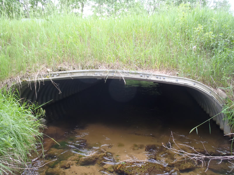
Inlet
Outlet
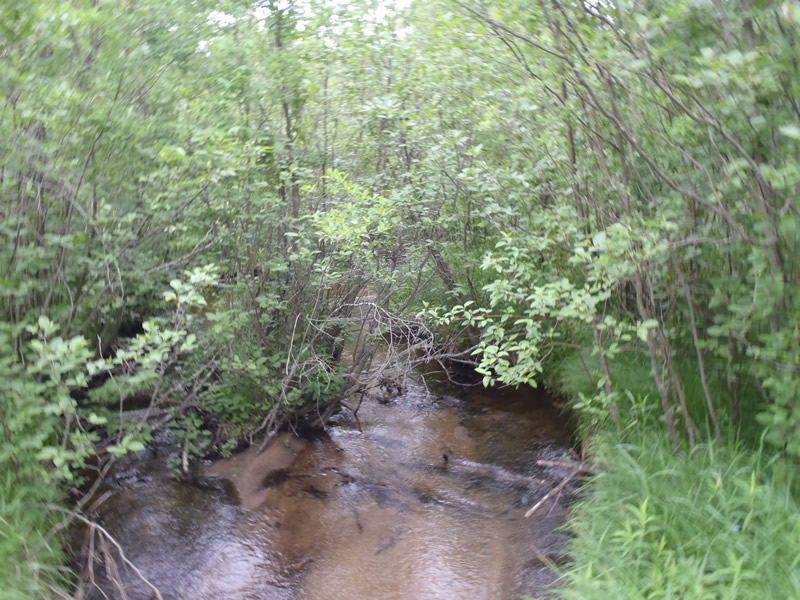
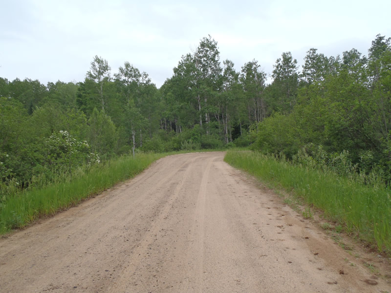
Upstream Conditions
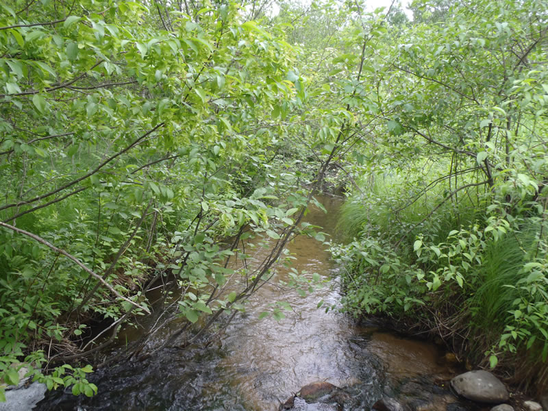
Downstream Conditions
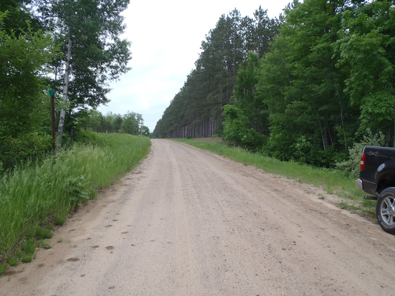
Road Approach - Left
Road Approach - Right
Crossing Information
Type of Crossing: culvert(s)
Number of Structures: 1
Structure Shape: Open Bottom Square/Rectangle
Inlet Type: Projecting
Outlet Type: At Stream Grade
Structure Material: Metal
Structure Substrate: Sand
General Conditions: Good
Structure Interior: corrugated
Dimensions of Structure: Length 45 ft.
, Width 13 ft.
, Height 4 ft.
Structure is NOT Perched
Structure Inlet
Water Depth: 1.13 ft.
Embedded Depth of Structure: 0 ft.
Water Velocity*: 1.9 ft./sec.
Structure Outlet
Water Depth: 0.62 ft.
Embedded Depth of Structure: 0 ft.
Water Velocity*: 1.4 ft./sec.
*Water Velocities were measured 0.38 ft. below Surface
(with Meter)
Stream Information
Stream Flow: Less than Bankfull
Riffle Information
Water Depth: 0.47 ft.
Bankfull Width: 11.6 ft.
Wetted Width: 10.8 ft.
Water Velocity: 1.9 ft./sec.
(Measured with Meter)
Dominant Substrate: Sand
Road Information
Gravel
County Road
Road Condition: Fair
Road Width at Culvert: 18 ft.
Location of Low Point: At Stream
Runoff Path: Roadway
Embankments
Upstream
Fill Depth: 4 ft.
Slope: 1:1
Downstream
Fill Depth: 3.5 ft.
Slope: 1:1
Approaches
Left Approach
Length: 1000 ft.
Slope: Less Than 1%
Vegetation: Heavy
LS Factor: 0.05
Erosion: 0.2479 tons/year
Right Approach
Length: 143 ft.
Slope: Less Than 1%
Vegetation: Heavy
LS Factor: 0.05
Erosion: 0.0355 tons/year
Erosion Information
Total Erosion at Crossing: 0.2834 tons/year
Summary Information
Fish Passability 1
These non-native species were observerd at this site: Knapweed
�