Road Stream Crossing Site BEAR_BC017
Bear Creek Watershed, Second Creek
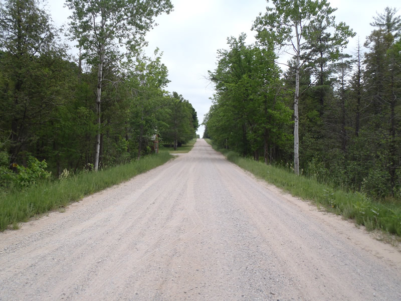
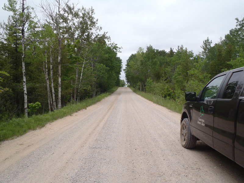
Erwin Rd
Cleon Twp,
Manistee County
Information collected by:
Site Location
GPS Coordinates: 44.44494
, -85.89905
T24N
R13W
Sec 29
Owned by Private
Perch Height: 0.6 ft.
Total Erosion: 7.1593 tons/year
Severity: Severe
Year Inventoried: 2011
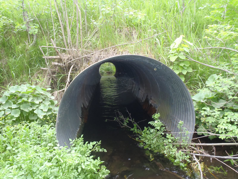
Inlet
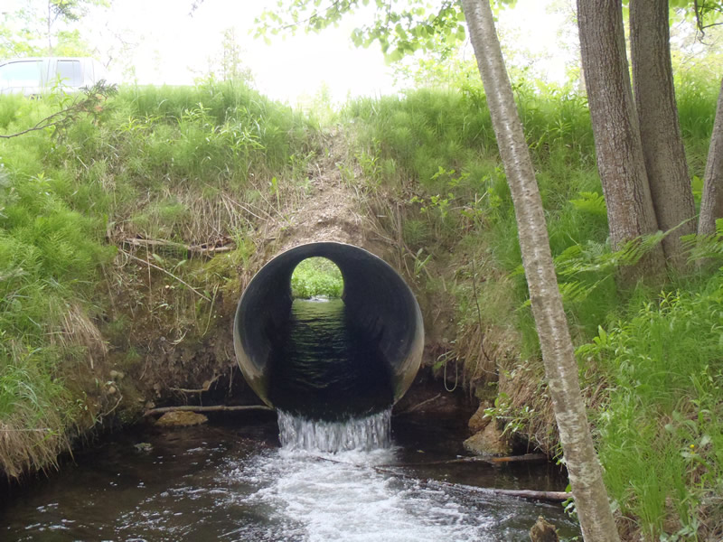
Outlet
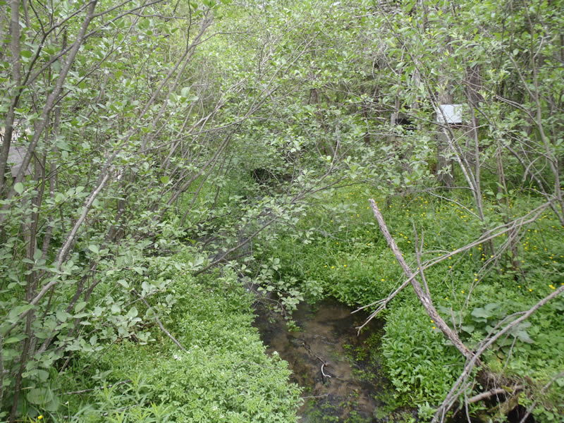
Upstream Conditions
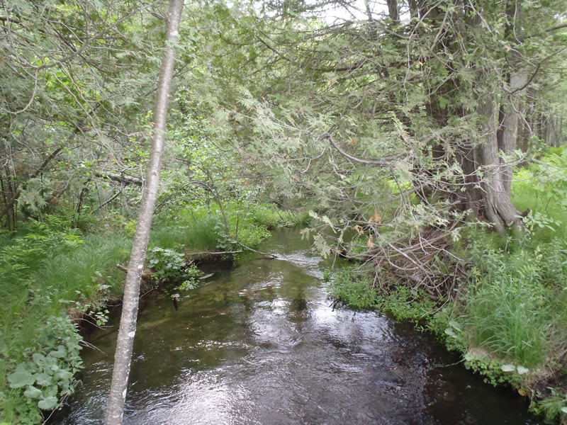
Downstream Conditions
Road Approach - Left
Road Approach - Right
Crossing Information
Type of Crossing: culvert(s)
Number of Structures: 1
Structure Shape: Round
Inlet Type: Projecting
Outlet Type: Freefall into Pool
Structure Material: Metal
Structure Substrate: None
General Conditions: Fair
Structure Interior: corrugated
Dimensions of Structure: Length 45 ft.
, Width 4 ft.
, Height 4 ft.
Perch Height: 0.6 ft.
Structure Inlet
Water Depth: 0.95 ft.
Embedded Depth of Structure: 0 ft.
Water Velocity*: 2.8 ft./sec.
Structure Outlet
Water Depth: 0.55 ft.
Embedded Depth of Structure: 0 ft.
Water Velocity*: 6 ft./sec.
*Water Velocities were measured 0.33 ft. below Surface
(with Meter)
Stream Information
Stream Flow: Less than Bankfull
Scour Pool: Length 20 ft.
, Width 13 ft.
, Depth 2.9 ft.
Riffle Information
Water Depth: 0.6 ft.
Bankfull Width: 12.1 ft.
Wetted Width: 11.2 ft.
Water Velocity: 2.1 ft./sec.
(Measured with Meter)
Dominant Substrate: Gravel
Road Information
Gravel
County Road
Road Condition: Good
Road Width at Culvert: 23 ft.
Location of Low Point: At Stream
Runoff Path: Ditch
Embankments
Upstream
Fill Depth: 3.5 ft.
Slope: More than 1:2
Downstream
Fill Depth: 3.5 ft.
Slope: More than 1:2
Approaches
Left Approach
Length: 470 ft.
Slope: 1% to 5%
Vegetation: Heavy
LS Factor: 0.57
Erosion: 3.6116 tons/year
Right Approach
Length: 500 ft.
Slope: 1% to 5%
Vegetation: Heavy
LS Factor: 0.548
Erosion: 2.7413 tons/year
Erosion Information
Total Erosion at Crossing: 7.1593 tons/year
Extent of Erosion: Severe
Erosion is occurring and corrective actions can be installed to address the problem.
Notes:
Severe downstream erosion (that landowner claims occurred during 2011 spring storms) due to lack of stabilizing vegetation, increased road runoff and sheer stress of high velocity outlet water from perched culvert.
Location of Erosion | Erosion Dimensions | Eroded Material | Material Eroded | Total Erosion | ||
facing downstream | Length | Width | Depth | Reaching Stream? | (tons/year) | |
Right Downstream Embankment |
9 ft. |
4 ft. |
2 ft. |
yes |
Sandy Loam |
0.3456 |
Left Downstream Embankment |
8 ft. |
3 ft. |
3 ft. |
yes |
Sandy Loam |
0.4608 |
Summary Information
Fish Passage is an area of concern for this site.
Perched Culvert and excessive outlet velocities along with embankment erosion.
A future visit to this site is recommended.
Assess fish passage and erosion conditions further.
These non-native species were observerd at this site: Knapweed
�